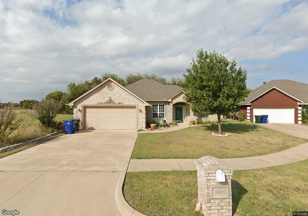
3005 Shelbie Cir Duncan, OK 73533
Estimated Value: $228,000 - $298,651
3
Beds
2
Baths
2,914
Sq Ft
$91/Sq Ft
Est. Value
About This Home
This home is located at 3005 Shelbie Cir, Duncan, OK 73533 and is currently estimated at $265,163, approximately $90 per square foot. 3005 Shelbie Cir is a home located in Stephens County with nearby schools including Mark Twain Elementary School, Duncan Middle School, and Duncan High School.
Ownership History
Date
Name
Owned For
Owner Type
Purchase Details
Closed on
Jan 31, 2024
Sold by
Szenasy Irrevocable Trust
Bought by
Williams Revocable Living Trust
Current Estimated Value
Purchase Details
Closed on
Jul 8, 2019
Sold by
Williams Ruth A
Bought by
Williams Ruth A and The Szenasy Irrevocable Trust
Purchase Details
Closed on
Nov 28, 2006
Sold by
Stone Castle Enterprises Llc
Bought by
The Szenasy Family Trust
Purchase Details
Closed on
Feb 16, 2006
Sold by
Mcsha Partners No 12 Llc
Bought by
Stone Castle Enterprises Llc
Home Financials for this Owner
Home Financials are based on the most recent Mortgage that was taken out on this home.
Original Mortgage
$121,600
Interest Rate
6.05%
Mortgage Type
Construction
Purchase Details
Closed on
Dec 30, 2003
Sold by
Mcsha Financial Group Llc
Create a Home Valuation Report for This Property
The Home Valuation Report is an in-depth analysis detailing your home's value as well as a comparison with similar homes in the area
Home Values in the Area
Average Home Value in this Area
Purchase History
| Date | Buyer | Sale Price | Title Company |
|---|---|---|---|
| Williams Revocable Living Trust | -- | None Listed On Document | |
| Williams Ruth A | -- | None Available | |
| The Szenasy Family Trust | $153,500 | None Available | |
| Stone Castle Enterprises Llc | $8,000 | None Available | |
| -- | -- | -- |
Source: Public Records
Mortgage History
| Date | Status | Borrower | Loan Amount |
|---|---|---|---|
| Previous Owner | Stone Castle Enterprises Llc | $121,600 |
Source: Public Records
Tax History Compared to Growth
Tax History
| Year | Tax Paid | Tax Assessment Tax Assessment Total Assessment is a certain percentage of the fair market value that is determined by local assessors to be the total taxable value of land and additions on the property. | Land | Improvement |
|---|---|---|---|---|
| 2025 | $1,681 | $29,300 | $1,758 | $27,542 |
| 2024 | $1,681 | $20,738 | $1,227 | $19,511 |
| 2023 | $1,681 | $20,739 | $1,493 | $19,246 |
| 2022 | $1,585 | $19,638 | $1,459 | $18,179 |
| 2021 | $1,587 | $19,638 | $1,510 | $18,128 |
| 2020 | $1,609 | $19,638 | $1,550 | $18,088 |
| 2019 | $1,612 | $19,638 | $1,517 | $18,121 |
| 2018 | $1,660 | $19,638 | $1,702 | $17,936 |
| 2017 | $1,602 | $19,638 | $1,597 | $18,041 |
| 2016 | $1,584 | $19,638 | $1,584 | $18,054 |
| 2015 | $1,632 | $19,638 | $1,584 | $18,054 |
| 2014 | $1,632 | $19,638 | $1,500 | $18,138 |
Source: Public Records
Map
Nearby Homes
- 106 Emery Rd
- 210 210 N 31st St
- 206 N 28th St
- 0 W Beech Ave
- 201 N 23rd St
- 2110 W Main St
- 625 Westview Rd
- 209 N 22nd St
- 2108 Ave
- 210 N 22nd St
- 1244 Carriage Dr
- 2011 2011 W Oak Ave
- 2006 W Oak Ave
- 507 N Alice Dr
- 1359 Smith Rd
- 2210 Western Dr
- 174831 N 2844 Rd
- 1812 W Walnut Ave
- 1385 Smith Rd
- 2230 W Spruce St