Estimated Value: $320,153 - $428,000
3
Beds
2
Baths
1,655
Sq Ft
$230/Sq Ft
Est. Value
About This Home
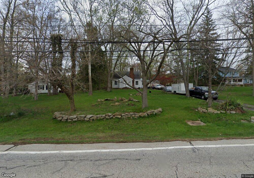
This home is located at 30055 Cannon Rd, Solon, OH 44139 and is currently estimated at $380,288, approximately $229 per square foot. 30055 Cannon Rd is a home located in Cuyahoga County with nearby schools including Dorothy E Lewis Elementary School, Orchard Middle School, and Solon Middle School.
Ownership History
Date
Name
Owned For
Owner Type
Purchase Details
Closed on
Jun 17, 1999
Sold by
Rice M Randy
Bought by
Mackey Christine
Current Estimated Value
Home Financials for this Owner
Home Financials are based on the most recent Mortgage that was taken out on this home.
Original Mortgage
$54,000
Outstanding Balance
$12,849
Interest Rate
7.06%
Estimated Equity
$367,439
Purchase Details
Closed on
Oct 28, 1988
Sold by
Frusterro Paul and Frusterro Ida
Bought by
Frusterio Michael
Purchase Details
Closed on
Apr 3, 1987
Sold by
Michael Frustereo
Bought by
Frusterro Paul and Frusterro Ida
Purchase Details
Closed on
Jun 11, 1980
Sold by
Frustereo Paul and Frustereo Ida
Bought by
Michael Frustereo
Purchase Details
Closed on
Jan 1, 1975
Bought by
Frustereo Paul and Frustereo Ida
Create a Home Valuation Report for This Property
The Home Valuation Report is an in-depth analysis detailing your home's value as well as a comparison with similar homes in the area
Home Values in the Area
Average Home Value in this Area
Purchase History
| Date | Buyer | Sale Price | Title Company |
|---|---|---|---|
| Mackey Christine | $60,000 | Pro Title Agency Inc | |
| Frusterio Michael | -- | -- | |
| Frusterro Paul | -- | -- | |
| Michael Frustereo | -- | -- | |
| Frustereo Paul | -- | -- |
Source: Public Records
Mortgage History
| Date | Status | Borrower | Loan Amount |
|---|---|---|---|
| Open | Mackey Christine | $54,000 |
Source: Public Records
Tax History
| Year | Tax Paid | Tax Assessment Tax Assessment Total Assessment is a certain percentage of the fair market value that is determined by local assessors to be the total taxable value of land and additions on the property. | Land | Improvement |
|---|---|---|---|---|
| 2025 | $5,874 | $101,955 | $23,765 | $78,190 |
| 2024 | $5,698 | $101,955 | $23,765 | $78,190 |
| 2023 | $4,980 | $72,910 | $21,880 | $51,030 |
| 2022 | $5,148 | $72,910 | $21,880 | $51,030 |
| 2021 | $4,918 | $72,910 | $21,880 | $51,030 |
| 2020 | $4,932 | $66,890 | $20,060 | $46,830 |
| 2019 | $4,924 | $191,100 | $57,300 | $133,800 |
| 2018 | $4,260 | $66,890 | $20,060 | $46,830 |
| 2017 | $4,056 | $59,750 | $26,880 | $32,870 |
| 2016 | $4,283 | $59,750 | $26,880 | $32,870 |
| 2015 | $4,078 | $59,750 | $26,880 | $32,870 |
| 2014 | $4,078 | $55,340 | $24,890 | $30,450 |
Source: Public Records
Map
Nearby Homes
- 5496 Stone Creek
- 30705 Cannon Rd
- 30875 Cannon Rd
- 5560 Elm Hill Dr
- S/L 12 Neptune Oval
- S/L 1 Neptune Oval
- S/L 2 Neptune Oval
- S/L 3 Neptune Oval
- S/L 4 Neptune Oval
- S/L 11 Neptune Oval
- 32420 Tracy Ln
- 28300 Aurora Rd
- 5034 Medhurst Ave
- S/L 13 Neptune Oval
- 5068 Neptune Oval
- 5089 Neptune Oval
- 5092 Neptune Oval
- 5076 Neptune Oval
- 5060 Neptune Oval
- 5009 Lansdowne Dr
- 5499 Cannon Rd
- 30125 Cannon Rd
- 30195 Cannon Rd
- 5481 Harper Rd
- 29945 Cannon Rd
- 30190 Cannon Rd
- 5500 Cannon Rd
- 5480 Cannon Rd
- 5480 Harper Rd
- 30220 Cannon Rd
- 30255 Cannon Rd
- 5490 Harper Rd
- 29950 Cannon Rd
- 5 S/L Brookside Trail
- 5461 Harper Rd
- 29895 Cannon Rd
- 5505 Cannon Rd
- 30270 Cannon Rd
- 29850 Cannon Rd
- 5575 Harper Rd
Your Personal Tour Guide
Ask me questions while you tour the home.