3006 Laurel Bush Rd Abingdon, MD 21009
Estimated Value: $930,000
Studio
1
Bath
1,143
Sq Ft
$814/Sq Ft
Est. Value
About This Home
This home is located at 3006 Laurel Bush Rd, Abingdon, MD 21009 and is currently priced at $930,000, approximately $813 per square foot. 3006 Laurel Bush Rd is a home located in Harford County with nearby schools including William S. James Elementary School, Patterson Mill Middle School, and Patterson Mill High School.
Ownership History
Date
Name
Owned For
Owner Type
Purchase Details
Closed on
Aug 25, 2022
Sold by
Garden Glen Llc
Bought by
Maxwell Erin Colleen and Maxwell William Cory
Current Estimated Value
Purchase Details
Closed on
Dec 11, 2020
Sold by
Rosel Joseph
Bought by
Garden Glen Llc
Home Financials for this Owner
Home Financials are based on the most recent Mortgage that was taken out on this home.
Original Mortgage
$160,000
Interest Rate
2.8%
Mortgage Type
Purchase Money Mortgage
Purchase Details
Closed on
Feb 7, 1983
Sold by
Beall Forrest R and Beall Wf
Bought by
Rosel Joseph
Home Financials for this Owner
Home Financials are based on the most recent Mortgage that was taken out on this home.
Original Mortgage
$51,300
Interest Rate
13.06%
Create a Home Valuation Report for This Property
The Home Valuation Report is an in-depth analysis detailing your home's value as well as a comparison with similar homes in the area
Home Values in the Area
Average Home Value in this Area
Purchase History
| Date | Buyer | Sale Price | Title Company |
|---|---|---|---|
| Maxwell Erin Colleen | $432,440 | Stewart Title Guaranty Company | |
| Garden Glen Llc | $816,000 | Residential T&E Co | |
| Rosel Joseph | $52,000 | -- |
Source: Public Records
Mortgage History
| Date | Status | Borrower | Loan Amount |
|---|---|---|---|
| Previous Owner | Garden Glen Llc | $160,000 | |
| Previous Owner | Rosel Joseph | $51,300 |
Source: Public Records
Tax History
| Year | Tax Paid | Tax Assessment Tax Assessment Total Assessment is a certain percentage of the fair market value that is determined by local assessors to be the total taxable value of land and additions on the property. | Land | Improvement |
|---|---|---|---|---|
| 2021 | $1,626 | $142,600 | $142,600 | $0 |
| 2020 | $2,653 | $229,900 | $142,600 | $87,300 |
| 2019 | $2,636 | $228,433 | $0 | $0 |
| 2018 | $2,619 | $226,967 | $0 | $0 |
| 2017 | $2,602 | $225,500 | $0 | $0 |
| 2016 | $314 | $223,333 | $0 | $0 |
| 2015 | $2,804 | $221,167 | $0 | $0 |
| 2014 | $2,804 | $219,000 | $0 | $0 |
Source: Public Records
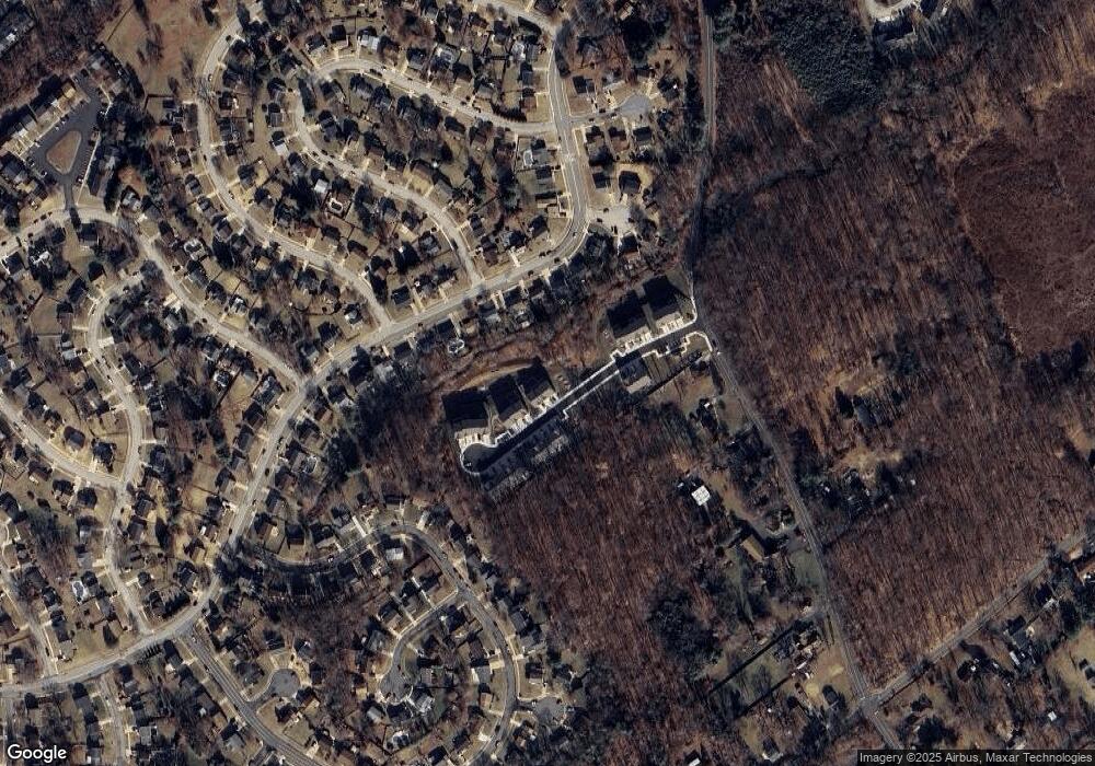
Map
Nearby Homes
- 2961 Harrogate Way
- 2934 Strathaven Ln
- 3102 Laurel Bush Rd
- 2917 Brightwater Ln
- 115 Hastings Ct
- 2923 Alconbury Ct
- 316 Spruce Pine Rd
- 2000 Treese Unit DEVONSHIRE
- 2000 Treese Unit SAVANNAH
- 2000 Treese Unit MAGNOLIA
- 2000 Treese Unit COVINGTON
- 2930 Haddington Ct
- 745 Dowers Rd
- 3172 Hidden Ridge Terrace
- 3134 Birch Brook Ln
- 2712 Parallel Path
- 200 Wood Valley Ct
- 20 Huxley Cir
- 3137 Birch Brook Ln
- 922 Sidehill Dr
- 650 Stirling Ct
- 652 Snapdragon Ct
- 3008 Laurel Bush Rd
- 3010 Laurel Bush Rd
- TBD-1 Snapdragon Ct
- 639 Snapdragon Ct
- 2952 Burnt Oak Ct
- 223 Kensington Pkwy
- 225 Kensington Pkwy
- 221 Kensington Pkwy
- 3012 Laurel Bush Rd
- 2955 Burnt Oak Ct
- 219 Kensington Pkwy
- 2953 Burnt Oak Ct
- 619 Snapdragon Ct
- 217 Kensington Pkwy
- 2951 Burnt Oak Ct
- 216 Kensington Pkwy
- 617 Snapdragon Ct
- 220 Kensington Pkwy
Your Personal Tour Guide
Ask me questions while you tour the home.