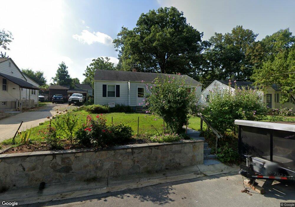
3006 Newton St Silver Spring, MD 20902
Estimated Value: $393,000 - $499,000
3
Beds
2
Baths
1,488
Sq Ft
$313/Sq Ft
Est. Value
About This Home
This home is located at 3006 Newton St, Silver Spring, MD 20902 and is currently estimated at $466,326, approximately $313 per square foot. 3006 Newton St is a home located in Montgomery County with nearby schools including Arcola Elementary School, Odessa Shannon Middle School, and Northwood High School.
Ownership History
Date
Name
Owned For
Owner Type
Purchase Details
Closed on
May 19, 2011
Sold by
Blasko Raymond E and Blasko Arlene A
Bought by
Mcculley Nicholas L
Current Estimated Value
Home Financials for this Owner
Home Financials are based on the most recent Mortgage that was taken out on this home.
Original Mortgage
$214,515
Outstanding Balance
$148,872
Interest Rate
4.85%
Mortgage Type
VA
Estimated Equity
$317,454
Create a Home Valuation Report for This Property
The Home Valuation Report is an in-depth analysis detailing your home's value as well as a comparison with similar homes in the area
Home Values in the Area
Average Home Value in this Area
Purchase History
We collect this data history from publicly available records. To have your information removed, we recommend requesting removal directly through your county’s website.
| Date | Buyer | Sale Price | Title Company |
|---|---|---|---|
| Mcculley Nicholas L | $210,000 | First American Title Ins Co |
Source: Public Records
Mortgage History
We collect this data history from publicly available records. To have your information removed, we recommend requesting removal directly through your county’s website.
| Date | Status | Borrower | Loan Amount |
|---|---|---|---|
| Open | Mcculley Nicholas L | $214,515 |
Source: Public Records
Tax History
| Year | Tax Paid | Tax Assessment Tax Assessment Total Assessment is a certain percentage of the fair market value that is determined by local assessors to be the total taxable value of land and additions on the property. | Land | Improvement |
|---|---|---|---|---|
| 2025 | $4,697 | $362,800 | $172,500 | $190,300 |
| 2024 | $4,697 | $344,467 | $0 | $0 |
| 2023 | $5,153 | $326,133 | $0 | $0 |
| 2022 | $3,358 | $307,800 | $172,500 | $135,300 |
| 2021 | $2,874 | $290,433 | $0 | $0 |
| 2020 | $2,874 | $273,067 | $0 | $0 |
| 2019 | $2,648 | $255,700 | $157,900 | $97,800 |
| 2018 | $2,535 | $247,833 | $0 | $0 |
| 2017 | $2,433 | $239,967 | $0 | $0 |
| 2016 | -- | $232,100 | $0 | $0 |
| 2015 | $2,161 | $229,733 | $0 | $0 |
| 2014 | $2,161 | $227,367 | $0 | $0 |
Source: Public Records
Map
Nearby Homes
- 2921 Kingswell Ct
- 2913 Weisman Rd
- 12124 Livingston St
- 2807 Sheraton St
- 2715 Randolph Rd
- 12204 Bluhill Rd
- 12324 Centerhill St
- 2707 Urbana Dr
- 12304 Livingston St
- 12333 Dalewood Dr
- 12520 Epping Ct
- 12025 Claridge Rd
- 12106 Bluhill Rd
- 12702 Holdridge Rd
- 12628 Farnell Dr
- 12220 Centerhill St
- 3410 Embry St
- 3027 Medway St
- 2816 Harris Ave
- 3506 Harrell St
- 3004 Newton St
- 3008 Newton St
- 2912 Lindell Ct
- 3002 Newton St
- 2910 Lindell Ct
- 2914 Lindell Ct
- 3003 Newton St
- 2918 Lindell St
- 3000 Lindell St
- 2916 Lindell St
- 2908 Lindell Ct
- 3013 Weisman Rd
- 3002 Lindell St
- 3004 Lindell St
- 2904 Lindell Ct
- 3011 Weisman Rd
- 2906 Lindell Ct
- 2902 Lindell St
- 2907 Lindell St
- 3001 Lindell St
Your Personal Tour Guide
Ask me questions while you tour the home.