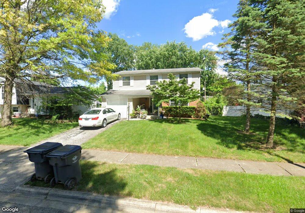
3006 Osgood Rd E Columbus, OH 43232
East Columbus-White Ash NeighborhoodEstimated Value: $248,961 - $281,000
4
Beds
3
Baths
1,644
Sq Ft
$161/Sq Ft
Est. Value
About This Home
This home is located at 3006 Osgood Rd E, Columbus, OH 43232 and is currently estimated at $264,740, approximately $161 per square foot. 3006 Osgood Rd E is a home located in Franklin County with nearby schools including Groveport Madison High School, A+ Arts Academy, and Eastland Preparatory Academy.
Ownership History
Date
Name
Owned For
Owner Type
Purchase Details
Closed on
Dec 22, 2011
Sold by
U S Bank Na
Bought by
Secretary Of Housing & Urban Development
Current Estimated Value
Purchase Details
Closed on
Aug 4, 2011
Sold by
Bonner Angela D
Bought by
Us Bank Na
Purchase Details
Closed on
Sep 2, 1975
Bought by
Schott Michael A
Create a Home Valuation Report for This Property
The Home Valuation Report is an in-depth analysis detailing your home's value as well as a comparison with similar homes in the area
Home Values in the Area
Average Home Value in this Area
Purchase History
| Date | Buyer | Sale Price | Title Company |
|---|---|---|---|
| Secretary Of Housing & Urban Development | -- | None Available | |
| Us Bank Na | $60,000 | None Available | |
| Schott Michael A | -- | -- |
Source: Public Records
Tax History
| Year | Tax Paid | Tax Assessment Tax Assessment Total Assessment is a certain percentage of the fair market value that is determined by local assessors to be the total taxable value of land and additions on the property. | Land | Improvement |
|---|---|---|---|---|
| 2025 | $3,798 | $75,050 | $17,820 | $57,230 |
| 2024 | $3,798 | $75,050 | $17,820 | $57,230 |
| 2023 | $3,639 | $75,040 | $17,815 | $57,225 |
| 2022 | $2,494 | $40,320 | $6,300 | $34,020 |
| 2021 | $2,504 | $40,320 | $6,300 | $34,020 |
| 2020 | $2,538 | $40,320 | $6,300 | $34,020 |
| 2019 | $2,268 | $33,360 | $5,250 | $28,110 |
| 2018 | $2,244 | $33,360 | $5,250 | $28,110 |
| 2017 | $2,274 | $33,360 | $5,250 | $28,110 |
| 2016 | $2,261 | $29,890 | $4,340 | $25,550 |
| 2015 | $2,206 | $29,890 | $4,340 | $25,550 |
| 2014 | $2,227 | $29,890 | $4,340 | $25,550 |
| 2013 | $1,060 | $33,215 | $4,830 | $28,385 |
Source: Public Records
Map
Nearby Homes
- 2998 Osgood Rd E
- 5290 Quincy Dr
- 5373 Spire Ln
- 5361 Parkline Dr
- 3012 Argonne Ct
- 2900 Gentry Ln
- 2908 Renfro Rd
- 5326 Adderley Ave
- 5143 Rutledge Dr N
- 5137 Holbrook Dr
- 5185 Rutledge Dr S
- 5422 Everson Rd N
- 5145 Rutledge Dr S
- 3302 Everson Rd E
- 4942 Talbert Dr
- 5226 Lindora Dr
- 3246 Latonia Rd
- 2651 Brownfield Rd
- 2627 Hubbell Rd
- 5691 Matuka Dr
- 3014 Osgood Rd E
- 3011 Whitlow Rd
- 3022 Osgood Rd E
- 5279 Quincy Dr
- 3019 Whitlow Rd
- 3005 Whitlow Rd
- 3025 Whitlow Rd
- 3005 Osgood Rd E
- 5289 Quincy Dr
- 3011 Osgood Rd E
- 3030 Osgood Rd E
- 2997 Osgood Rd E
- 3021 Osgood Rd E
- 5247 Quincy Dr
- 3033 Whitlow Rd
- 3032 Osgood Rd E
- 3029 Osgood Rd E
- 3041 Whitlow Rd
- 5280 Quincy Dr
- 5272 Quincy Dr
Your Personal Tour Guide
Ask me questions while you tour the home.