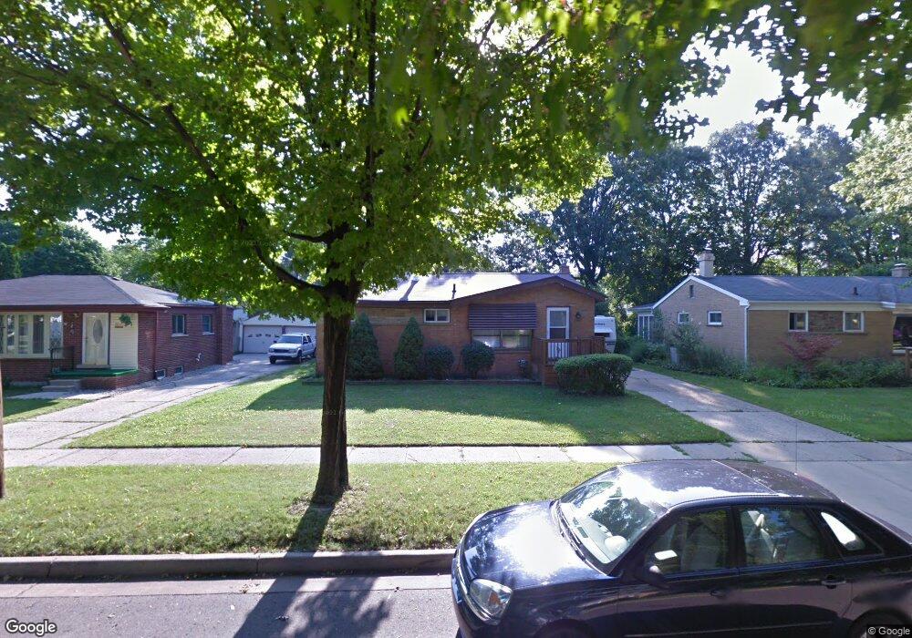
3006 Paul Ave Lansing, MI 48906
Northwestside NeighborhoodEstimated Value: $157,847 - $176,000
--
Bed
1
Bath
1,126
Sq Ft
$145/Sq Ft
Est. Value
About This Home
This home is located at 3006 Paul Ave, Lansing, MI 48906 and is currently estimated at $162,962, approximately $144 per square foot. 3006 Paul Ave is a home located in Ingham County with nearby schools including Cumberland Elementary School, Pattengill Academy, and J.W. Sexton High School.
Ownership History
Date
Name
Owned For
Owner Type
Purchase Details
Closed on
Jan 17, 2013
Sold by
Robinson James R and Robinson Sharleen M
Bought by
Robinson James R
Current Estimated Value
Home Financials for this Owner
Home Financials are based on the most recent Mortgage that was taken out on this home.
Original Mortgage
$92,859
Outstanding Balance
$64,353
Interest Rate
3.3%
Mortgage Type
New Conventional
Estimated Equity
$98,609
Purchase Details
Closed on
Jan 7, 2003
Sold by
Karkau Paul G
Bought by
Robinson James R and Robinson Sharleen M
Home Financials for this Owner
Home Financials are based on the most recent Mortgage that was taken out on this home.
Original Mortgage
$101,987
Interest Rate
6.25%
Mortgage Type
Purchase Money Mortgage
Purchase Details
Closed on
Apr 1, 1992
Create a Home Valuation Report for This Property
The Home Valuation Report is an in-depth analysis detailing your home's value as well as a comparison with similar homes in the area
Home Values in the Area
Average Home Value in this Area
Purchase History
| Date | Buyer | Sale Price | Title Company |
|---|---|---|---|
| Robinson James R | -- | None Available | |
| Robinson James R | $99,500 | Trans | |
| -- | $58,500 | -- |
Source: Public Records
Mortgage History
| Date | Status | Borrower | Loan Amount |
|---|---|---|---|
| Open | Robinson James R | $92,859 | |
| Previous Owner | Robinson James R | $101,987 |
Source: Public Records
Tax History Compared to Growth
Tax History
| Year | Tax Paid | Tax Assessment Tax Assessment Total Assessment is a certain percentage of the fair market value that is determined by local assessors to be the total taxable value of land and additions on the property. | Land | Improvement |
|---|---|---|---|---|
| 2025 | $3,036 | $70,200 | $12,100 | $58,100 |
| 2024 | $24 | $64,300 | $12,100 | $52,200 |
| 2023 | $2,847 | $61,100 | $12,100 | $49,000 |
| 2022 | $2,566 | $57,600 | $11,300 | $46,300 |
| 2021 | $2,513 | $52,200 | $8,000 | $44,200 |
| 2020 | $2,498 | $49,000 | $8,000 | $41,000 |
| 2019 | $2,394 | $44,000 | $8,000 | $36,000 |
| 2018 | $2,244 | $42,400 | $8,000 | $34,400 |
| 2017 | $2,148 | $42,400 | $8,000 | $34,400 |
| 2016 | $2,054 | $40,000 | $8,000 | $32,000 |
| 2015 | $2,054 | $37,600 | $16,086 | $21,514 |
| 2014 | $2,054 | $36,400 | $17,373 | $19,027 |
Source: Public Records
Map
Nearby Homes
- 4005 N Grand River Ave
- 3314 Sunnylane
- 2801 Delta St
- 3116 Colchester Rd
- 3016 Westmont Ave
- 2400 Leon Ave
- 2220 Delta River Dr
- 2400 Beacon Hill Dr
- 2316 Barstow Rd
- 3515 Wilson Ave
- 2515 Kuerbitz Dr
- 2524 Newport Dr
- 3319 Westmont Ave
- 2224 Pembroke Rd
- 2111 Delta River Dr
- 3031 Amherst Dr
- 3709 Pino Dr
- 2722 Tecumseh River Rd
- 3500 Colchester Rd
- 5250 N Grand River Ave