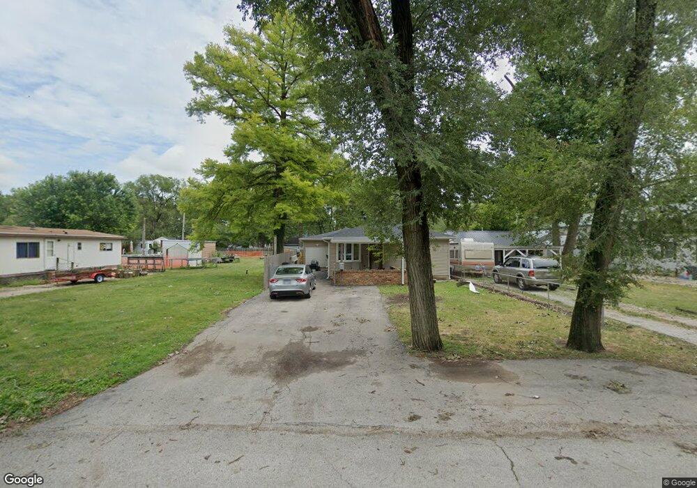
3008 S 12th St Unit 1 Springfield, IL 62703
Estimated Value: $76,000 - $117,000
Studio
--
Bath
--
Sq Ft
6,752
Sq Ft Lot
About This Home
This home is located at 3008 S 12th St Unit 1, Springfield, IL 62703 and is currently estimated at $99,683. 3008 S 12th St Unit 1 is a home located in Sangamon County with nearby schools including Edwin A. Lee Elementary School, Jefferson Middle School, and Springfield Southeast High School.
Ownership History
Date
Name
Owned For
Owner Type
Purchase Details
Closed on
May 31, 2022
Sold by
Skerston Jack A and Skerston Lori A
Bought by
Sirtout Tommy
Current Estimated Value
Home Financials for this Owner
Home Financials are based on the most recent Mortgage that was taken out on this home.
Original Mortgage
$48,925
Outstanding Balance
$46,740
Interest Rate
5.75%
Mortgage Type
New Conventional
Estimated Equity
$52,943
Purchase Details
Closed on
Feb 16, 2012
Purchase Details
Closed on
Feb 13, 2012
Purchase Details
Closed on
Sep 23, 2011
Create a Home Valuation Report for This Property
The Home Valuation Report is an in-depth analysis detailing your home's value as well as a comparison with similar homes in the area
Purchase History
| Date | Buyer | Sale Price | Title Company |
|---|---|---|---|
| Sirtout Tommy | $51,500 | Barber Segatto Hoffee Wilke & | |
| -- | $52,000 | -- | |
| -- | -- | -- | |
| -- | $27,000 | -- |
Source: Public Records
Mortgage History
| Date | Status | Borrower | Loan Amount |
|---|---|---|---|
| Open | Sirtout Tommy | $48,925 |
Source: Public Records
Tax History
| Year | Tax Paid | Tax Assessment Tax Assessment Total Assessment is a certain percentage of the fair market value that is determined by local assessors to be the total taxable value of land and additions on the property. | Land | Improvement |
|---|---|---|---|---|
| 2024 | $1,742 | $27,623 | $6,747 | $20,876 |
| 2023 | $1,670 | $25,577 | $6,247 | $19,330 |
| 2022 | $1,575 | $24,205 | $5,912 | $18,293 |
| 2021 | $2,028 | $23,256 | $5,680 | $17,576 |
| 2020 | $1,956 | $23,003 | $5,618 | $17,385 |
| 2019 | $1,886 | $22,601 | $5,520 | $17,081 |
| 2018 | $1,927 | $23,812 | $5,496 | $18,316 |
| 2017 | $1,881 | $23,447 | $5,412 | $18,035 |
| 2016 | $1,823 | $22,841 | $5,272 | $17,569 |
| 2015 | $1,789 | $22,325 | $5,153 | $17,172 |
| 2014 | $1,758 | $22,139 | $5,110 | $17,029 |
| 2013 | $1,268 | $22,376 | $5,165 | $17,211 |
Source: Public Records
Map
Nearby Homes
- 2942 S 11th St
- 1527 Chalmers St Unit 1
- 17 Celeste Ct
- 2941 Hoover Ave
- 3001 Hoover Ave
- 2800 S Woodward St
- 3305 Saint Francis Dr
- 2856 S Hoover Ave Unit 1
- 817 E Stanford Ave
- 3100 S 5th St Unit 1
- 3300 Stanton St Unit 1
- 3236 S 5th St Unit 1
- 2623 S 7th St
- 2516 S 10th St
- 2517 S 10th St
- 3100 Butler St Unit 1833
- 3022 S 3rd St Unit 1
- 1318 E Lenox Ave
- 2800 Via Rosso St Unit 146
- 2800 Via Rosso St Unit 147
- 3010 S 12th St Unit 1
- 3014 S 12th St
- 3004 S 12th St
- 1220 Bruce St
- 3018 S 12th St
- 3013 S 13th St Unit 1
- 3007 S 12th St
- 3011 S 12th St
- 3005 S 12th St Unit 1
- 1236 Bruce St
- 3013 S 12th St
- 3003 S 12th St Unit 1
- 3025 S 13th St Unit 1
- 3015 S 12th St
- 3028 S 12th St
- 3009 S 12th St
- 3027 S 13th St
- 3001 S 12th St
- 2950 S 12th St Unit 1
- 1240 Bruce St Unit 1
Your Personal Tour Guide
Ask me questions while you tour the home.