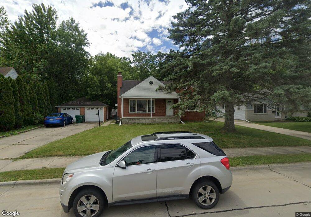
30085 Bock St Unit Bldg-Unit Garden City, MI 48135
Estimated Value: $240,000 - $318,000
--
Bed
2
Baths
1,267
Sq Ft
$213/Sq Ft
Est. Value
About This Home
This home is located at 30085 Bock St Unit Bldg-Unit, Garden City, MI 48135 and is currently estimated at $269,959, approximately $213 per square foot. 30085 Bock St Unit Bldg-Unit is a home located in Wayne County with nearby schools including Memorial Elementary 1-2 Campus, Douglas Elementary 3-4 Campus, and Farmington 5-6 Campus.
Ownership History
Date
Name
Owned For
Owner Type
Purchase Details
Closed on
Mar 1, 2018
Sold by
Sewak Doris
Bought by
Morgan Michael J
Current Estimated Value
Home Financials for this Owner
Home Financials are based on the most recent Mortgage that was taken out on this home.
Original Mortgage
$140,650
Outstanding Balance
$119,862
Interest Rate
4.15%
Mortgage Type
New Conventional
Estimated Equity
$150,097
Purchase Details
Closed on
Jan 29, 2007
Sold by
Watson Michael Craig and Watson Kathy Sue
Bought by
Sewak Doris
Purchase Details
Closed on
Oct 26, 2006
Sold by
Watson Curtis G
Bought by
Watson Curtis G
Create a Home Valuation Report for This Property
The Home Valuation Report is an in-depth analysis detailing your home's value as well as a comparison with similar homes in the area
Home Values in the Area
Average Home Value in this Area
Purchase History
| Date | Buyer | Sale Price | Title Company |
|---|---|---|---|
| Morgan Michael J | $145,000 | Estates Title Agency | |
| Sewak Doris | -- | Title One Inc | |
| Watson Curtis G | -- | None Available |
Source: Public Records
Mortgage History
| Date | Status | Borrower | Loan Amount |
|---|---|---|---|
| Open | Morgan Michael J | $140,650 |
Source: Public Records
Tax History Compared to Growth
Tax History
| Year | Tax Paid | Tax Assessment Tax Assessment Total Assessment is a certain percentage of the fair market value that is determined by local assessors to be the total taxable value of land and additions on the property. | Land | Improvement |
|---|---|---|---|---|
| 2025 | $3,912 | $116,400 | $0 | $0 |
| 2024 | $3,912 | $106,700 | $0 | $0 |
| 2023 | $3,751 | $95,100 | $0 | $0 |
| 2022 | $4,192 | $80,400 | $0 | $0 |
| 2021 | $4,099 | $75,100 | $0 | $0 |
| 2020 | $4,102 | $70,500 | $0 | $0 |
| 2019 | $3,374 | $65,500 | $0 | $0 |
| 2018 | $2,237 | $56,900 | $0 | $0 |
| 2017 | $1,557 | $54,800 | $0 | $0 |
| 2016 | $3,369 | $52,800 | $0 | $0 |
| 2015 | $4,552 | $50,700 | $0 | $0 |
| 2013 | $4,410 | $44,900 | $0 | $0 |
| 2012 | $3,061 | $47,200 | $15,700 | $31,500 |
Source: Public Records
Map
Nearby Homes
- 1125 Brandt St
- 29699 Brown Ct
- 30803 Pierce St
- 29404 Meadow Ln Unit 1
- 5689 Brandt St
- 30759 Ford Rd
- 30436 Beechwood St
- 157 Middlebelt Rd
- 30808 Sheridan St
- 31004 Barton St
- 29825 Dawson St
- 29825 Dawson Ave
- 524 E Rose Ave
- 577 Brandt St
- 489 Henry Ruff Rd
- 30639 Florence St
- 29487 Florence St
- 31255 Marquette St
- 29159 Sheridan St
- 28914 Hennepin St