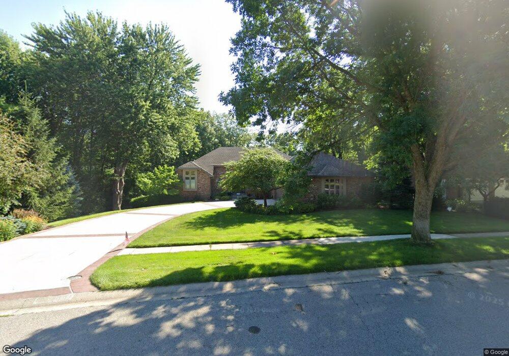
3009 Newport Dr Springfield, IL 62702
Estimated Value: $460,000 - $506,135
4
Beds
3
Baths
3,997
Sq Ft
$119/Sq Ft
Est. Value
About This Home
This home is located at 3009 Newport Dr, Springfield, IL 62702 and is currently estimated at $476,784, approximately $119 per square foot. 3009 Newport Dr is a home located in Sangamon County with nearby schools including Dubois Elementary School, U.S. Grant Middle School, and Springfield High School.
Ownership History
Date
Name
Owned For
Owner Type
Purchase Details
Closed on
Apr 6, 2023
Sold by
Engel Bill
Bought by
Barbara Ann Engel Living Trust
Current Estimated Value
Purchase Details
Closed on
Aug 11, 2008
Purchase Details
Closed on
May 20, 2008
Purchase Details
Closed on
Aug 15, 2005
Purchase Details
Closed on
Sep 30, 2002
Create a Home Valuation Report for This Property
The Home Valuation Report is an in-depth analysis detailing your home's value as well as a comparison with similar homes in the area
Home Values in the Area
Average Home Value in this Area
Purchase History
| Date | Buyer | Sale Price | Title Company |
|---|---|---|---|
| Barbara Ann Engel Living Trust | -- | -- | |
| -- | $335,500 | -- | |
| -- | $338,500 | -- | |
| -- | -- | -- | |
| -- | $251,500 | -- |
Source: Public Records
Tax History Compared to Growth
Tax History
| Year | Tax Paid | Tax Assessment Tax Assessment Total Assessment is a certain percentage of the fair market value that is determined by local assessors to be the total taxable value of land and additions on the property. | Land | Improvement |
|---|---|---|---|---|
| 2024 | $12,904 | $159,627 | $47,121 | $112,506 |
| 2023 | $12,360 | $145,805 | $43,041 | $102,764 |
| 2022 | $11,856 | $138,309 | $40,828 | $97,481 |
| 2021 | $11,443 | $133,130 | $39,299 | $93,831 |
| 2020 | $11,216 | $133,330 | $39,358 | $93,972 |
| 2019 | $11,006 | $132,865 | $39,221 | $93,644 |
| 2018 | $10,258 | $127,403 | $39,030 | $88,373 |
| 2017 | $10,039 | $125,755 | $38,525 | $87,230 |
| 2016 | $9,834 | $123,921 | $37,963 | $85,958 |
| 2015 | $9,733 | $122,439 | $37,509 | $84,930 |
| 2014 | $9,584 | $121,649 | $37,267 | $84,382 |
| 2013 | $9,370 | $121,649 | $37,267 | $84,382 |
Source: Public Records
Map
Nearby Homes
- 804 Fairfax Ct
- 2929 Cider Mill Ln
- 1038 N Koke Mill Rd
- 700 Country Meadows Dr
- 3405 Bluff Rd
- 200 N Durkin Dr
- 832 Independence Ridge
- 10 Royal Rd
- 14 Woodbury Hill Ln
- 3 Woodbury Hill Ln
- 55 Trailridge Ln
- 2553 Chapel Hill Dr
- 160 S Durkin Dr Unit 4
- 3229 W Point Dr
- 2491 W Washington St
- 24 Westwood Terrace Unit 1
- 3116 Victoria Dr
- 313 S Durkin Dr Unit 313
- 308 S Oxford Rd
- 2 Beacon Ridge Dr Unit 1
- 3013 Newport Dr
- 3005 Newport Dr
- 3008 Newport Dr
- 3001 Newport Dr
- 3017 Newport Dr
- 827 Coventry Point
- 3004 Newport Dr
- 831 Coventry Point
- 3012 Newport Dr
- 823 Coventry Point
- 835 Coventry Point
- 819 Coventry Point
- 3000 Newport Dr
- 2916 Newport Dr
- 2912 Newport Dr
- 839 Coventry Point
- 815 Coventry Point
- 2908 Newport Dr
- 801 Coventry Point
- 3021 Newport Dr