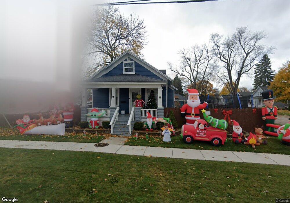
301 13th St Port Huron, MI 48060
Estimated Value: $115,000 - $129,000
3
Beds
1
Bath
922
Sq Ft
$133/Sq Ft
Est. Value
About This Home
This home is located at 301 13th St, Port Huron, MI 48060 and is currently estimated at $122,708, approximately $133 per square foot. 301 13th St is a home located in St. Clair County with nearby schools including Michigamme Elementary School, Holland Woods Middle School, and Port Huron High School.
Ownership History
Date
Name
Owned For
Owner Type
Purchase Details
Closed on
Apr 21, 2022
Sold by
Bodeis Michael L
Bought by
Bodeis Michael L
Current Estimated Value
Purchase Details
Closed on
Feb 2, 2021
Sold by
Bodeis Michael L
Bought by
Chemin David and Knisley-Chemin Amanda
Purchase Details
Closed on
Dec 3, 2010
Sold by
Bodeis Michael L and Bodeis Gaye G
Bought by
Bodeis Michael L
Create a Home Valuation Report for This Property
The Home Valuation Report is an in-depth analysis detailing your home's value as well as a comparison with similar homes in the area
Home Values in the Area
Average Home Value in this Area
Purchase History
| Date | Buyer | Sale Price | Title Company |
|---|---|---|---|
| Bodeis Michael L | -- | Touma Watson Whaling Coury & S | |
| Bodeis Michael L | -- | None Listed On Document | |
| Chemin David | -- | Huron Title | |
| Bodeis Michael L | -- | None Available |
Source: Public Records
Tax History Compared to Growth
Tax History
| Year | Tax Paid | Tax Assessment Tax Assessment Total Assessment is a certain percentage of the fair market value that is determined by local assessors to be the total taxable value of land and additions on the property. | Land | Improvement |
|---|---|---|---|---|
| 2025 | $1,831 | $49,200 | $0 | $0 |
| 2024 | $1,536 | $44,600 | $0 | $0 |
| 2023 | $1,451 | $38,900 | $0 | $0 |
| 2022 | $1,498 | $33,000 | $0 | $0 |
| 2021 | $721 | $23,100 | $0 | $0 |
| 2020 | $1,014 | $21,800 | $21,800 | $0 |
| 2019 | $996 | $15,600 | $0 | $0 |
| 2018 | $974 | $15,600 | $0 | $0 |
| 2017 | $895 | $14,600 | $0 | $0 |
| 2016 | $786 | $14,600 | $0 | $0 |
| 2015 | $829 | $14,800 | $14,800 | $0 |
| 2014 | $829 | $15,400 | $15,400 | $0 |
| 2013 | -- | $15,400 | $0 | $0 |
Source: Public Records
Map
Nearby Homes