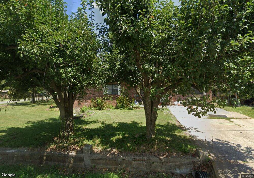
301 4th St Leslie, AR 72645
Estimated Value: $121,000 - $152,082
Studio
2
Baths
1,736
Sq Ft
$80/Sq Ft
Est. Value
About This Home
This home is located at 301 4th St, Leslie, AR 72645 and is currently estimated at $139,021, approximately $80 per square foot. 301 4th St is a home located in Searcy County with nearby schools including Marshall Elementary School, Leslie Elementary School, and Marshall High School.
Ownership History
Date
Name
Owned For
Owner Type
Purchase Details
Closed on
Mar 17, 2025
Sold by
Lewis Amethyst and Lewis Jacob
Bought by
Lewis Jacob
Current Estimated Value
Purchase Details
Closed on
Jun 8, 2006
Sold by
Rhoades Clarence C and Rhoades Bettie H
Bought by
Lewis Franklin L
Home Financials for this Owner
Home Financials are based on the most recent Mortgage that was taken out on this home.
Original Mortgage
$49,500
Interest Rate
6.56%
Mortgage Type
Purchase Money Mortgage
Purchase Details
Closed on
Apr 27, 2001
Bought by
Rhoades Clarence C and Rhoades Bettie H
Purchase Details
Closed on
Apr 24, 2001
Bought by
Pollack Patsy A and Pollack Lennis E
Purchase Details
Closed on
Aug 10, 2000
Bought by
Pollack Patricia
Create a Home Valuation Report for This Property
The Home Valuation Report is an in-depth analysis detailing your home's value as well as a comparison with similar homes in the area
Purchase History
| Date | Buyer | Sale Price | Title Company |
|---|---|---|---|
| Lewis Jacob | -- | None Listed On Document | |
| Lewis Jacob | -- | None Listed On Document | |
| Lewis Franklin L | $55,000 | -- | |
| Rhoades Clarence C | $48,000 | -- | |
| Pollack Patsy A | -- | -- | |
| Pollack Patricia | -- | -- |
Source: Public Records
Mortgage History
| Date | Status | Borrower | Loan Amount |
|---|---|---|---|
| Previous Owner | Lewis Franklin L | $49,500 |
Source: Public Records
Tax History
| Year | Tax Paid | Tax Assessment Tax Assessment Total Assessment is a certain percentage of the fair market value that is determined by local assessors to be the total taxable value of land and additions on the property. | Land | Improvement |
|---|---|---|---|---|
| 2025 | $951 | $19,190 | $1,200 | $17,990 |
| 2024 | $951 | $19,190 | $1,200 | $17,990 |
| 2023 | $915 | $19,190 | $1,200 | $17,990 |
| 2022 | $915 | $19,190 | $1,200 | $17,990 |
| 2021 | $832 | $16,790 | $1,200 | $15,590 |
| 2020 | $828 | $16,790 | $1,200 | $15,590 |
| 2019 | $842 | $16,790 | $1,200 | $15,590 |
| 2018 | $838 | $16,790 | $1,200 | $15,590 |
| 2017 | $752 | $13,930 | $1,200 | $12,730 |
| 2016 | $668 | $13,930 | $1,200 | $12,730 |
| 2014 | $615 | $13,930 | $1,200 | $12,730 |
Source: Public Records
Map
Nearby Homes
- 405 Oak St
- 211 Oak St
- 813 Main St
- 418 Willson LN Wilson Ln
- 00 Daniel Hill Rd
- 7897 Trace Ridge Rd
- 000 Daniel Hill Rd
- 0 Liberty Rd Unit 1296842
- 396 August Farm Rd
- 1645 Prism Dr
- 1041 Campbell Rd
- 878 Harry Brown Rd
- 935 Standing Alone Rd
- 1169 Liberty Rd
- 00 Brooklyn Ln
- 305 Deer Run Rd
- 952 Wildwood Ln
- 2085 Quicksilver Rd
- 2040 S Mountain Rd
- 4473 Rumley Rd
Your Personal Tour Guide
Ask me questions while you tour the home.