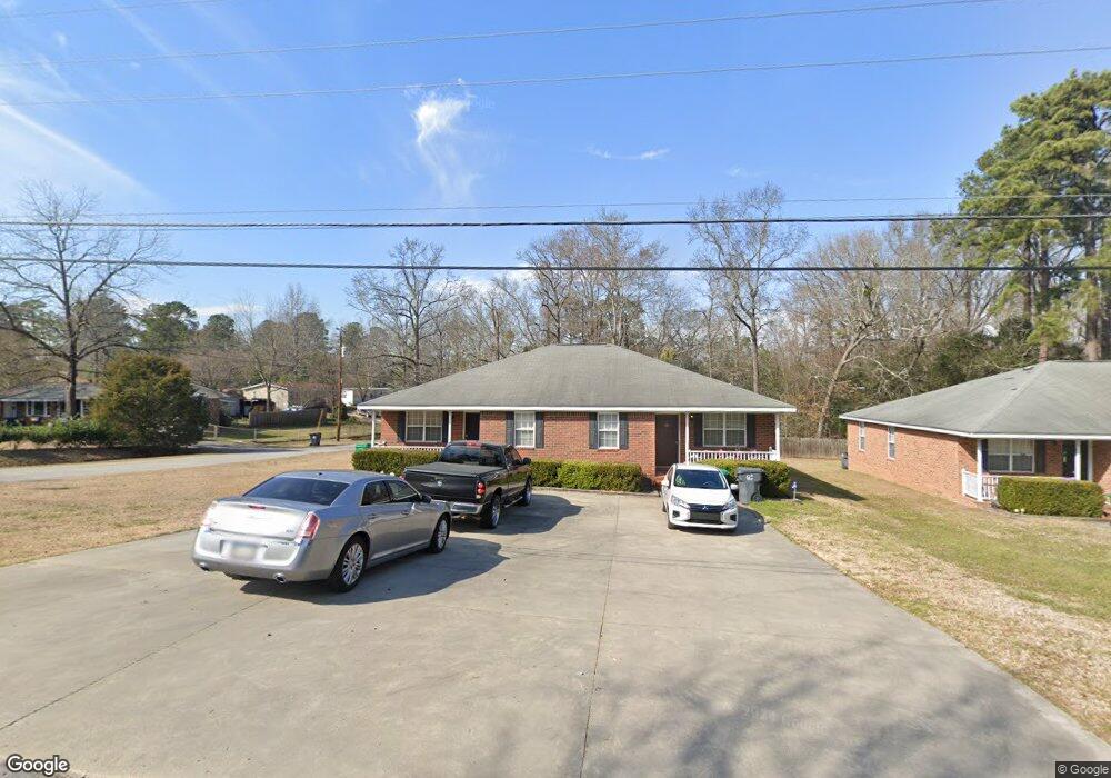
301 6th Ave Grovetown, GA 30813
Estimated Value: $186,762 - $235,000
4
Beds
2
Baths
1,944
Sq Ft
$108/Sq Ft
Est. Value
About This Home
This home is located at 301 6th Ave, Grovetown, GA 30813 and is currently estimated at $210,881, approximately $108 per square foot. 301 6th Ave is a home located in Columbia County with nearby schools including Grovetown Elementary School, Grovetown Middle School, and Grovetown High School.
Ownership History
Date
Name
Owned For
Owner Type
Purchase Details
Closed on
Mar 22, 2019
Sold by
Momen Taslima S
Bought by
Zooma Llc
Current Estimated Value
Purchase Details
Closed on
Aug 1, 2017
Sold by
Wilson Clayton L
Bought by
Momen Taslima S
Home Financials for this Owner
Home Financials are based on the most recent Mortgage that was taken out on this home.
Original Mortgage
$85,000
Interest Rate
3.96%
Mortgage Type
New Conventional
Purchase Details
Closed on
Nov 9, 2000
Sold by
Wilson Howell L
Bought by
Wilson Clayton L and Wilson Dana M
Create a Home Valuation Report for This Property
The Home Valuation Report is an in-depth analysis detailing your home's value as well as a comparison with similar homes in the area
Home Values in the Area
Average Home Value in this Area
Purchase History
| Date | Buyer | Sale Price | Title Company |
|---|---|---|---|
| Zooma Llc | -- | -- | |
| Momen Taslima S | $113,333 | -- | |
| Wilson Clayton L | -- | -- |
Source: Public Records
Mortgage History
| Date | Status | Borrower | Loan Amount |
|---|---|---|---|
| Previous Owner | Momen Taslima S | $85,000 |
Source: Public Records
Tax History Compared to Growth
Tax History
| Year | Tax Paid | Tax Assessment Tax Assessment Total Assessment is a certain percentage of the fair market value that is determined by local assessors to be the total taxable value of land and additions on the property. | Land | Improvement |
|---|---|---|---|---|
| 2025 | $1,545 | $55,170 | $16,104 | $39,066 |
| 2024 | $1,627 | $55,162 | $13,904 | $41,258 |
| 2023 | $1,627 | $44,852 | $9,804 | $35,048 |
| 2022 | $1,381 | $44,852 | $9,804 | $35,048 |
| 2021 | $1,443 | $44,852 | $9,804 | $35,048 |
| 2020 | $1,470 | $0 | $0 | $0 |
| 2019 | $1,425 | $43,089 | $0 | $0 |
| 2018 | $1,446 | $43,089 | $0 | $0 |
| 2017 | $1,208 | $0 | $0 | $0 |
| 2016 | $1,118 | $0 | $0 | $0 |
| 2015 | $1,146 | $0 | $0 | $0 |
| 2014 | $1,153 | $0 | $0 | $0 |
Source: Public Records
Map
Nearby Homes
- 100 Walton Dr
- 116 Bennett St
- 141/137 Lewiston Rd
- 102 Walton Dr
- 104 Bennett St
- 106 Bennett St
- 118 Bennett St
- 406 Williams St
- 106 Walton Dr
- 201 Williams St
- 705 Cottonwood Ct
- 211 Whiskey Rd
- 213 Whiskey Rd
- 939 N Willowick Dr
- 218 Harvestwood Dr
- 4917 Cavan Place
- 425 Whiskey Rd
- 303 Hazelnut Dr
- 100 Buck Ave
- 3508 Patron Dr
- 303 6th Ave
- 203 6th Ave
- 512 Williams St
- 302 6th Ave
- 601 Williams St
- 510 1/2 Williams St Unit A & B
- 513 Williams St
- 304 6th Ave
- 510 Williams St Unit A & B
- 510 Dorn St
- 511 Williams St
- 101 George St
- 308 6th Ave
- 508 Williams St
- 508 Dorn St
- 601 Dorn St
- 603 Dorn St
- 105 George St
- 507 Williams St
- 605 Dorn St