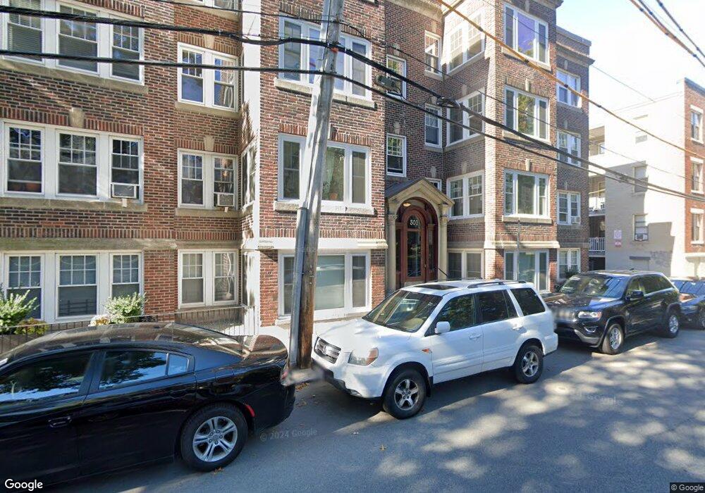
301 Allston St Unit 5 Brighton, MA 02135
Commonwealth NeighborhoodEstimated Value: $343,000 - $388,000
1
Bed
1
Bath
516
Sq Ft
$707/Sq Ft
Est. Value
About This Home
This home is located at 301 Allston St Unit 5, Brighton, MA 02135 and is currently estimated at $364,716, approximately $706 per square foot. 301 Allston St Unit 5 is a home located in Suffolk County with nearby schools including Edward M. Kennedy Academy for Health Careers.
Ownership History
Date
Name
Owned For
Owner Type
Purchase Details
Closed on
Jul 2, 2007
Sold by
Dreyfus Boris and Dreyfus Olga
Bought by
Kimokoti Ruth
Current Estimated Value
Home Financials for this Owner
Home Financials are based on the most recent Mortgage that was taken out on this home.
Original Mortgage
$140,250
Outstanding Balance
$86,463
Interest Rate
6.24%
Mortgage Type
Purchase Money Mortgage
Estimated Equity
$278,253
Create a Home Valuation Report for This Property
The Home Valuation Report is an in-depth analysis detailing your home's value as well as a comparison with similar homes in the area
Home Values in the Area
Average Home Value in this Area
Purchase History
| Date | Buyer | Sale Price | Title Company |
|---|---|---|---|
| Kimokoti Ruth | $187,000 | -- | |
| Kimokoti Ruth | $187,000 | -- |
Source: Public Records
Mortgage History
| Date | Status | Borrower | Loan Amount |
|---|---|---|---|
| Open | Kimokoti Ruth | $140,250 | |
| Closed | Kimokoti Ruth | $140,250 |
Source: Public Records
Tax History Compared to Growth
Tax History
| Year | Tax Paid | Tax Assessment Tax Assessment Total Assessment is a certain percentage of the fair market value that is determined by local assessors to be the total taxable value of land and additions on the property. | Land | Improvement |
|---|---|---|---|---|
| 2025 | $3,370 | $291,000 | $0 | $291,000 |
| 2024 | $3,507 | $321,700 | $0 | $321,700 |
| 2023 | $3,455 | $321,700 | $0 | $321,700 |
| 2022 | $3,302 | $303,500 | $0 | $303,500 |
| 2021 | $3,211 | $300,900 | $0 | $300,900 |
| 2020 | $2,724 | $258,000 | $0 | $258,000 |
| 2019 | $2,667 | $253,000 | $0 | $253,000 |
| 2018 | $2,479 | $236,500 | $0 | $236,500 |
| 2017 | $2,319 | $219,000 | $0 | $219,000 |
| 2016 | $2,211 | $201,000 | $0 | $201,000 |
| 2015 | $2,280 | $188,300 | $0 | $188,300 |
| 2014 | $2,259 | $179,600 | $0 | $179,600 |
Source: Public Records
Map
Nearby Homes
- 1564 Commonwealth Ave Unit 3
- 190 Corey Rd Unit 5
- 1515 Commonwealth Ave Unit 405
- 1515 Commonwealth Ave Unit 303
- 1515 Commonwealth Ave Unit 311
- 1515 Commonwealth Ave Unit 514
- 2 Bed + Den 2 Bath Plan at 1515 Comm Ave
- 2 Bed 2 Bath Plan at 1515 Comm Ave
- 3 Bed 2 Bath Plan at 1515 Comm Ave
- 1515 Commonwealth Ave Unit 806
- 1 BED + DEN Plan at 1515 Comm Ave
- JR. 1 BED 1 BATH Plan at 1515 Comm Ave
- 1 BED 1 BATH Plan at 1515 Comm Ave
- 1515 Commonwealth Ave Unit 615
- 1515 Commonwealth Ave Unit 706
- 15 Commonwealth Ct Unit 10
- 1607 Commonwealth Ave Unit 14
- 198 Allston St Unit 3
- 45 Bartlett Crescent Unit 402
- 45 Bartlett Crescent Unit 404
- 301 Allston St Unit 15
- 301 Allston St Unit 14
- 301 Allston St Unit 11
- 301 Allston St Unit 9
- 301 Allston St Unit 6
- 301 Allston St Unit 3
- 301 Allston St Unit 2
- 301 Allston St Unit 4
- 301 Allston St Unit 12
- 301 Allston St Unit 10
- 301 Allston St Unit B
- 301 Allston St Unit 1
- 301 Allston St Unit 8
- 301 Allston St Unit 301
- 301 Allston St
- 301 Allston St Unit 9A
- 301 Allston St
- 301 Allston St Unit 8, 301
- 301 Allston St Unit 6, 301
- 18 Melvin Ave Unit 11