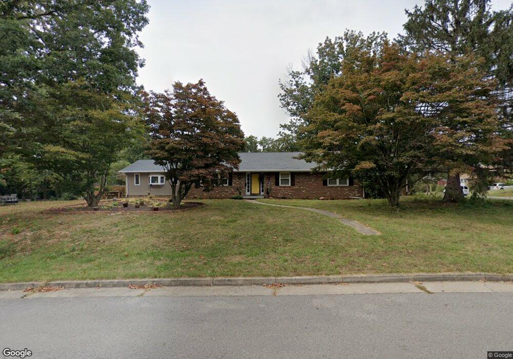
301 Bader Ave Waynesboro, VA 22980
Estimated Value: $406,176 - $495,000
3
Beds
3
Baths
2,647
Sq Ft
$166/Sq Ft
Est. Value
About This Home
This home is located at 301 Bader Ave, Waynesboro, VA 22980 and is currently estimated at $440,044, approximately $166 per square foot. 301 Bader Ave is a home located in Waynesboro City with nearby schools including Westwood Hills Elementary School, Kate Collins Middle School, and Waynesboro High School.
Ownership History
Date
Name
Owned For
Owner Type
Purchase Details
Closed on
May 14, 2015
Sold by
Galumbeck Dennis R
Bought by
Craft Kristin H
Current Estimated Value
Home Financials for this Owner
Home Financials are based on the most recent Mortgage that was taken out on this home.
Original Mortgage
$201,286
Outstanding Balance
$154,725
Interest Rate
3.62%
Mortgage Type
FHA
Estimated Equity
$285,319
Create a Home Valuation Report for This Property
The Home Valuation Report is an in-depth analysis detailing your home's value as well as a comparison with similar homes in the area
Home Values in the Area
Average Home Value in this Area
Purchase History
| Date | Buyer | Sale Price | Title Company |
|---|---|---|---|
| Craft Kristin H | $205,000 | -- |
Source: Public Records
Mortgage History
| Date | Status | Borrower | Loan Amount |
|---|---|---|---|
| Open | Craft Kristin H | $201,286 |
Source: Public Records
Tax History Compared to Growth
Tax History
| Year | Tax Paid | Tax Assessment Tax Assessment Total Assessment is a certain percentage of the fair market value that is determined by local assessors to be the total taxable value of land and additions on the property. | Land | Improvement |
|---|---|---|---|---|
| 2025 | $3,171 | $386,700 | $57,500 | $329,200 |
| 2024 | $2,591 | $336,500 | $55,000 | $281,500 |
| 2023 | $2,591 | $336,500 | $55,000 | $281,500 |
| 2022 | $2,255 | $250,600 | $50,000 | $200,600 |
| 2021 | $2,255 | $250,600 | $50,000 | $200,600 |
| 2020 | $2,045 | $227,200 | $50,000 | $177,200 |
| 2019 | $2,045 | $227,200 | $50,000 | $177,200 |
| 2018 | $1,830 | $203,300 | $50,000 | $153,300 |
| 2017 | $1,769 | $203,300 | $50,000 | $153,300 |
| 2016 | $1,618 | $202,200 | $50,000 | $152,200 |
| 2015 | $1,618 | $202,200 | $50,000 | $152,200 |
| 2014 | -- | $207,900 | $50,000 | $157,900 |
| 2013 | -- | $0 | $0 | $0 |
Source: Public Records
Map
Nearby Homes
- 656 Edwardian Ln
- 636 Rosser Ave
- 2224 Mount Vernon St
- 407 Crompton Rd
- 1073 Pendleton Dr
- PENWELL Plan at Kira Heights
- SALEM Plan at Kira Heights
- NEUVILLE Plan at Kira Heights
- 2418 Mount Vernon St
- 1637 Mulberry St
- 2500 Forest Dr
- 529 S Linden Ave
- 2509 Belvue Rd Unit 18
- 2509 Belvue Rd
- 2524 Belvue Rd
- 812 Meadowbrook Rd
- 1905 Monroe St
- 373 S Magnolia Ave
- 1305 13th St
- 233 Camden Dr
- 2008 Mount Vernon St
- 2016 Mount Vernon St
- 2001 Cherokee Rd
- 2001 Mount Vernon St
- 2011 Mount Vernon St
- 0 Mt Vernon St Unit 538486
- 2009 Cherokee Rd
- 2017 Mount Vernon St
- 1941 Mount Vernon St
- 1941 Cherokee Rd
- 2023 Mount Vernon St
- 1935 Mount Vernon St
- 2024 Mount Vernon St
- 2017 Cherokee Rd
- 1929 Mount Vernon St
- 2000 Monticello St
- 2006 Monticello St
- 1933 Cherokee Rd
- 2025 Cherokee Rd
- 1940 Monticello St