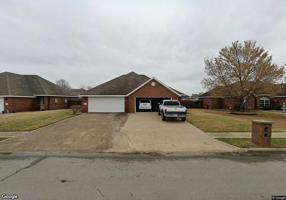
301 Blunt Ave Prairie Grove, AR 72753
Estimated Value: $343,000 - $504,000
--
Bed
4
Baths
2,867
Sq Ft
$145/Sq Ft
Est. Value
About This Home
This home is located at 301 Blunt Ave, Prairie Grove, AR 72753 and is currently estimated at $414,970, approximately $144 per square foot. 301 Blunt Ave is a home with nearby schools including Prairie Grove Elementary School, Prairie Grove Middle School, and Prairie Grove Junior High School.
Ownership History
Date
Name
Owned For
Owner Type
Purchase Details
Closed on
Dec 26, 2024
Sold by
Schuber Mitchell Homes Llc
Bought by
Casebolt Tyler and Casebolt Jamie
Current Estimated Value
Purchase Details
Closed on
Jan 21, 2008
Sold by
Cox Darren K and Cox Carla J
Bought by
Cox Property Management Llc
Purchase Details
Closed on
Mar 10, 2006
Sold by
Cox Darren K and Cox Carla J
Bought by
Cox Development Llc
Create a Home Valuation Report for This Property
The Home Valuation Report is an in-depth analysis detailing your home's value as well as a comparison with similar homes in the area
Home Values in the Area
Average Home Value in this Area
Purchase History
| Date | Buyer | Sale Price | Title Company |
|---|---|---|---|
| Casebolt Tyler | $329,785 | Allegiance Title | |
| Casebolt Tyler | $329,785 | Allegiance Title | |
| Cox Property Management Llc | -- | Heritage Land Title Of Ar | |
| Cox Development Llc | -- | Heritage Land Title Of Ar |
Source: Public Records
Tax History Compared to Growth
Tax History
| Year | Tax Paid | Tax Assessment Tax Assessment Total Assessment is a certain percentage of the fair market value that is determined by local assessors to be the total taxable value of land and additions on the property. | Land | Improvement |
|---|---|---|---|---|
| 2025 | $2,910 | $70,450 | $8,000 | $62,450 |
| 2024 | $2,728 | $70,450 | $8,000 | $62,450 |
| 2023 | $2,597 | $70,450 | $8,000 | $62,450 |
| 2022 | $2,361 | $44,510 | $6,000 | $38,510 |
| 2021 | $2,179 | $44,510 | $6,000 | $38,510 |
| 2020 | $1,990 | $44,510 | $6,000 | $38,510 |
| 2019 | $1,829 | $33,630 | $4,000 | $29,630 |
| 2018 | $1,829 | $33,630 | $4,000 | $29,630 |
| 2017 | $1,813 | $33,630 | $4,000 | $29,630 |
| 2016 | $1,813 | $33,630 | $4,000 | $29,630 |
| 2015 | $1,813 | $33,630 | $4,000 | $29,630 |
| 2014 | $1,687 | $31,290 | $3,960 | $27,330 |
Source: Public Records
Map
Nearby Homes
- 806 Grant Ave
- 703 Grant Ave
- 110 Cypress St
- 813 Grant Ave
- 818 Grant Ave
- 816 Custer St
- 815 Custer St
- 807 Sedgwick Dr
- 301 Hindman Dr
- 0 S Industrial Park Rd
- 661 Summer Ln
- 601 Pennington Ave
- 950 Snyder Grove Dr
- 111 W Cleveland St
- 311 S Mock St
- Lot 2 Holmes St
- 4.66 +/- AC Tract 5 Hwy 62 & S Mock St
- 201 E Cleveland St
- 5.56+/- AC Tract 2 Hwy 62 & S Mock St
- 16453 Stonewall Rd