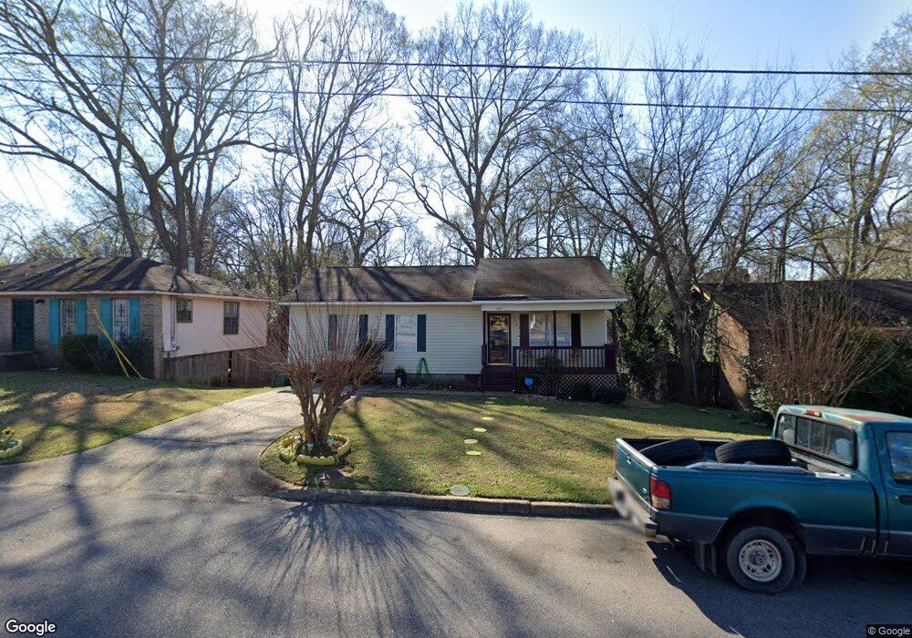
301 Briarbrook Dr Montgomery, AL 36110
North Montgomery NeighborhoodEstimated Value: $49,000 - $73,000
3
Beds
2
Baths
1,134
Sq Ft
$56/Sq Ft
Est. Value
About This Home
This home is located at 301 Briarbrook Dr, Montgomery, AL 36110 and is currently estimated at $64,039, approximately $56 per square foot. 301 Briarbrook Dr is a home located in Montgomery County with nearby schools including Chisholm Elementary School, Capitol Heights Middle School, and Dr. Percy L. Julian High School.
Ownership History
Date
Name
Owned For
Owner Type
Purchase Details
Closed on
May 21, 2001
Sold by
Montgomery Habitat For Humanity Inc
Bought by
Richardson Romanda
Current Estimated Value
Home Financials for this Owner
Home Financials are based on the most recent Mortgage that was taken out on this home.
Original Mortgage
$41,397
Interest Rate
7.11%
Mortgage Type
Seller Take Back
Create a Home Valuation Report for This Property
The Home Valuation Report is an in-depth analysis detailing your home's value as well as a comparison with similar homes in the area
Home Values in the Area
Average Home Value in this Area
Purchase History
| Date | Buyer | Sale Price | Title Company |
|---|---|---|---|
| Richardson Romanda | -- | -- |
Source: Public Records
Mortgage History
| Date | Status | Borrower | Loan Amount |
|---|---|---|---|
| Closed | Richardson Romanda | $41,397 | |
| Closed | Richardson Romanda | $15,000 |
Source: Public Records
Tax History Compared to Growth
Tax History
| Year | Tax Paid | Tax Assessment Tax Assessment Total Assessment is a certain percentage of the fair market value that is determined by local assessors to be the total taxable value of land and additions on the property. | Land | Improvement |
|---|---|---|---|---|
| 2025 | -- | $7,940 | $600 | $7,340 |
| 2024 | -- | $7,370 | $600 | $6,770 |
| 2023 | $0 | $6,330 | $600 | $5,730 |
| 2022 | $0 | $6,330 | $600 | $5,730 |
| 2021 | $0 | $3,860 | $0 | $0 |
| 2020 | $101 | $7,720 | $1,200 | $6,520 |
| 2019 | $101 | $7,720 | $1,200 | $6,520 |
| 2018 | $142 | $3,880 | $0 | $0 |
| 2017 | $101 | $7,700 | $1,200 | $6,500 |
| 2014 | $160 | $5,490 | $600 | $4,890 |
| 2013 | -- | $6,370 | $600 | $5,770 |
Source: Public Records
Map
Nearby Homes
- 142 W Michigan Ave
- 141 W Michigan Ave
- 59 Michigan Ave
- 2035 Jackson Ferry Rd
- 55 Michigan Ave
- 412 Edward St
- 39 Cox Ln
- 35 Cox Ln
- 428 Conrad St
- 2925 Lower Wetumpka Rd
- 544 Conrad St
- 548 Conrad St
- 114 Rotary St
- 5 Johnson Ave
- 12 Pine St
- 15 Broadway St
- 7 Johnson Ave
- 101 Brockway Dr
- 311 3rd St
- 1641 N Yarbrough Ct
- 229 Briarbrook Dr
- 305 Briarbrook Dr
- 225 Briarbrook Dr
- 309 Briarbrook Dr
- 221 Briarbrook Dr
- 262 Flair Dr
- 313 Briarbrook Dr
- 261 Flair Dr
- 304 Briarbrook Dr
- 217 Briarbrook Dr
- 308 Briarbrook Dr
- 224 Briarbrook Dr
- 317 Briarbrook Dr
- 253 Flair Dr
- 220 Briarbrook Dr
- 258 Flair Dr
- 213 Briarbrook Dr
- 401 Briarbrook Ct
- 321 Briarbrook Dr
- 312 Briarbrook Dr