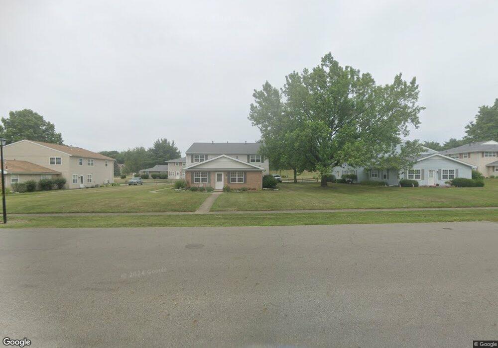
301 Brookfield St Louisville, OH 44641
Estimated Value: $91,832 - $260,000
2
Beds
1
Bath
882
Sq Ft
$211/Sq Ft
Est. Value
About This Home
This home is located at 301 Brookfield St, Louisville, OH 44641 and is currently estimated at $185,708, approximately $210 per square foot. 301 Brookfield St is a home located in Stark County with nearby schools including Louisville High School and St. Thomas Aquinas High School & Middle School.
Ownership History
Date
Name
Owned For
Owner Type
Purchase Details
Closed on
Jul 16, 2019
Sold by
Geitgey Donald W and Geitgey Sue Ann
Bought by
Geitgey Donald W and Geitgey Sue Ann
Current Estimated Value
Purchase Details
Closed on
May 3, 1996
Sold by
Tri State Realty Co
Bought by
Geitgey Donald W and Geitgey Sue A
Home Financials for this Owner
Home Financials are based on the most recent Mortgage that was taken out on this home.
Original Mortgage
$1,105,200
Outstanding Balance
$62,169
Interest Rate
7.86%
Mortgage Type
New Conventional
Estimated Equity
$123,539
Create a Home Valuation Report for This Property
The Home Valuation Report is an in-depth analysis detailing your home's value as well as a comparison with similar homes in the area
Home Values in the Area
Average Home Value in this Area
Purchase History
| Date | Buyer | Sale Price | Title Company |
|---|---|---|---|
| Geitgey Donald W | -- | None Available | |
| Geitgey Donald W | $917,500 | -- |
Source: Public Records
Mortgage History
| Date | Status | Borrower | Loan Amount |
|---|---|---|---|
| Open | Geitgey Donald W | $1,105,200 |
Source: Public Records
Tax History Compared to Growth
Tax History
| Year | Tax Paid | Tax Assessment Tax Assessment Total Assessment is a certain percentage of the fair market value that is determined by local assessors to be the total taxable value of land and additions on the property. | Land | Improvement |
|---|---|---|---|---|
| 2025 | -- | $17,090 | $1,720 | $15,370 |
| 2024 | -- | $17,090 | $1,720 | $15,370 |
| 2023 | $433 | $9,800 | $2,030 | $7,770 |
| 2022 | $437 | $9,800 | $2,030 | $7,770 |
| 2021 | $157 | $9,800 | $2,030 | $7,770 |
| 2020 | $179 | $8,820 | $1,820 | $7,000 |
| 2019 | $194 | $8,820 | $1,820 | $7,000 |
| 2018 | $366 | $8,820 | $1,820 | $7,000 |
| 2017 | $379 | $8,820 | $1,820 | $7,000 |
| 2016 | $387 | $8,820 | $1,820 | $7,000 |
| 2015 | $244 | $8,820 | $1,820 | $7,000 |
| 2014 | $293 | $6,160 | $1,400 | $4,760 |
| 2013 | $14 | $6,160 | $1,400 | $4,760 |
Source: Public Records
Map
Nearby Homes
- 2015 E Main St
- 1812 E Broad St
- 2110 Edmar St
- 0 Michigan Blvd
- 308 Superior St
- 520 S Silver St
- 728 E Broad St
- 8896 Rue Helena St
- 325 Lincoln Ave
- 910 Crosswyck Cir
- 3390 Meese Rd NE
- 210 E Gorgas St
- 204 E Broad St
- 107 E Broad St
- 908 Sand Lot Cir
- 5495 Meese Rd NE
- 316 E Reno Dr
- 428 Honeycrisp Dr NE
- 3047 Mcintosh Dr NE
- 432 Honeycrisp Dr NE
- 301 Brookfield St
- 301 Brookfield St
- 301 Brookfield St
- 235 Brookfield St
- 235 Brookfield St
- 235 Brookfield St
- 2032 Monter Ave Unit 20A
- 2032 Monter Ave Unit 20C
- 2032 Monter Ave Unit 20D
- 2032 Monter Ave Unit 20B
- 235 Brookfield St
- 2017 Monter Ave Unit 24D
- 2017 Monter Ave Unit 24C
- 2017 Monter Ave Unit 24B
- 2017 Monter Ave Unit 24A
- 2000 Monter Ave Unit 23D
- 2000 Monter Ave Unit 23C
- 2000 Monter Ave Unit 23B
- 2000 Monter Ave Unit 23A
- 2010 Monter Ave Unit 22D