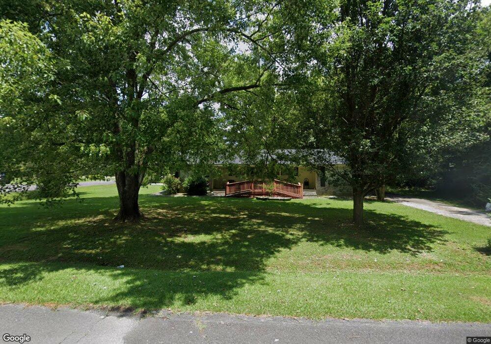
301 Cessna Dr Unit 1 Dalton, GA 30721
Estimated Value: $203,000 - $306,000
--
Bed
2
Baths
1,848
Sq Ft
$136/Sq Ft
Est. Value
About This Home
This home is located at 301 Cessna Dr Unit 1, Dalton, GA 30721 and is currently estimated at $250,551, approximately $135 per square foot. 301 Cessna Dr Unit 1 is a home located in Whitfield County with nearby schools including Eastside Elementary School, Eastbrook Middle School, and Southeast Whitfield County High School.
Ownership History
Date
Name
Owned For
Owner Type
Purchase Details
Closed on
Jan 28, 2021
Sold by
Colston Patricia A Estate
Bought by
Rogers Michael Wayne
Current Estimated Value
Home Financials for this Owner
Home Financials are based on the most recent Mortgage that was taken out on this home.
Original Mortgage
$157,102
Outstanding Balance
$140,267
Interest Rate
2.6%
Mortgage Type
FHA
Estimated Equity
$110,284
Purchase Details
Closed on
Dec 1, 2008
Sold by
Smith Phyllis
Bought by
Mcfarland Irene
Purchase Details
Closed on
Apr 1, 1995
Bought by
Smith Phyllis
Create a Home Valuation Report for This Property
The Home Valuation Report is an in-depth analysis detailing your home's value as well as a comparison with similar homes in the area
Home Values in the Area
Average Home Value in this Area
Purchase History
| Date | Buyer | Sale Price | Title Company |
|---|---|---|---|
| Rogers Michael Wayne | $160,000 | -- | |
| Mcfarland Irene | $130,000 | -- | |
| Smith Phyllis | -- | -- |
Source: Public Records
Mortgage History
| Date | Status | Borrower | Loan Amount |
|---|---|---|---|
| Open | Rogers Michael Wayne | $157,102 |
Source: Public Records
Tax History Compared to Growth
Tax History
| Year | Tax Paid | Tax Assessment Tax Assessment Total Assessment is a certain percentage of the fair market value that is determined by local assessors to be the total taxable value of land and additions on the property. | Land | Improvement |
|---|---|---|---|---|
| 2024 | $1,899 | $103,120 | $9,200 | $93,920 |
| 2023 | $1,899 | $71,112 | $9,200 | $61,912 |
| 2022 | $1,277 | $51,860 | $9,200 | $42,660 |
| 2021 | $1,530 | $51,860 | $9,200 | $42,660 |
| 2020 | $1,582 | $51,860 | $9,200 | $42,660 |
| 2019 | $1,608 | $51,860 | $9,200 | $42,660 |
| 2018 | $1,634 | $51,860 | $9,200 | $42,660 |
| 2017 | $1,635 | $51,860 | $9,200 | $42,660 |
| 2016 | $1,362 | $44,926 | $6,090 | $38,836 |
| 2014 | $1,209 | $44,926 | $6,090 | $38,836 |
| 2013 | -- | $44,926 | $6,090 | $38,836 |
Source: Public Records
Map
Nearby Homes
- 118 Hill Rd
- 136 Wiltshire Dr
- 00 Tibbs Bridge Rd
- 00 Hill Rd
- 296 Wagner Dr
- 1401 Eastbrook Dr SE
- 1629 Roosevelt Dr
- 143 Staten St
- TBD Old Grade Rd
- 0 Old Grade Rd
- 359 Pacer Ln Unit 4
- 213 Nashville St
- 307 Gay St
- 00 Wooten Dr
- 115 Wooten Dr
- trac 2 Roosevelt Dr
- trac 3 Roosevelt Dr
- 1902 Bartenfield Dr
- 1412 Stevenson Dr
- 1401 Eastbrook Rd SE