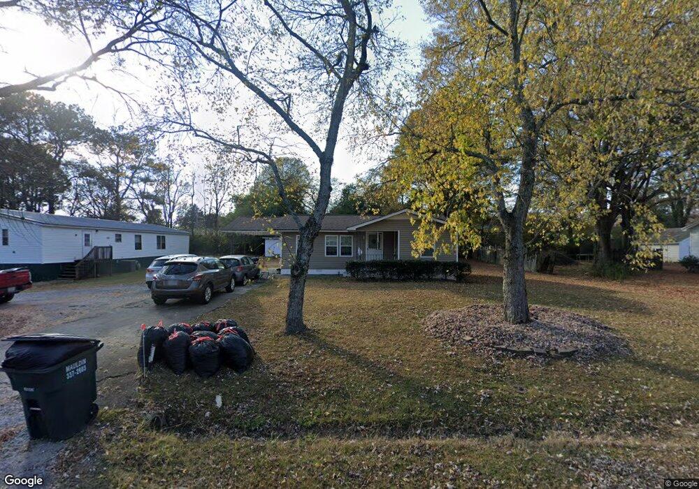
301 Circle Dr Calhoun, GA 30701
Estimated Value: $109,000
3
Beds
1
Bath
800
Sq Ft
$136/Sq Ft
Est. Value
About This Home
This home is located at 301 Circle Dr, Calhoun, GA 30701 and is currently priced at $109,000, approximately $136 per square foot. 301 Circle Dr is a home located in Gordon County with nearby schools including Belwood Elementary School and Philadelphia Christian School.
Ownership History
Date
Name
Owned For
Owner Type
Purchase Details
Closed on
Jun 27, 2007
Sold by
Heartland Group Rei Llc
Bought by
Mosley Shundra
Current Estimated Value
Home Financials for this Owner
Home Financials are based on the most recent Mortgage that was taken out on this home.
Original Mortgage
$75,504
Outstanding Balance
$46,871
Interest Rate
6.37%
Mortgage Type
FHA
Purchase Details
Closed on
Jan 12, 2007
Sold by
Wells Fargo Bank Na Trustee
Bought by
Heartland Group Rei Llc
Purchase Details
Closed on
Sep 5, 2006
Sold by
Worley Sammy
Bought by
Wells Fargo Bank Na Trustee
Purchase Details
Closed on
Apr 30, 2002
Sold by
Casey Dimple
Bought by
Worley Sammy
Purchase Details
Closed on
Dec 7, 2001
Sold by
Casey Dimple and Casey Zeblon V
Bought by
Casey Dimple
Create a Home Valuation Report for This Property
The Home Valuation Report is an in-depth analysis detailing your home's value as well as a comparison with similar homes in the area
Purchase History
| Date | Buyer | Sale Price | Title Company |
|---|---|---|---|
| Mosley Shundra | $76,600 | -- | |
| Mosley Shundra | $76,593 | -- | |
| Heartland Group Rei Llc | $48,000 | -- | |
| Heartland Grp Rei Llc | $48,000 | -- | |
| Wells Fargo Bank Na Trustee | -- | -- | |
| Wells Fargo Bank Na Trustee | $67,000 | -- | |
| Worley Sammy | -- | -- | |
| Casey Dimple | -- | -- |
Source: Public Records
Mortgage History
| Date | Status | Borrower | Loan Amount |
|---|---|---|---|
| Open | Mosley Shundra | $75,504 | |
| Closed | Mosley Shundra | $75,504 |
Source: Public Records
Tax History
| Year | Tax Paid | Tax Assessment Tax Assessment Total Assessment is a certain percentage of the fair market value that is determined by local assessors to be the total taxable value of land and additions on the property. | Land | Improvement |
|---|---|---|---|---|
| 2021 | $502 | $17,520 | $5,600 | $11,920 |
| 2020 | $425 | $16,848 | $5,600 | $11,248 |
| 2019 | $428 | $16,848 | $5,600 | $11,248 |
| 2018 | $315 | $12,936 | $4,200 | $8,736 |
| 2017 | $267 | $11,012 | $3,360 | $7,652 |
| 2016 | $346 | $11,572 | $3,920 | $7,652 |
Source: Public Records
Map
Nearby Homes
- 402 Linda Ln
- 511 Circle Dr
- 119 Telfair St
- 180 Honeysuckle Dr SE
- 123 Deer Park Ln
- 0 Deer Park Ln Unit 10659841
- 0 Deer Park Ln Unit 7692335
- 108 Rips Rd
- 1659 Resaca Lafayette Rd
- 114 Vinings Way SE
- 120 Saddle Ridge Trail
- 108 Saddle Ridge Trail
- 114 Saddle Ridge Trail
- 119 Peters St
- 0 S Wall St Unit 10665175
- 111 Sylvan Dr
- 300 Woodland Dr
- 212 Sherwood Dr
- 223 Lenox Rd SE
- 200 Cherry Hill Cir
Your Personal Tour Guide
Ask me questions while you tour the home.