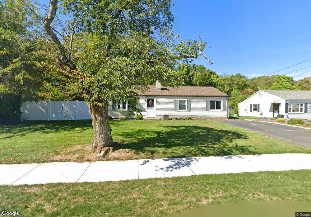
301 Circle Dr West Springfield, MA 01089
Estimated Value: $302,000 - $331,000
4
Beds
1
Bath
1,104
Sq Ft
$284/Sq Ft
Est. Value
About This Home
This home is located at 301 Circle Dr, West Springfield, MA 01089 and is currently estimated at $313,338, approximately $283 per square foot. 301 Circle Dr is a home located in Hampden County with nearby schools including West Springfield High School, Hampden Charter School of Science West, and St Thomas The Apostle School.
Create a Home Valuation Report for This Property
The Home Valuation Report is an in-depth analysis detailing your home's value as well as a comparison with similar homes in the area
Home Values in the Area
Average Home Value in this Area
Tax History
| Year | Tax Paid | Tax Assessment Tax Assessment Total Assessment is a certain percentage of the fair market value that is determined by local assessors to be the total taxable value of land and additions on the property. | Land | Improvement |
|---|---|---|---|---|
| 2025 | $3,248 | $218,400 | $107,700 | $110,700 |
| 2024 | $3,209 | $216,700 | $107,700 | $109,000 |
| 2023 | $3,119 | $200,700 | $107,700 | $93,000 |
| 2022 | $2,827 | $179,400 | $97,800 | $81,600 |
| 2021 | $2,745 | $162,400 | $90,400 | $72,000 |
| 2020 | $2,759 | $162,400 | $90,400 | $72,000 |
| 2019 | $2,754 | $162,400 | $90,400 | $72,000 |
| 2018 | $2,769 | $162,400 | $90,400 | $72,000 |
| 2017 | $2,769 | $162,400 | $90,400 | $72,000 |
| 2016 | $2,735 | $161,000 | $86,900 | $74,100 |
| 2015 | $2,681 | $157,800 | $85,100 | $72,700 |
| 2014 | $650 | $157,800 | $85,100 | $72,700 |
Source: Public Records
Map
Nearby Homes
- 0 Ahiska Rd Unit 73477754
- 791 Morgan Rd
- 750 Amostown Rd
- 36 Shady Brook
- 34 High Meadow Dr
- 2 Windpath E
- 404 Brush Hill Ave
- 240 Morton St
- 61 Clarence St
- 88 Verdugo St
- 65 Verdugo St
- 62 Talcott Ave
- 917 Elm St
- 80 Brush Hill Ave Unit 61
- 11 Annie's Way
- 20-22 Gay Terrace
- 65 Churchill Rd
- 81 Chestnut St
- 32 Maple St
- 115 Grove St
Your Personal Tour Guide
Ask me questions while you tour the home.