301 Coon Dr S Belfair, WA 98528
Estimated Value: $506,000 - $648,000
2
Beds
2
Baths
1,157
Sq Ft
$488/Sq Ft
Est. Value
About This Home
This home is located at 301 Coon Dr S, Belfair, WA 98528 and is currently estimated at $565,099, approximately $488 per square foot. 301 Coon Dr S is a home located in Mason County with nearby schools including North Mason Senior High School.
Ownership History
Date
Name
Owned For
Owner Type
Purchase Details
Closed on
May 7, 2019
Sold by
Mccaughey Myers Mark and Mccaughey Myers Colleen
Bought by
Brown Chad and Ryan Nico
Current Estimated Value
Home Financials for this Owner
Home Financials are based on the most recent Mortgage that was taken out on this home.
Original Mortgage
$320,808
Outstanding Balance
$281,482
Interest Rate
4.1%
Mortgage Type
New Conventional
Estimated Equity
$283,617
Purchase Details
Closed on
Feb 19, 2016
Sold by
Myers Lorraine Y
Bought by
Sattler Lisa and Myers Mark
Create a Home Valuation Report for This Property
The Home Valuation Report is an in-depth analysis detailing your home's value as well as a comparison with similar homes in the area
Home Values in the Area
Average Home Value in this Area
Purchase History
| Date | Buyer | Sale Price | Title Company |
|---|---|---|---|
| Brown Chad | $400,719 | Mason County Title Company | |
| Sattler Lisa | -- | None Available |
Source: Public Records
Mortgage History
| Date | Status | Borrower | Loan Amount |
|---|---|---|---|
| Open | Brown Chad | $320,808 |
Source: Public Records
Tax History Compared to Growth
Tax History
| Year | Tax Paid | Tax Assessment Tax Assessment Total Assessment is a certain percentage of the fair market value that is determined by local assessors to be the total taxable value of land and additions on the property. | Land | Improvement |
|---|---|---|---|---|
| 2025 | $2,729 | $359,585 | $109,240 | $250,345 |
| 2023 | $2,729 | $289,335 | $85,740 | $203,595 |
| 2022 | $2,968 | $322,540 | $78,760 | $243,780 |
| 2021 | $2,707 | $322,540 | $78,760 | $243,780 |
| 2020 | $2,825 | $300,965 | $71,600 | $229,365 |
| 2018 | $2,574 | $220,115 | $68,190 | $151,925 |
| 2017 | $2,389 | $219,895 | $67,970 | $151,925 |
| 2016 | $629 | $208,640 | $67,970 | $140,670 |
| 2015 | $628 | $198,605 | $60,350 | $138,255 |
| 2014 | -- | $192,065 | $55,250 | $136,815 |
| 2013 | -- | $192,065 | $55,250 | $136,815 |
Source: Public Records
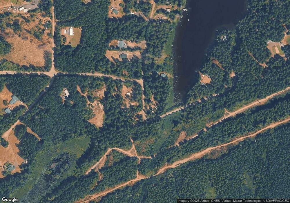
Map
Nearby Homes
- 91 E Joyce Ln
- 181 E Elaine Place
- 0 E Rd
- 91 E Westlake Dr S
- 500 E Morris Creek Dr
- 1961 E Trails End Place
- 1552 Lts 1&2 E Trails End (& Rasor) Dr
- 41 E Westlake Place
- 2181 E Trails End Dr
- 230 NE Nikki Ln
- 200 E Soderberg Rd
- 160 E Soderberg Rd Unit C6
- 191 E Sterling Dr
- 0 E Tepee Ln
- 391 E Rainier Dr
- 2 Lot E Rasor (& E Trails End) Rd
- 121 E Sterling Dr
- 41 E Hofaker Rd
- 1 Lot Rasor (& E Trails End) Rd
- 21 E Dream Ln
- 301 E Coon Dr S
- 191 E Coon Dr S
- 320 E Coon Dr S
- 230 E Coon Dr S
- 0 E Coon Dr N
- 0 Lot 1 of Sp #1424 E Coon Dr N Unit 1295377
- 0 E Coon Lake Unit NWM2234411
- 120 E Coon Dr N
- 41 E Coon Dr N
- 123 Coon Dr S
- 2 Coon Dr S
- 1 Coon Dr S
- 0 Lot 2 of Sp #1424 E Coon Dr N Unit 1295378
- 87 E Coon Dr N
- 176 E Coon Dr N
- 61 E Coon Dr N
- 161 E Coon Dr N
- 0 Lot 1 E Coon Dr N
- 180 E Coon Dr N
- 180 E Coon Dr N