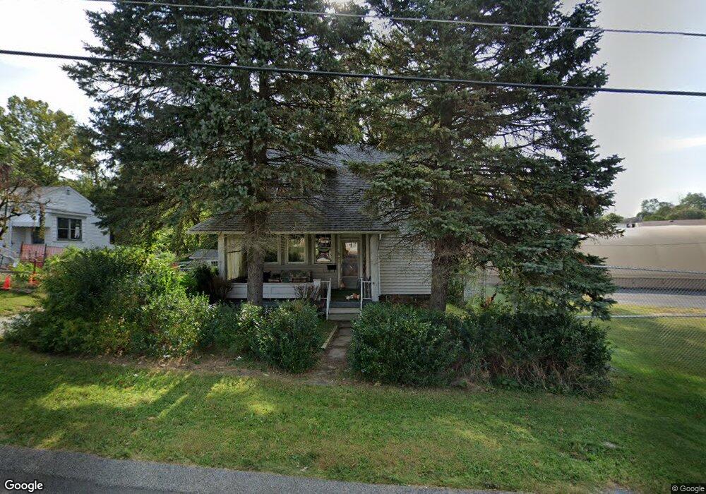
301 Crossland Ave Uniontown, PA 15401
Estimated Value: $43,000 - $87,000
3
Beds
1
Bath
1,311
Sq Ft
$57/Sq Ft
Est. Value
About This Home
This home is located at 301 Crossland Ave, Uniontown, PA 15401 and is currently estimated at $74,092, approximately $56 per square foot. 301 Crossland Ave is a home located in Fayette County with nearby schools including Laurel Highlands Senior High School, St. John the Evangelist School, and Chestnut Ridge Christian Academy.
Ownership History
Date
Name
Owned For
Owner Type
Purchase Details
Closed on
Jul 31, 2025
Sold by
Hixon Charles H
Bought by
Pylypenko Mykhailo
Current Estimated Value
Purchase Details
Closed on
Sep 9, 2024
Sold by
Brown Linda Haught Hixon and Brown George W
Bought by
Hixon Charles H
Purchase Details
Closed on
Jan 1, 1968
Bought by
Haught Ethel M
Create a Home Valuation Report for This Property
The Home Valuation Report is an in-depth analysis detailing your home's value as well as a comparison with similar homes in the area
Home Values in the Area
Average Home Value in this Area
Purchase History
| Date | Buyer | Sale Price | Title Company |
|---|---|---|---|
| Pylypenko Mykhailo | $10,000 | None Listed On Document | |
| Pylypenko Mykhailo | $10,000 | None Listed On Document | |
| Hixon Charles H | -- | None Listed On Document | |
| Haught Ethel M | -- | -- |
Source: Public Records
Tax History Compared to Growth
Tax History
| Year | Tax Paid | Tax Assessment Tax Assessment Total Assessment is a certain percentage of the fair market value that is determined by local assessors to be the total taxable value of land and additions on the property. | Land | Improvement |
|---|---|---|---|---|
| 2025 | $367 | $12,870 | $3,545 | $9,325 |
| 2024 | $357 | $12,870 | $3,545 | $9,325 |
| 2023 | $686 | $12,870 | $3,545 | $9,325 |
| 2022 | $680 | $12,870 | $3,545 | $9,325 |
| 2021 | $661 | $12,870 | $3,545 | $9,325 |
| 2020 | $661 | $12,870 | $3,545 | $9,325 |
| 2019 | $607 | $12,870 | $3,545 | $9,325 |
| 2018 | $589 | $12,870 | $3,545 | $9,325 |
| 2017 | $589 | $12,870 | $3,545 | $9,325 |
| 2016 | -- | $12,870 | $3,545 | $9,325 |
| 2015 | -- | $12,870 | $3,545 | $9,325 |
| 2014 | -- | $25,740 | $7,090 | $18,650 |
Source: Public Records
Map
Nearby Homes
- 302 Crossland Ave
- 67 Stewart Ave
- 86 Virginia Ave
- 149 Coolspring St
- 23 Thomas St
- 26 Belmont Cir
- 30 Collins Ave
- 63 Evans St
- 32 Coolspring St
- 200 Evans St
- 192 Searight Ave
- 8 1/2 Apple St
- 246 Coolspring St
- 26 Sycamore St
- 25 E Craig St
- 0 Cleveland Ave
- 43 Union St
- 32 Lawton Ave
- 404 Shannon Dr
- 15 Trump Ave
- 263 Crossland Ave
- 262 Crossland Ave
- 245 Crossland Ave
- 260 Crossland Ave
- 233 Crossland Ave
- 250 Crossland Ave
- 38 Bradbury St
- 231 Crossland Ave
- 244 Crossland Ave
- 229 Crossland Ave
- 238 Crossland Ave
- 34 Bradbury St
- 51 Bradbury St
- 221 Crossland Ave
- 43 Bradbury St
- 213 Crossland Ave
- 37 Bradbury St
- 201 Elm Rd
- 211 Crossland Ave
- 35 Bradbury St