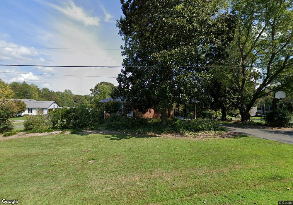
301 Cunningham Rd Thomasville, NC 27360
Estimated Value: $151,000 - $265,000
2
Beds
1
Bath
2,236
Sq Ft
$92/Sq Ft
Est. Value
About This Home
This home is located at 301 Cunningham Rd, Thomasville, NC 27360 and is currently estimated at $206,334, approximately $92 per square foot. 301 Cunningham Rd is a home located in Davidson County with nearby schools including Fair Grove Elementary School, E. Lawson Brown Middle School, and East Davidson High School.
Ownership History
Date
Name
Owned For
Owner Type
Purchase Details
Closed on
Jul 15, 2005
Sold by
M I Black Enterprises Inc
Bought by
Moore Joe Don and Moore Angela W
Current Estimated Value
Home Financials for this Owner
Home Financials are based on the most recent Mortgage that was taken out on this home.
Original Mortgage
$144,000
Outstanding Balance
$74,586
Interest Rate
5.54%
Mortgage Type
Purchase Money Mortgage
Estimated Equity
$131,748
Purchase Details
Closed on
Aug 27, 2002
Bought by
Moore Joe Don
Create a Home Valuation Report for This Property
The Home Valuation Report is an in-depth analysis detailing your home's value as well as a comparison with similar homes in the area
Home Values in the Area
Average Home Value in this Area
Purchase History
| Date | Buyer | Sale Price | Title Company |
|---|---|---|---|
| Moore Joe Don | $23,000 | None Available | |
| Moore Joe Don | $110,000 | -- |
Source: Public Records
Mortgage History
| Date | Status | Borrower | Loan Amount |
|---|---|---|---|
| Open | Moore Joe Don | $144,000 |
Source: Public Records
Tax History
| Year | Tax Paid | Tax Assessment Tax Assessment Total Assessment is a certain percentage of the fair market value that is determined by local assessors to be the total taxable value of land and additions on the property. | Land | Improvement |
|---|---|---|---|---|
| 2025 | $344 | $109,150 | $0 | $0 |
| 2024 | $344 | $109,150 | $0 | $0 |
| 2023 | $344 | $109,150 | $0 | $0 |
| 2022 | $688 | $109,150 | $0 | $0 |
| 2021 | $688 | $109,150 | $0 | $0 |
| 2020 | $604 | $95,760 | $0 | $0 |
| 2019 | $607 | $94,800 | $0 | $0 |
| 2018 | $607 | $94,800 | $0 | $0 |
| 2017 | $607 | $94,800 | $0 | $0 |
| 2016 | $588 | $94,800 | $0 | $0 |
| 2015 | $588 | $94,800 | $0 | $0 |
| 2014 | $499 | $80,440 | $0 | $0 |
Source: Public Records
Map
Nearby Homes
- 6919 E Holly Grove Rd
- 164 Holland Ln
- 186 Holland Ln
- 380 Cedarland Dr
- 1004 Black Farm Rd
- 450 Black Lake Rd
- 596 Colleen Dr
- 5285 E Holly Grove Rd
- 5285 E Holly Grove Rd Unit 43
- 189 Panther Ln
- 189 Panther Ln Unit 94-97
- 3622 Lower Lake Rd
- 2501 Denton Rd
- 1579 Lake Rd
- 4 Braxton Ln
- 109 Fletcher's Farm Dr
- 1125 Hillcrest Dr
- 12 Braxton Ln
- 1107 Harvest Dr
- 114 Brooke Ridge Dr
- 277 Cunningham Rd
- 337 Cunningham Rd
- 0 Cunningham Rd Cunningham Rd
- 00 Cunningham Rd
- 370 Cunningham Loop Rd
- 235 Cunningham Rd
- 256 Cunningham Rd
- 357 Cunningham Rd
- 000 Cunningham Rd
- 419 Cunningham Loop Rd
- 371 Cunningham Loop Rd
- 347 Cunningham Loop Rd
- 155 Cunningham Loop Rd
- 324 Cunningham Loop Rd
- 419 Cunningham Rd
- 327 Cunningham Loop Rd
- 177 Cunningham Loop Rd
- 197 Cunningham Loop Rd
- 163 Cunningham Rd
- 217 Cunningham Loop Rd
Your Personal Tour Guide
Ask me questions while you tour the home.