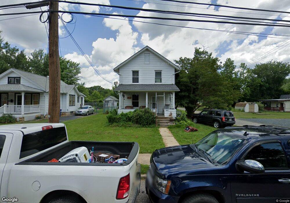
301 Custis St Aberdeen, MD 21001
Estimated Value: $242,000 - $263,000
3
Beds
1
Bath
1,088
Sq Ft
$234/Sq Ft
Est. Value
About This Home
This home is located at 301 Custis St, Aberdeen, MD 21001 and is currently estimated at $254,417, approximately $233 per square foot. 301 Custis St is a home located in Harford County with nearby schools including G. Lisby Elementary At Hillsdale, Aberdeen Middle School, and Aberdeen High School.
Ownership History
Date
Name
Owned For
Owner Type
Purchase Details
Closed on
Dec 3, 2010
Sold by
White Bonnie M
Bought by
Flayhart Bonnie M
Current Estimated Value
Home Financials for this Owner
Home Financials are based on the most recent Mortgage that was taken out on this home.
Original Mortgage
$127,285
Outstanding Balance
$84,734
Interest Rate
4.37%
Mortgage Type
FHA
Estimated Equity
$169,683
Purchase Details
Closed on
Dec 6, 2004
Sold by
Glassman Arthur J
Bought by
White Bonnie M
Purchase Details
Closed on
Apr 3, 2000
Sold by
Dubree Norma H
Bought by
Glassman Arthur J and Glassman Robyn L
Create a Home Valuation Report for This Property
The Home Valuation Report is an in-depth analysis detailing your home's value as well as a comparison with similar homes in the area
Home Values in the Area
Average Home Value in this Area
Purchase History
| Date | Buyer | Sale Price | Title Company |
|---|---|---|---|
| Flayhart Bonnie M | $129,000 | -- | |
| White Bonnie M | $127,000 | -- | |
| Glassman Arthur J | $79,900 | -- |
Source: Public Records
Mortgage History
| Date | Status | Borrower | Loan Amount |
|---|---|---|---|
| Open | Flayhart Bonnie M | $127,285 | |
| Closed | Glassman Arthur J | -- |
Source: Public Records
Tax History
| Year | Tax Paid | Tax Assessment Tax Assessment Total Assessment is a certain percentage of the fair market value that is determined by local assessors to be the total taxable value of land and additions on the property. | Land | Improvement |
|---|---|---|---|---|
| 2025 | $1,372 | $151,433 | $0 | $0 |
| 2024 | $1,372 | $143,967 | $0 | $0 |
| 2023 | $1,301 | $136,500 | $51,000 | $85,500 |
| 2022 | $1,287 | $134,967 | $0 | $0 |
| 2021 | $1,327 | $133,433 | $0 | $0 |
| 2020 | $1,327 | $131,900 | $51,000 | $80,900 |
| 2019 | $1,327 | $131,900 | $51,000 | $80,900 |
| 2018 | $1,315 | $131,900 | $51,000 | $80,900 |
| 2017 | $1,315 | $131,900 | $0 | $0 |
| 2016 | -- | $131,900 | $0 | $0 |
| 2015 | $1,536 | $131,900 | $0 | $0 |
| 2014 | $1,536 | $137,300 | $0 | $0 |
Source: Public Records
Map
Nearby Homes
- 45 Mount Royal Ave
- 136 S Parke St
- 69 Baker St
- 321 S Law St
- 0 Harford St Unit MDHR2039982
- 229 Baltimore St
- 754 Custis St
- 125 Valley Rd
- 449 S Law St
- 0 S Philadelphia Blvd
- 631 W Bel Air Ave
- 21 Gunnison Dr
- 74 Smith Ave
- 687 Plater St
- 740 Bur Oak Ct Unit 78
- 722 Bur Oak Ct Unit 77
- 648 S Rogers St
- 444 Chestnut St
- 302 Graceford Dr
- 204 Darlington Ave
Your Personal Tour Guide
Ask me questions while you tour the home.