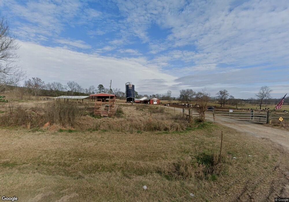
301 Dennis Station Rd Eatonton, GA 31024
Estimated Value: $430,000 - $1,426,264
--
Bed
2
Baths
1,358
Sq Ft
$683/Sq Ft
Est. Value
About This Home
This home is located at 301 Dennis Station Rd, Eatonton, GA 31024 and is currently estimated at $928,132, approximately $683 per square foot. 301 Dennis Station Rd is a home located in Putnam County with nearby schools including Putnam County Primary School, Putnam County Elementary School, and Putnam County Middle School.
Ownership History
Date
Name
Owned For
Owner Type
Purchase Details
Closed on
Sep 24, 2020
Sold by
Bailes Shirley A
Bought by
Bailes Emory J
Current Estimated Value
Purchase Details
Closed on
Jan 12, 1996
Sold by
Burns Robert F Trus
Bought by
Bailes Emory J
Purchase Details
Closed on
Nov 26, 1990
Sold by
Burns Robert F and Burns Mary
Bought by
Burns Robert F
Purchase Details
Closed on
Jul 13, 1987
Bought by
Burns Robert F and Burns Mary
Create a Home Valuation Report for This Property
The Home Valuation Report is an in-depth analysis detailing your home's value as well as a comparison with similar homes in the area
Home Values in the Area
Average Home Value in this Area
Purchase History
| Date | Buyer | Sale Price | Title Company |
|---|---|---|---|
| Bailes Emory J | -- | -- | |
| Bailes Emory J | $200,000 | -- | |
| Burns Robert F | -- | -- | |
| Burns Robert F | $244,000 | -- |
Source: Public Records
Tax History Compared to Growth
Tax History
| Year | Tax Paid | Tax Assessment Tax Assessment Total Assessment is a certain percentage of the fair market value that is determined by local assessors to be the total taxable value of land and additions on the property. | Land | Improvement |
|---|---|---|---|---|
| 2024 | $1,982 | $457,471 | $380,414 | $77,057 |
| 2023 | $1,982 | $445,986 | $380,446 | $65,540 |
| 2022 | $1,815 | $329,876 | $275,676 | $54,200 |
| 2021 | $2,128 | $182,115 | $122,873 | $59,242 |
| 2020 | $4,181 | $172,564 | $122,852 | $49,712 |
| 2019 | $3,536 | $158,162 | $117,571 | $40,591 |
| 2018 | $3,719 | $163,475 | $122,884 | $40,591 |
| 2017 | $1,266 | $163,475 | $122,884 | $40,591 |
| 2016 | $1,248 | $163,475 | $122,884 | $40,591 |
| 2015 | $1,185 | $163,475 | $122,884 | $40,592 |
| 2014 | $1,169 | $163,476 | $122,884 | $40,592 |
Source: Public Records
Map
Nearby Homes
- 342 Dennis Station Rd
- 0 Edgewater Dr Unit 10595879
- 0 Dennis Station Rd SW Unit 10595845
- 433 Avant Rd
- 429 Avant Rd
- 000 Dennis Station Rd SW
- 00 River Oak Dr SW
- 150 Edgewater Dr
- 000 Edgewater Dr
- 145 & 143 Edgewater Dr
- 145 & 143 Edgewater Dr
- 458 Twin Bridges Rd SW
- 100AC Twin Bridges Rd SW
- 123 Sunrise Dr SW
- Lot 11 Anchor Point Dr
- LOTS 62 & 63 Anchor Point Dr
- 338 Anchor Point Dr
- 232 Anchor Point Dr
- 126 W Little River Ct
- 224 Little River Trail
- 301 Dennis Station Rd
- 301 Dennis Station Rd SW
- 279 Dennis Station Rd SW
- 274 Dennis Station Rd SW
- 321 Dennis Station Rd SW
- 327 Dennis Station Rd SW
- 325 Dennis Station Rd
- 331 Dennis Station Rd SW
- 331 Dennis Station Rd
- 331 Dennis Station Rd
- 175 Dennis Station Rd
- 209 Dennis Station Rd
- 201 Dennis Station Rd
- 0 Avant Rd Unit 8436602
- 0 Avant Rd Unit 7196346
- 0 Avant Rd Unit 988325
- 0 Avant Rd Unit 7056446
- 0 Avant Rd Unit 10053194
- 0 Avant Rd Unit 10027082
- 0 Avant Rd Unit 61197