301 Dove Rd Locust Grove, OK 74352
Estimated Value: $247,000 - $287,000
3
Beds
4
Baths
1,680
Sq Ft
$160/Sq Ft
Est. Value
About This Home
This home is located at 301 Dove Rd, Locust Grove, OK 74352 and is currently estimated at $268,122, approximately $159 per square foot. 301 Dove Rd is a home with nearby schools including Locust Grove Early Lrning Center, Locust Grove Upper Elementary School, and Locust Grove Middle School.
Ownership History
Date
Name
Owned For
Owner Type
Purchase Details
Closed on
Oct 27, 2021
Sold by
Glennon William S and Glennon Theresa
Bought by
Glennon William S and Glennon Theresa
Current Estimated Value
Home Financials for this Owner
Home Financials are based on the most recent Mortgage that was taken out on this home.
Original Mortgage
$72,500
Outstanding Balance
$66,313
Interest Rate
3.01%
Mortgage Type
New Conventional
Estimated Equity
$201,809
Purchase Details
Closed on
Apr 19, 2001
Sold by
Moorehead Charles
Bought by
Glennon Wm and Glennon Theresa
Purchase Details
Closed on
Oct 15, 1993
Sold by
Wilson
Bought by
Moorehead
Create a Home Valuation Report for This Property
The Home Valuation Report is an in-depth analysis detailing your home's value as well as a comparison with similar homes in the area
Home Values in the Area
Average Home Value in this Area
Purchase History
| Date | Buyer | Sale Price | Title Company |
|---|---|---|---|
| Glennon William S | -- | Firsttitle & Smith Brothers | |
| Glennon Wm | $95,000 | -- | |
| Moorehead | $69,000 | -- |
Source: Public Records
Mortgage History
| Date | Status | Borrower | Loan Amount |
|---|---|---|---|
| Open | Glennon William S | $72,500 |
Source: Public Records
Tax History Compared to Growth
Tax History
| Year | Tax Paid | Tax Assessment Tax Assessment Total Assessment is a certain percentage of the fair market value that is determined by local assessors to be the total taxable value of land and additions on the property. | Land | Improvement |
|---|---|---|---|---|
| 2025 | $1,447 | $16,333 | $3,220 | $13,113 |
| 2024 | $1,447 | $15,556 | $3,067 | $12,489 |
| 2023 | $1,447 | $14,816 | $3,019 | $11,797 |
| 2022 | $1,273 | $14,110 | $2,935 | $11,175 |
| 2021 | $1,146 | $13,438 | $2,894 | $10,544 |
| 2020 | $1,163 | $13,438 | $3,080 | $10,358 |
| 2019 | $1,164 | $13,438 | $2,336 | $11,102 |
| 2018 | $1,188 | $13,438 | $2,336 | $11,102 |
| 2017 | $1,188 | $13,438 | $2,336 | $11,102 |
| 2016 | $1,160 | $13,438 | $2,336 | $11,102 |
| 2015 | $1,198 | $13,438 | $2,336 | $11,102 |
| 2014 | $1,308 | $13,580 | $2,849 | $10,731 |
Source: Public Records
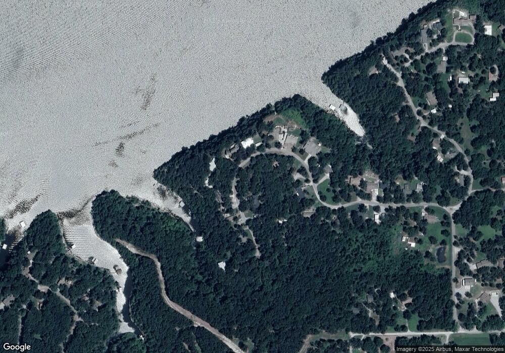
Map
Nearby Homes
- 282 Dove Rd
- 355 Dove Rd
- 338 Dove Rd
- 255 Dove Rd
- 350 Dove Rd
- 298 Dove Rd
- 100 W Markham
- 225 Dove Rd
- 364 Dove Rd
- 258 Dove Rd
- 181 Dove Rd
- 0 Dove Rd Unit 224951
- 0 Dove Rd Unit 710982
- 0 Dove Rd Unit 310759
- 0 Dove Rd Unit 710174
- 0 Dove Rd Unit 904226
- 0 Dove Rd Unit 1303137
- 0 Dove Rd Unit 1942430
- 0 Dove Rd Unit 2023723
- 240 Dove Rd