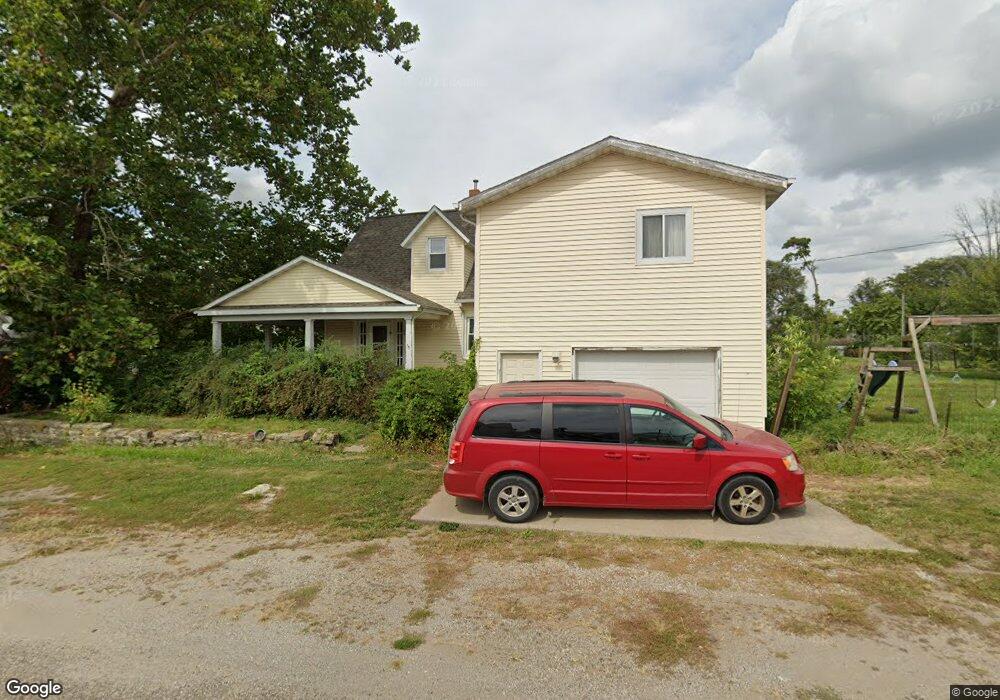
301 E 3rd St Hedrick, IA 52563
Estimated Value: $83,000 - $113,964
5
Beds
1
Bath
2,061
Sq Ft
$48/Sq Ft
Est. Value
About This Home
This home is located at 301 E 3rd St, Hedrick, IA 52563 and is currently estimated at $99,741, approximately $48 per square foot. 301 E 3rd St is a home located in Keokuk County with nearby schools including Pekin Elementary School, Pekin Middle School, and Pekin Community High School.
Ownership History
Date
Name
Owned For
Owner Type
Purchase Details
Closed on
Aug 18, 2009
Sold by
Shipley David W and Shipley Brenda L
Bought by
Moore Samuel L and Moore Catherine A
Current Estimated Value
Home Financials for this Owner
Home Financials are based on the most recent Mortgage that was taken out on this home.
Original Mortgage
$62,000
Outstanding Balance
$40,589
Interest Rate
5.29%
Mortgage Type
New Conventional
Estimated Equity
$59,152
Create a Home Valuation Report for This Property
The Home Valuation Report is an in-depth analysis detailing your home's value as well as a comparison with similar homes in the area
Purchase History
| Date | Buyer | Sale Price | Title Company |
|---|---|---|---|
| Moore Samuel L | $62,000 | -- |
Source: Public Records
Mortgage History
| Date | Status | Borrower | Loan Amount |
|---|---|---|---|
| Open | Moore Samuel L | $62,000 |
Source: Public Records
Tax History
| Year | Tax Paid | Tax Assessment Tax Assessment Total Assessment is a certain percentage of the fair market value that is determined by local assessors to be the total taxable value of land and additions on the property. | Land | Improvement |
|---|---|---|---|---|
| 2025 | $1,264 | $96,820 | $11,110 | $85,710 |
| 2024 | $1,264 | $85,400 | $5,230 | $80,170 |
| 2023 | $1,060 | $85,400 | $5,230 | $80,170 |
| 2022 | $1,020 | $63,070 | $5,230 | $57,840 |
| 2021 | $1,020 | $63,070 | $5,230 | $57,840 |
| 2020 | $954 | $57,320 | $4,900 | $52,420 |
| 2019 | $960 | $57,320 | $0 | $0 |
| 2018 | $942 | $56,540 | $0 | $0 |
| 2017 | $942 | $56,850 | $0 | $0 |
| 2016 | $928 | $56,850 | $0 | $0 |
| 2015 | $928 | $56,850 | $0 | $0 |
| 2014 | $956 | $56,850 | $0 | $0 |
Source: Public Records
Map
Nearby Homes
- 104 E 1st St
- 505 W 6th St
- 33536 180th Ave
- 285th Street
- 28381 202nd Ave
- 105 E Railroad St
- 25871 200th Ave
- 27 Pinehurst Cir
- 11881 County Road V43
- 12655 Iowa 149
- 11881 County V43 Rd
- 0 150th Unit 6314578
- 1274 176th Ave NW
- 463 E Rochester Rd
- 464 E Rochester Rd
- 307 E Rochester Rd
- 0 E Rochester Rd
- 187 E Rochester Rd
- 4115 Bladensburg Rd
- 2048 120th St
Your Personal Tour Guide
Ask me questions while you tour the home.