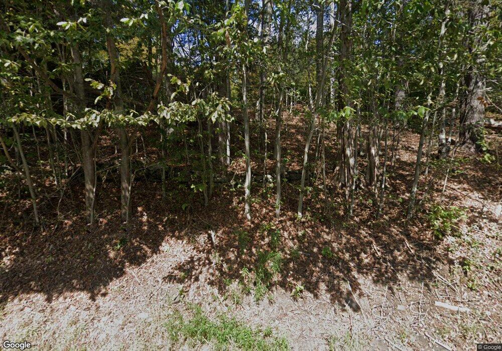
Estimated Value: $145,000 - $252,000
1
Bed
1
Bath
792
Sq Ft
$258/Sq Ft
Est. Value
About This Home
This home is located at 301 E Otis Rd, Otis, MA 01253 and is currently estimated at $204,457, approximately $258 per square foot. 301 E Otis Rd is a home with nearby schools including Farmington River Elementary School.
Ownership History
Date
Name
Owned For
Owner Type
Purchase Details
Closed on
Sep 27, 2017
Sold by
Southard Larry S
Bought by
Southard Marci A
Current Estimated Value
Purchase Details
Closed on
Jun 6, 2016
Sold by
Mccluster Robert L and Mccluster Donna H
Bought by
Southard Larry S
Home Financials for this Owner
Home Financials are based on the most recent Mortgage that was taken out on this home.
Original Mortgage
$57,600
Interest Rate
3.59%
Mortgage Type
New Conventional
Create a Home Valuation Report for This Property
The Home Valuation Report is an in-depth analysis detailing your home's value as well as a comparison with similar homes in the area
Home Values in the Area
Average Home Value in this Area
Purchase History
| Date | Buyer | Sale Price | Title Company |
|---|---|---|---|
| Southard Marci A | -- | -- | |
| Southard Marci A | -- | -- | |
| Southard Larry S | $72,000 | -- | |
| Southard Larry S | $72,000 | -- |
Source: Public Records
Mortgage History
| Date | Status | Borrower | Loan Amount |
|---|---|---|---|
| Previous Owner | Southard Larry S | $57,600 |
Source: Public Records
Tax History
| Year | Tax Paid | Tax Assessment Tax Assessment Total Assessment is a certain percentage of the fair market value that is determined by local assessors to be the total taxable value of land and additions on the property. | Land | Improvement |
|---|---|---|---|---|
| 2025 | $775 | $119,900 | $37,100 | $82,800 |
| 2024 | $698 | $107,700 | $38,700 | $69,000 |
| 2023 | $634 | $95,800 | $26,800 | $69,000 |
| 2022 | $845 | $109,000 | $25,200 | $83,800 |
| 2021 | $804 | $94,900 | $25,200 | $69,700 |
| 2020 | $780 | $93,500 | $25,200 | $68,300 |
| 2019 | $774 | $93,500 | $25,200 | $68,300 |
| 2018 | $774 | $93,500 | $25,200 | $68,300 |
| 2017 | $755 | $93,500 | $25,200 | $68,300 |
| 2016 | $816 | $104,000 | $25,200 | $78,800 |
| 2015 | $892 | $118,500 | $26,800 | $91,700 |
Source: Public Records
Map
Nearby Homes
- 32 S Main Rd
- 2439 W Center Rd
- 0 Clubhouse Dr
- 314 Lakeshore Dr
- 316 Lakeshore Dr
- 314 & 316 Lakeshore Dr
- 377 Highland Way
- 0 Perry Rd
- 289 Monterey Rd
- 0 Lion Hill Rd
- 15B-7 E Otis Rd
- Lot 19-I W Center Rd
- 40 Bliven Rd
- 0 Leisure Ln
- 0 N Beech Plain Rd Unit 247823
- 129 W Shore Rd
- 134 Kibbe Rd
- 454 Pine Rd
- 95 Sugar House Rd
- 103 Algerie Rd
- 272 E Otis Rd
- 243 E Otis Rd
- 248 E Otis Rd
- 23 Massachusetts 23
- 0 Massachusetts 23
- 52 Rocky Top Rd
- 345 E Otis Rd
- 355 E Otis Rd
- 195 E Otis Rd
- 15 Davison Rd
- 368 E Otis Rd
- 196 E Otis Rd
- 196 E Otis Rd
- 40 Davidson Rd
- 163 E Otis Rd
- 164 E Otis Rd
- 170 E Otis Rd
- 411 E Otis Rd
- 0 Louden Bethlehem Rd Unit 71154300
- 0 Louden Bethlehem Rd Unit 72168509
