301 Fir Rd Kamiah, ID 83536
Estimated Value: $294,309 - $432,000
--
Bed
--
Bath
1,064
Sq Ft
$330/Sq Ft
Est. Value
About This Home
This home is located at 301 Fir Rd, Kamiah, ID 83536 and is currently estimated at $351,327, approximately $330 per square foot. 301 Fir Rd is a home located in Idaho County with nearby schools including Kamiah Elementary School, Kamiah Middle School, and Kamiah High School.
Ownership History
Date
Name
Owned For
Owner Type
Purchase Details
Closed on
Oct 16, 2024
Sold by
Schnebly Linda and Morrison James P
Bought by
Phillips Jonathan Lee and Phillips Nicolette Laverne
Current Estimated Value
Home Financials for this Owner
Home Financials are based on the most recent Mortgage that was taken out on this home.
Original Mortgage
$295,000
Outstanding Balance
$291,899
Interest Rate
6.35%
Mortgage Type
Seller Take Back
Estimated Equity
$59,428
Purchase Details
Closed on
Feb 27, 2007
Sold by
Hendren Joanne
Bought by
Morrison James P and Schnebly Linda
Create a Home Valuation Report for This Property
The Home Valuation Report is an in-depth analysis detailing your home's value as well as a comparison with similar homes in the area
Home Values in the Area
Average Home Value in this Area
Purchase History
| Date | Buyer | Sale Price | Title Company |
|---|---|---|---|
| Phillips Jonathan Lee | -- | Inland Title | |
| Phillips Jonathan Lee | -- | Inland Title | |
| Morrison James P | -- | -- |
Source: Public Records
Mortgage History
| Date | Status | Borrower | Loan Amount |
|---|---|---|---|
| Open | Phillips Jonathan Lee | $295,000 | |
| Closed | Phillips Jonathan Lee | $295,000 |
Source: Public Records
Tax History Compared to Growth
Tax History
| Year | Tax Paid | Tax Assessment Tax Assessment Total Assessment is a certain percentage of the fair market value that is determined by local assessors to be the total taxable value of land and additions on the property. | Land | Improvement |
|---|---|---|---|---|
| 2025 | $966 | $309,147 | $46,390 | $262,757 |
| 2024 | $966 | $309,456 | $46,436 | $263,020 |
| 2023 | $1,049 | $309,456 | $46,436 | $263,020 |
| 2022 | $895 | $269,092 | $40,379 | $228,713 |
| 2021 | $1,249 | $199,327 | $29,910 | $169,417 |
| 2020 | $1,207 | $181,206 | $27,191 | $154,015 |
| 2019 | $658 | $156,585 | $22,659 | $133,926 |
| 2018 | $842 | $115,635 | $22,330 | $93,305 |
| 2017 | $687 | $115,635 | $22,330 | $93,305 |
| 2016 | $557 | $115,635 | $22,330 | $93,305 |
| 2014 | -- | $0 | $0 | $0 |
| 2013 | -- | $0 | $0 | $0 |
Source: Public Records
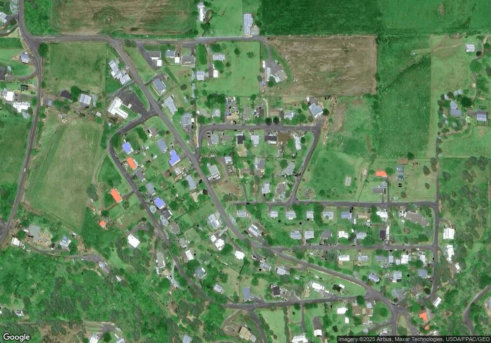
Map
Nearby Homes
- 128 Pine Rd
- 213 Larch Rd
- 330 Fir Rd
- 307 Locust Rd
- 1127 Ridgewood Dr
- 126 Rock Rd
- 133 Pheasant Dr
- TBD Riverview Ln
- 1428 Ridgewood Dr
- 1020 Idaho St
- 908 13th St
- 113 View Rd
- 17 S Front Rd
- 4190 U S 12
- lots 12, 13, 14 Valley View Dr
- 102 Chief Lawyer St
- 810 Main St
- 4157 Highway 12
- 0 Tbd Highway 12
- 1590 Roby Rd