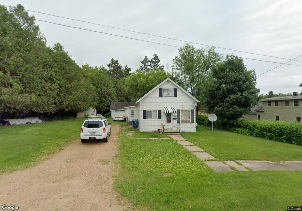
301 Flint Ave Mattoon, WI 54450
Estimated Value: $62,735 - $140,000
Studio
--
Bath
--
Sq Ft
7,231
Sq Ft Lot Lot
About This Home
This home is located at 301 Flint Ave, Mattoon, WI 54450 and is currently estimated at $96,184. 301 Flint Ave is a home with nearby schools including Antigo High School.
Ownership History
Date
Name
Owned For
Owner Type
Purchase Details
Closed on
Sep 30, 2022
Sold by
Kemmer Robert C
Bought by
Duchaine Irving Kenneth
Current Estimated Value
Purchase Details
Closed on
Mar 19, 2015
Sold by
Kemmer Robert C
Bought by
Duchaine and Irving K
Purchase Details
Closed on
Mar 13, 2015
Sold by
Hansen Joshua R
Bought by
Kemmer Robert C
Purchase Details
Closed on
Apr 1, 2013
Sold by
Stern Rentals Llc
Bought by
Hansen Joshua R
Purchase Details
Closed on
Jan 1, 2010
Sold by
Stern Korey
Bought by
Stern Rentals Llc
Purchase Details
Closed on
Apr 23, 2009
Sold by
Stern Ken
Bought by
Stern Korey
Create a Home Valuation Report for This Property
The Home Valuation Report is an in-depth analysis detailing your home's value as well as a comparison with similar homes in the area
Purchase History
| Date | Buyer | Sale Price | Title Company |
|---|---|---|---|
| Duchaine Irving Kenneth | $25,000 | Atty. Richard M. Olk | |
| Duchaine | $25,000 | -- | |
| Kemmer Robert C | $10,000 | -- | |
| Hansen Joshua R | $20,000 | -- | |
| Stern Rentals Llc | -- | -- | |
| Stern Korey | -- | -- | |
| Stern Korey | $25,000 | -- |
Source: Public Records
Tax History
| Year | Tax Paid | Tax Assessment Tax Assessment Total Assessment is a certain percentage of the fair market value that is determined by local assessors to be the total taxable value of land and additions on the property. | Land | Improvement |
|---|---|---|---|---|
| 2025 | $454 | $25,500 | $4,000 | $21,500 |
| 2024 | $416 | $25,500 | $4,000 | $21,500 |
| 2023 | $318 | $25,500 | $4,000 | $21,500 |
| 2022 | $377 | $25,500 | $4,000 | $21,500 |
| 2021 | $388 | $21,600 | $4,000 | $17,600 |
| 2020 | $435 | $21,600 | $4,000 | $17,600 |
| 2019 | $418 | $21,600 | $4,000 | $17,600 |
| 2018 | $659 | $21,600 | $4,000 | $17,600 |
| 2017 | $494 | $21,600 | $4,000 | $17,600 |
| 2016 | $517 | $21,600 | $4,000 | $17,600 |
| 2015 | $312 | $21,600 | $4,000 | $17,600 |
| 2014 | $30,748 | $21,600 | $4,000 | $17,600 |
| 2013 | $842 | $30,300 | $4,000 | $26,300 |
Source: Public Records
Map
Nearby Homes
- 406 Flint Ave
- 518 Flint Ave
- N696 County Rd S
- N10035 Red River Rd
- N2319 Koszarek Rd
- N8386 County Road D
- N8386 Cth D
- N10595 U S 45
- ON Emma St Unit 1.6 Acres
- W7081 Hill Rd
- W8488 Forrest Rd
- N10595 State Highway 45
- N8466 Maplewood Rd
- 190 County Rd N
- 612 High St
- 415 Wausau St
- 02 State Highway 45
- 01 Matthew Dr
- 02 Matthew Dr
- 347 Church St
Your Personal Tour Guide
Ask me questions while you tour the home.