301 Forest Trail Weatherford, TX 76085
Estimated Value: $578,245 - $765,000
--
Bed
--
Bath
2,883
Sq Ft
$233/Sq Ft
Est. Value
About This Home
This home is located at 301 Forest Trail, Weatherford, TX 76085 and is currently estimated at $670,311, approximately $232 per square foot. 301 Forest Trail is a home located in Parker County with nearby schools including Silver Creek Elementary School, Azle Elementary School, and Azle Junior High School.
Ownership History
Date
Name
Owned For
Owner Type
Purchase Details
Closed on
Apr 5, 2000
Sold by
Blalock Robert and Blalock Judith
Bought by
Molinets Frank C
Current Estimated Value
Purchase Details
Closed on
Nov 19, 1992
Bought by
Molinets Frank C
Purchase Details
Closed on
Mar 4, 1992
Bought by
Molinets Frank C
Purchase Details
Closed on
Jan 1, 1901
Bought by
Molinets Frank C
Create a Home Valuation Report for This Property
The Home Valuation Report is an in-depth analysis detailing your home's value as well as a comparison with similar homes in the area
Home Values in the Area
Average Home Value in this Area
Purchase History
| Date | Buyer | Sale Price | Title Company |
|---|---|---|---|
| Molinets Frank C | -- | -- | |
| Molinets Frank C | -- | -- | |
| Molinets Frank C | -- | -- | |
| Molinets Frank C | -- | -- |
Source: Public Records
Tax History Compared to Growth
Tax History
| Year | Tax Paid | Tax Assessment Tax Assessment Total Assessment is a certain percentage of the fair market value that is determined by local assessors to be the total taxable value of land and additions on the property. | Land | Improvement |
|---|---|---|---|---|
| 2025 | $1,785 | $434,075 | -- | -- |
| 2024 | $1,785 | $394,614 | -- | -- |
| 2023 | $1,785 | $358,740 | $0 | $0 |
| 2022 | $6,035 | $398,250 | $114,500 | $283,750 |
| 2021 | $5,748 | $398,250 | $114,500 | $283,750 |
| 2020 | $5,197 | $269,530 | $72,500 | $197,030 |
| 2019 | $5,509 | $269,530 | $72,500 | $197,030 |
| 2018 | $5,159 | $251,640 | $72,500 | $179,140 |
| 2017 | $4,916 | $251,640 | $72,500 | $179,140 |
| 2016 | $4,623 | $236,640 | $57,500 | $179,140 |
| 2015 | $1,507 | $236,640 | $57,500 | $179,140 |
| 2014 | $4,105 | $239,200 | $57,500 | $181,700 |
Source: Public Records
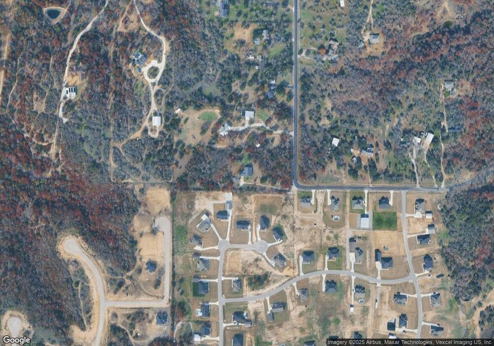
Map
Nearby Homes
- 1089 Flagstone Dr
- 5017 Freestone Dr
- 128 Oak Meadow Ln
- 143 Oak Meadow Ln
- 1020 Boulder Rd
- 357 Mastadon Way
- 1009 Boulder Rd
- 7243 Veal Station Rd
- The Wilder Plan at Brooks Meadow
- The Ryder Plan at Brooks Meadow
- The Curran Plan at Brooks Meadow
- The Bennett Plan at Brooks Meadow
- The Jackson Plan at Brooks Meadow
- The Hunter Plan at Brooks Meadow
- The Aylin Plan at Brooks Meadow
- The Wellington II Plan at Brooks Meadow
- 683 Bent Tree Ln
- The Greyson II Plan at Brooks Meadow
- 687 Bent Tree Ln
- 174 Scott Ln
- 1105 Flagstone Dr
- 1101 Flagstone Dr
- 1097 Flagstone Dr
- 1093 Flagstone Dr
- 7500 High View Rd
- 1109 Flagstone Dr
- 1809 Flagstone Dr
- 317 Forest Trail
- 1084 Flagstone Dr
- 7508 High View Rd
- 6009 Embercrest Dr
- 1085 Flagstone Dr
- 7516 High View Rd
- 6013 Embercrest Dr
- 7509 High View Rd
- 1081 Flagstone Dr
- 6008 Embercrest Dr
- 6004 Embercrest Dr
- 325 Forest Trail
- 6012 Embercrest Dr