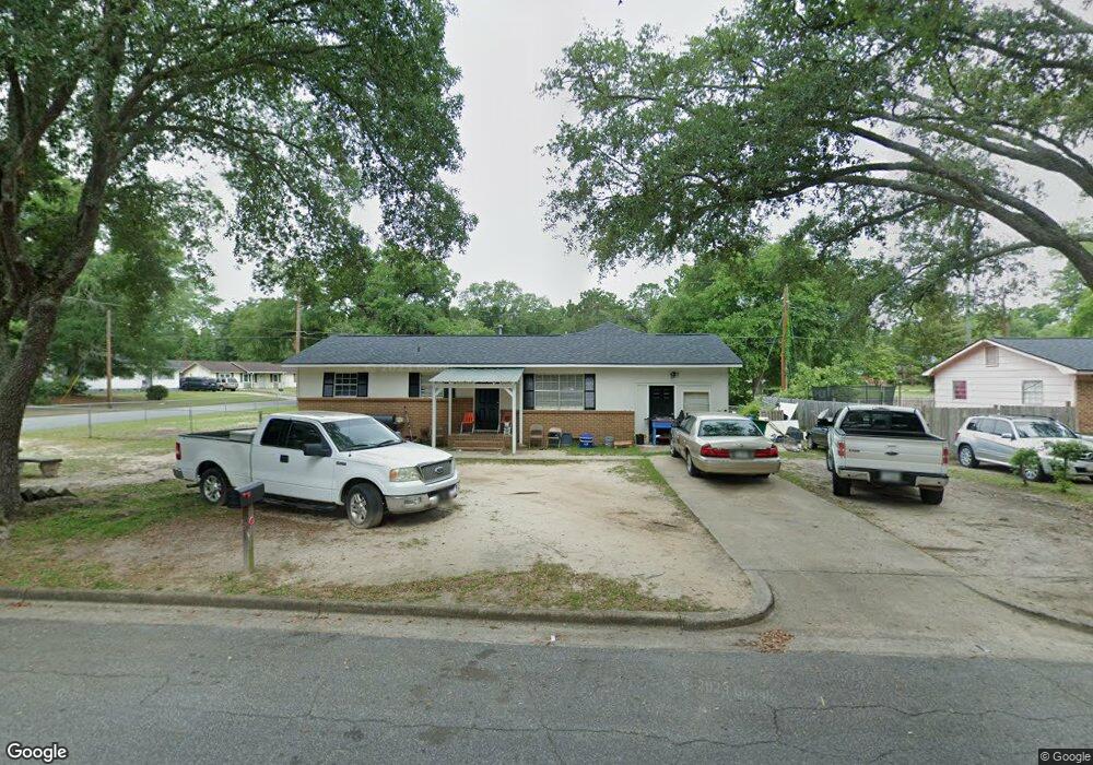
301 Forrestal Ln Albany, GA 31705
Estimated Value: $56,000 - $97,000
3
Beds
2
Baths
1,949
Sq Ft
$42/Sq Ft
Est. Value
About This Home
This home is located at 301 Forrestal Ln, Albany, GA 31705 and is currently estimated at $82,038, approximately $42 per square foot. 301 Forrestal Ln is a home located in Dougherty County with nearby schools including Turner Elementary School, Albany Middle School, and Radium Springs Middle School.
Ownership History
Date
Name
Owned For
Owner Type
Purchase Details
Closed on
Sep 30, 2019
Sold by
Henderson Michael
Bought by
Bonnies Blue Star Investments Llc
Current Estimated Value
Purchase Details
Closed on
Aug 15, 2006
Sold by
Henderson Michael
Bought by
Delcambre David
Purchase Details
Closed on
Mar 1, 2005
Sold by
Hosley Gloria
Bought by
Centex Home Equity Co Llc
Purchase Details
Closed on
Feb 18, 1997
Sold by
Holsey Theodore
Bought by
Holsey Gloria
Purchase Details
Closed on
Jul 28, 1992
Sold by
Holsey Gloria H
Bought by
Holsey Theodorre
Purchase Details
Closed on
Jan 19, 1977
Sold by
Housing & Urban Dev
Bought by
Holsey Theodore
Create a Home Valuation Report for This Property
The Home Valuation Report is an in-depth analysis detailing your home's value as well as a comparison with similar homes in the area
Home Values in the Area
Average Home Value in this Area
Purchase History
| Date | Buyer | Sale Price | Title Company |
|---|---|---|---|
| Bonnies Blue Star Investments Llc | -- | -- | |
| Delcambre David | $16,936 | -- | |
| Henderson Michael | $33,000 | -- | |
| Centex Home Equity Co Llc | $72,537 | -- | |
| Holsey Gloria | -- | -- | |
| Holsey Theodorre | -- | -- | |
| Holsey Theodore | -- | -- |
Source: Public Records
Mortgage History
| Date | Status | Borrower | Loan Amount |
|---|---|---|---|
| Closed | Henderson Michael | $0 |
Source: Public Records
Tax History Compared to Growth
Tax History
| Year | Tax Paid | Tax Assessment Tax Assessment Total Assessment is a certain percentage of the fair market value that is determined by local assessors to be the total taxable value of land and additions on the property. | Land | Improvement |
|---|---|---|---|---|
| 2024 | $1,269 | $26,600 | $2,200 | $24,400 |
| 2023 | $1,239 | $26,600 | $2,200 | $24,400 |
| 2022 | $1,244 | $26,600 | $2,200 | $24,400 |
| 2021 | $1,153 | $26,600 | $2,200 | $24,400 |
| 2020 | $1,156 | $26,600 | $2,200 | $24,400 |
| 2019 | $1,160 | $26,600 | $2,200 | $24,400 |
| 2018 | $1,165 | $26,600 | $2,200 | $24,400 |
| 2017 | $1,085 | $26,600 | $2,200 | $24,400 |
| 2016 | $1,086 | $26,600 | $2,200 | $24,400 |
| 2015 | $1,089 | $26,600 | $2,200 | $24,400 |
| 2014 | $1,075 | $26,600 | $2,200 | $24,400 |
Source: Public Records
Map
Nearby Homes
- 308 Forrestal Ln
- 2725 Yorktown Ave
- 2529 Cherokee Dr
- 2731 Yorktown Ave
- 2523 Cherokee Dr
- 148 Force Dr
- 2802 Banks Ave
- 234 Cone St
- 410 Johnson Rd
- 3007 E Park Ct
- 405 Pine Bluff Rd
- 513 Johnson Rd
- 306 Elsom St
- 2215 E Broad Ave
- 307 Acorn St
- 309 Acorn St
- 2921 Madeline Rd
- 2006 Keystone Ave
- 2004 Keystone Ave
- 119 N West Rd
- 303 Forrestal Ln
- 312 Independence Dr
- 300 Forrestal Ln
- 305 Forrestal Ln
- 303 Independence Dr
- 307 Independence Dr
- 301 Independence Dr
- 301 Lexington Dr
- 309 Independence Dr
- 209 Lexington Dr
- 318 Independence Dr
- 303 Lexington Dr
- 306 Forrestal Ln
- 315 Independence Dr
- 207 Lexington Dr
- 305 Lexington Dr
- 317 Independence Dr
- 320 Independence Dr
- 307 Lexington Dr
- 205 Lexington Dr