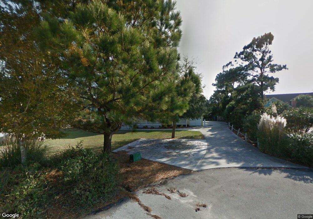
301 Friendship Ct Emerald Isle, NC 28594
Estimated Value: $888,609 - $1,251,000
3
Beds
4
Baths
2,652
Sq Ft
$423/Sq Ft
Est. Value
About This Home
This home is located at 301 Friendship Ct, Emerald Isle, NC 28594 and is currently estimated at $1,122,652, approximately $423 per square foot. 301 Friendship Ct is a home located in Carteret County with nearby schools including White Oak Elementary School, Broad Creek Middle School, and Croatan High School.
Ownership History
Date
Name
Owned For
Owner Type
Purchase Details
Closed on
Feb 21, 2011
Sold by
Brantley William B and Brantley Patricia M
Bought by
Tripp Graydon W and Tripp Melba Rhue
Current Estimated Value
Home Financials for this Owner
Home Financials are based on the most recent Mortgage that was taken out on this home.
Original Mortgage
$324,000
Outstanding Balance
$220,438
Interest Rate
4.66%
Mortgage Type
Unknown
Estimated Equity
$902,214
Purchase Details
Closed on
Sep 6, 2001
Create a Home Valuation Report for This Property
The Home Valuation Report is an in-depth analysis detailing your home's value as well as a comparison with similar homes in the area
Home Values in the Area
Average Home Value in this Area
Purchase History
| Date | Buyer | Sale Price | Title Company |
|---|---|---|---|
| Tripp Graydon W | $405,000 | None Available | |
| -- | $75,000 | -- |
Source: Public Records
Mortgage History
| Date | Status | Borrower | Loan Amount |
|---|---|---|---|
| Open | Tripp Graydon W | $324,000 |
Source: Public Records
Tax History Compared to Growth
Tax History
| Year | Tax Paid | Tax Assessment Tax Assessment Total Assessment is a certain percentage of the fair market value that is determined by local assessors to be the total taxable value of land and additions on the property. | Land | Improvement |
|---|---|---|---|---|
| 2025 | $3,234 | $848,801 | $361,980 | $486,821 |
| 2024 | $2,860 | $487,554 | $237,096 | $250,458 |
| 2023 | $2,772 | $487,554 | $237,096 | $250,458 |
| 2022 | $2,703 | $487,554 | $237,096 | $250,458 |
| 2021 | $2,645 | $487,554 | $237,096 | $250,458 |
| 2020 | $2,635 | $487,554 | $237,096 | $250,458 |
| 2019 | $1,374 | $438,527 | $171,894 | $266,633 |
| 2017 | $1,374 | $438,527 | $171,894 | $266,633 |
| 2016 | $1,374 | $438,527 | $171,894 | $266,633 |
| 2015 | $1,331 | $438,527 | $171,894 | $266,633 |
| 2014 | $1,484 | $489,672 | $182,900 | $306,772 |
Source: Public Records
Map
Nearby Homes
- 302 Friendship Ct
- 202 Shipwreck Ln
- 302 Governor Safford Ln
- 9715 Poseidon Rd
- 200 Windjammer E
- 200 Shipwreck Ln
- 101 Windjammer
- 9707 Poseidon Rd
- 205 Albatross Ct
- 9814 Clarendon Dr
- 10002 Coast Guard Rd
- 9706 Ashley Place
- 9704 Ashley Place
- 9920 Bluff Rd
- 200 Pelican Point Ct
- 9711 Dolphin Ridge Rd
- 112 Page Place
- 307 Cape Fear Loop
- 9519 Ocean Dr Unit E & W
- 107 Ocean Oaks Dr
- 303 Friendship Ct
- 304 Friendship Ct
- 309 Shipwreck Ln
- 319 Shipwreck Ln
- 321 Shipwreck Ln
- 212 Shipwreck Ln
- 9902 Thistleroy Ln
- 300 Friendship Ct
- 208 Shipwreck Ln
- 209 Shipwreck Ln
- 9903 Thistleroy Ln
- 311 Governor Safford Ln
- 9904 Thistleroy Ln
- 313 Governor Safford Ln
- 305 Shipwreck Ln
- 9906 Colonel Hansen Ct
- 207 Shipwreck Ln
- 9909 Thistleroy Ln
- 9913 Thistleroy Ln
- 206 Aberlady