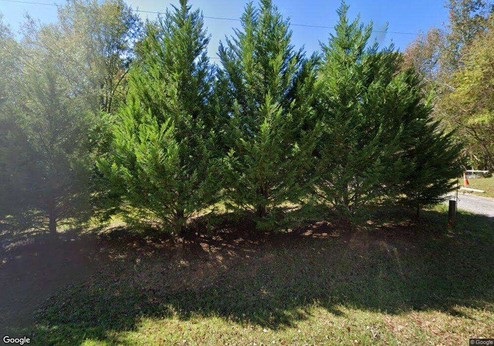
301 Frontier Rd Enoree, SC 29335
Estimated Value: $202,000 - $304,000
3
Beds
2
Baths
1,404
Sq Ft
$177/Sq Ft
Est. Value
About This Home
This home is located at 301 Frontier Rd, Enoree, SC 29335 and is currently estimated at $248,115, approximately $176 per square foot. 301 Frontier Rd is a home with nearby schools including Woodruff Primary School, Woodruff Elementary School, and Woodruff Middle School.
Ownership History
Date
Name
Owned For
Owner Type
Purchase Details
Closed on
Sep 22, 2006
Sold by
Sara H Dunaway Estate
Bought by
Mcalister Patrick O
Current Estimated Value
Home Financials for this Owner
Home Financials are based on the most recent Mortgage that was taken out on this home.
Original Mortgage
$87,087
Outstanding Balance
$51,698
Interest Rate
6.46%
Mortgage Type
FHA
Estimated Equity
$196,417
Purchase Details
Closed on
Jan 12, 2006
Sold by
Dunaway Sara Hughes
Bought by
Dunaway Sara Hughes and Dunaway Betty Diana
Purchase Details
Closed on
Feb 23, 2004
Sold by
Dunaway Sara H
Bought by
Dunaway Sara H
Create a Home Valuation Report for This Property
The Home Valuation Report is an in-depth analysis detailing your home's value as well as a comparison with similar homes in the area
Home Values in the Area
Average Home Value in this Area
Purchase History
| Date | Buyer | Sale Price | Title Company |
|---|---|---|---|
| Mcalister Patrick O | $88,500 | Hanover Title Agency | |
| Dunaway Sara Hughes | -- | None Available | |
| Dunaway Sara H | -- | -- |
Source: Public Records
Mortgage History
| Date | Status | Borrower | Loan Amount |
|---|---|---|---|
| Open | Mcalister Patrick O | $87,087 |
Source: Public Records
Tax History Compared to Growth
Tax History
| Year | Tax Paid | Tax Assessment Tax Assessment Total Assessment is a certain percentage of the fair market value that is determined by local assessors to be the total taxable value of land and additions on the property. | Land | Improvement |
|---|---|---|---|---|
| 2025 | $891 | $5,197 | $1,704 | $3,493 |
| 2024 | $891 | $5,197 | $1,704 | $3,493 |
| 2023 | $891 | $5,197 | $1,704 | $3,493 |
| 2022 | $698 | $4,518 | $1,452 | $3,066 |
| 2021 | $698 | $4,518 | $1,452 | $3,066 |
| 2020 | $637 | $4,518 | $1,452 | $3,066 |
| 2019 | $646 | $4,518 | $1,452 | $3,066 |
| 2018 | $132 | $4,518 | $1,452 | $3,066 |
| 2017 | $197 | $4,742 | $1,678 | $3,064 |
| 2016 | $197 | $4,742 | $1,678 | $3,064 |
| 2015 | $604 | $4,566 | $1,678 | $2,888 |
| 2014 | $602 | $4,566 | $1,678 | $2,888 |
Source: Public Records
Map
Nearby Homes
- 00 Frontier Rd
- 709 Hadley Place Unit AA 64 Dawson A
- 709 Hadley Place
- 491 Adhurst Dr
- 491 Adhurst Dr Unit AA 60 Inlet B
- 717 Adhurst Dr
- 495 Adhurst Dr Unit AA 61 Davenport C
- 709 Adhurst Dr
- 495 Adhurst Dr
- 717 Hadley Place
- 717 Hadley Place Unit AA 66 Forsyth E
- Davenport Plan at Arrowood Acres
- VAIL Plan at Arrowood Acres
- TIMBERWOOD Plan at Arrowood Acres
- KENNEDY Plan at Arrowood Acres
- Dawson Plan at Arrowood Acres
- Forsyth Plan at Arrowood Acres
- WELLINGTON Plan at Arrowood Acres
- Inlet Plan at Arrowood Acres
- 0 S 256
- 333 Frontier Rd
- 0 Sumner Rd
- 190 Burgess Rd
- 165 Frontier Rd
- 451 Frontier Rd
- 461 Frontier Rd
- 1740 Rocky Ridge Rd
- 1720 Rocky Ridge Rd
- 1151 Liberty Ridge Rd
- 1191 State Road S-42-420
- 1161 Liberty Ridge Rd
- 1750 Rocky Ridge Rd
- 1760 Rocky Ridge Rd
- 1680 Rocky Ridge Rd
- 1670 Rocky Ridge Rd
- 1820 Rocky Ridge Rd
- 660 Old Rock Quarry Rd
- 1550 Rocky Ridge Rd
- 2031 Highway 92
- 1830 Rocky Ridge Rd
