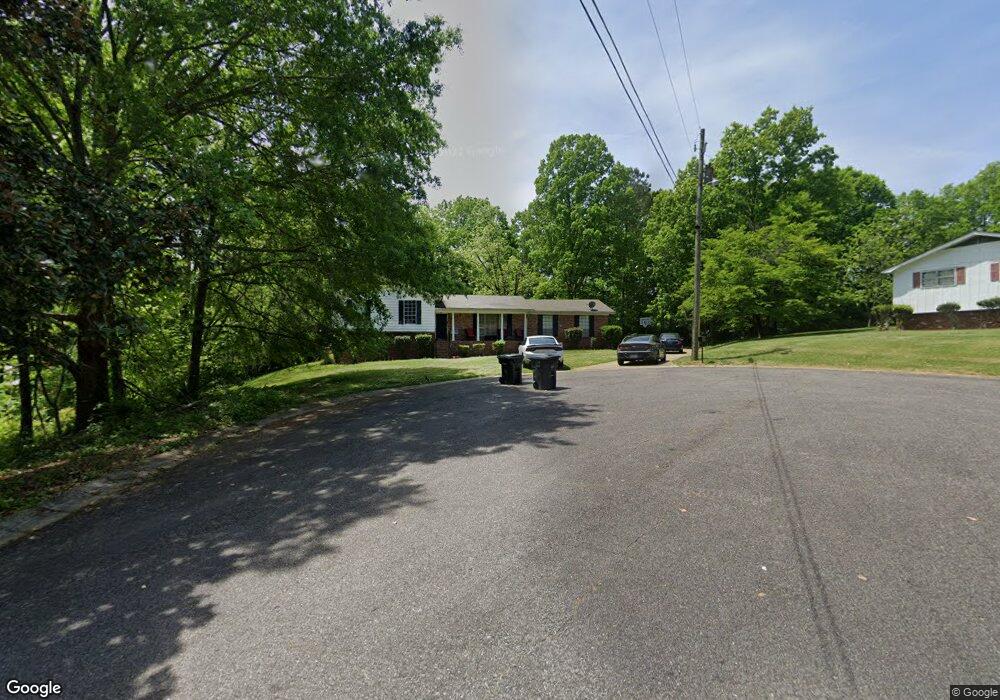
301 Ginger Dr NE Center Point, AL 35215
Estimated Value: $175,000 - $221,000
3
Beds
3
Baths
1,475
Sq Ft
$131/Sq Ft
Est. Value
About This Home
This home is located at 301 Ginger Dr NE, Center Point, AL 35215 and is currently estimated at $193,035, approximately $130 per square foot. 301 Ginger Dr NE is a home located in Jefferson County with nearby schools including Center Point Elementary School, Erwin Elementary School, and Erwin Middle School.
Ownership History
Date
Name
Owned For
Owner Type
Purchase Details
Closed on
May 8, 2014
Sold by
Nathan William C
Bought by
Tolbert Tyrone T
Current Estimated Value
Purchase Details
Closed on
May 23, 2003
Sold by
Mcafee Wanda W
Bought by
Nathan William C and Nathan Galsomenia L
Home Financials for this Owner
Home Financials are based on the most recent Mortgage that was taken out on this home.
Original Mortgage
$119,700
Interest Rate
5.81%
Mortgage Type
Unknown
Create a Home Valuation Report for This Property
The Home Valuation Report is an in-depth analysis detailing your home's value as well as a comparison with similar homes in the area
Home Values in the Area
Average Home Value in this Area
Purchase History
| Date | Buyer | Sale Price | Title Company |
|---|---|---|---|
| Tolbert Tyrone T | $10,000 | -- | |
| Tolbert Tyrone T | $10,000 | -- | |
| Nathan William C | $126,000 | -- |
Source: Public Records
Mortgage History
| Date | Status | Borrower | Loan Amount |
|---|---|---|---|
| Previous Owner | Nathan William C | $119,700 |
Source: Public Records
Tax History Compared to Growth
Tax History
| Year | Tax Paid | Tax Assessment Tax Assessment Total Assessment is a certain percentage of the fair market value that is determined by local assessors to be the total taxable value of land and additions on the property. | Land | Improvement |
|---|---|---|---|---|
| 2024 | $2,198 | $45,260 | -- | -- |
| 2022 | $1,949 | $35,640 | $4,200 | $31,440 |
| 2021 | $1,765 | $32,040 | $4,200 | $27,840 |
| 2020 | $1,652 | $29,980 | $4,200 | $25,780 |
| 2019 | $1,652 | $29,980 | $0 | $0 |
| 2018 | $1,413 | $25,640 | $0 | $0 |
| 2017 | $1,413 | $25,640 | $0 | $0 |
| 2016 | $1,254 | $25,020 | $0 | $0 |
| 2015 | $1,427 | $28,480 | $0 | $0 |
| 2014 | $624 | $26,840 | $0 | $0 |
| 2013 | $624 | $26,840 | $0 | $0 |
Source: Public Records
Map
Nearby Homes
- 309 20th Ave NE
- 1839 Mara Dr
- 104 20th Ave NE
- 116 21st Ave NE Unit 37
- 1836 1st St NE
- 2027 Center Point Pkwy
- 421 19th Terrace NE
- 1798 Reed Rd NE
- 416 20th Ct NE
- 5 21st Ct NW
- 2236 2nd Place NE
- 17 19th Ave NW
- 500 20th Ave NE
- 109 21st Ave NW
- 2910 1st St NW
- 513 20th Ave NE
- 110 21st Ave NW
- 112 19th Ave NW
- 133 16th Terrace NE
- 2305 2nd St NE
- 300 Kimbo Dr
- 300 Ginger Dr NE
- 304 Kimbo Dr
- 309 Ginger Dr NE
- 304 Ginger Dr NE
- 308 Kimbo Dr
- 308 Ginger Dr NE
- 317 Ginger Dr NE
- 301 Kimbo Dr
- 217 20th Ave NE
- 305 Kimbo Dr
- 325 Ginger Dr NE
- 1951 E Bend Cir
- 309 Kimbo Dr
- 312 Ginger Dr NE
- 313 Kimbo Dr
- 225 20th Ave NE
- 316 Ginger Dr NE
- 304 Melanie Dr
- 317 Kimbo Dr