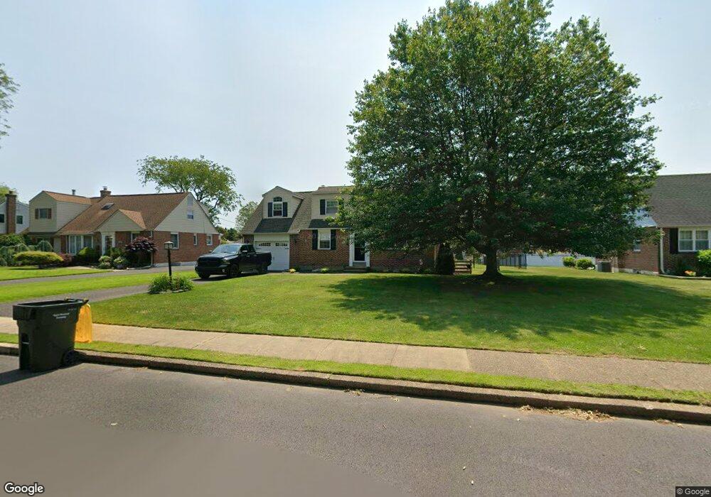
301 Hampton Rd Hatboro, PA 19040
Estimated Value: $459,000 - $478,000
3
Beds
2
Baths
1,880
Sq Ft
$251/Sq Ft
Est. Value
About This Home
This home is located at 301 Hampton Rd, Hatboro, PA 19040 and is currently estimated at $471,508, approximately $250 per square foot. 301 Hampton Rd is a home located in Montgomery County with nearby schools including Upper Moreland Intermediate School, Upper Moreland Primary School, and Upper Moreland Middle School.
Ownership History
Date
Name
Owned For
Owner Type
Purchase Details
Closed on
Jun 28, 2023
Sold by
Molt Jane
Bought by
Molt Christopher and Molt Maria
Current Estimated Value
Purchase Details
Closed on
Nov 17, 2009
Sold by
Molt Jane S and Molt Carl A
Bought by
Molt Jane S
Home Financials for this Owner
Home Financials are based on the most recent Mortgage that was taken out on this home.
Original Mortgage
$66,252
Interest Rate
5.06%
Create a Home Valuation Report for This Property
The Home Valuation Report is an in-depth analysis detailing your home's value as well as a comparison with similar homes in the area
Home Values in the Area
Average Home Value in this Area
Purchase History
| Date | Buyer | Sale Price | Title Company |
|---|---|---|---|
| Molt Christopher | -- | None Listed On Document | |
| Molt Jane S | -- | None Available |
Source: Public Records
Mortgage History
| Date | Status | Borrower | Loan Amount |
|---|---|---|---|
| Previous Owner | Molt Jane S | $66,252 |
Source: Public Records
Tax History
| Year | Tax Paid | Tax Assessment Tax Assessment Total Assessment is a certain percentage of the fair market value that is determined by local assessors to be the total taxable value of land and additions on the property. | Land | Improvement |
|---|---|---|---|---|
| 2025 | $6,724 | $141,480 | -- | -- |
| 2024 | $6,724 | $141,480 | -- | -- |
| 2023 | $6,445 | $141,480 | $0 | $0 |
| 2022 | $6,445 | $141,480 | $0 | $0 |
| 2021 | $5,980 | $141,480 | $0 | $0 |
| 2020 | $5,783 | $141,480 | $0 | $0 |
| 2019 | $5,656 | $141,480 | $0 | $0 |
Source: Public Records
Map
Nearby Homes
- 501 Windover Rd
- 201 Castello Ave
- 2703 Parkside Ave
- 2411 Horsham Rd
- 2625 Horsham Rd
- 142 Greenbelt Dr
- 315 Summer Ave
- 42 Russell Rd
- 165 W Moreland Ave
- 604 Fairhill St
- 258 Garden Ave
- 229 Warren St
- 233a Milton Ave
- 474 Easton Rd
- 227 Milton Ave
- 213 Green Lane Terrace
- 237 Byberry Rd
- 22 Fitzwatertown Rd Unit C-8
- 330 Windsor Ave
- 515 N York Rd Unit 1C
- 303 Hampton Rd
- 215 Hampton Rd
- 305 Hampton Rd
- 213 Hampton Rd
- 618 Orchard Way
- 620 Orchard Way
- 616 Orchard Way
- 622 Orchard Way
- 614 Orchard Way
- 307 Hampton Rd
- 300 Hampton Rd
- 302 Hampton Rd
- 218 Hampton Rd
- 211 Hampton Rd
- 612 Orchard Way
- 304 Hampton Rd
- 216 Hampton Rd
- 700 Orchard Way
- 309 Hampton Rd
- 306 Hampton Rd
Your Personal Tour Guide
Ask me questions while you tour the home.