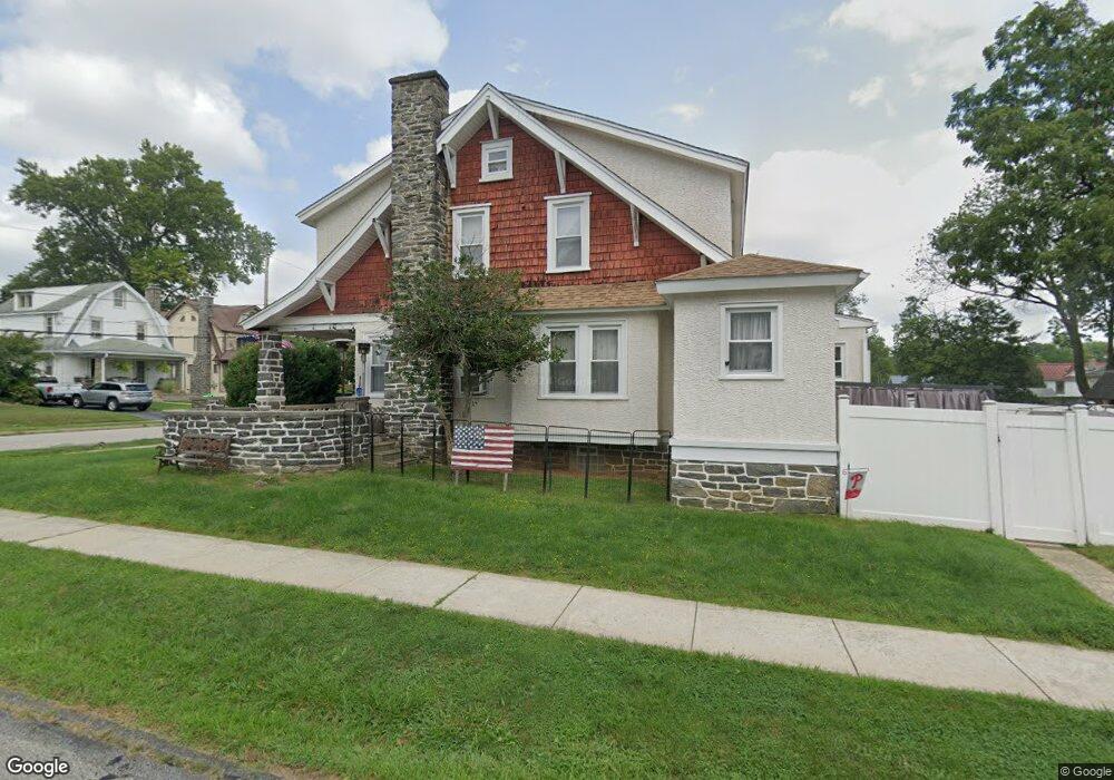
301 Kenmore Rd Havertown, PA 19083
Estimated Value: $332,000 - $602,000
4
Beds
2
Baths
1,972
Sq Ft
$257/Sq Ft
Est. Value
About This Home
This home is located at 301 Kenmore Rd, Havertown, PA 19083 and is currently estimated at $506,024, approximately $256 per square foot. 301 Kenmore Rd is a home located in Delaware County with nearby schools including Chatham Park Elementary School, Haverford Middle School, and Haverford Senior High School.
Ownership History
Date
Name
Owned For
Owner Type
Purchase Details
Closed on
Mar 17, 2023
Sold by
Lawson Robert Jan
Bought by
Seidt Matthew and Seidt Megan L
Current Estimated Value
Home Financials for this Owner
Home Financials are based on the most recent Mortgage that was taken out on this home.
Original Mortgage
$116,000
Outstanding Balance
$112,352
Interest Rate
6.12%
Mortgage Type
New Conventional
Estimated Equity
$393,672
Purchase Details
Closed on
Aug 23, 2012
Sold by
Lawson Robert Jan
Bought by
Lawson Robert Jan and Lawson Patricia
Create a Home Valuation Report for This Property
The Home Valuation Report is an in-depth analysis detailing your home's value as well as a comparison with similar homes in the area
Home Values in the Area
Average Home Value in this Area
Purchase History
| Date | Buyer | Sale Price | Title Company |
|---|---|---|---|
| Seidt Matthew | $180,000 | -- | |
| Lawson Robert Jan | -- | None Available |
Source: Public Records
Mortgage History
| Date | Status | Borrower | Loan Amount |
|---|---|---|---|
| Open | Seidt Matthew | $116,000 |
Source: Public Records
Tax History
| Year | Tax Paid | Tax Assessment Tax Assessment Total Assessment is a certain percentage of the fair market value that is determined by local assessors to be the total taxable value of land and additions on the property. | Land | Improvement |
|---|---|---|---|---|
| 2025 | $8,386 | $326,130 | $99,890 | $226,240 |
| 2024 | $8,386 | $326,130 | $99,890 | $226,240 |
| 2023 | $8,147 | $326,130 | $99,890 | $226,240 |
| 2022 | $7,957 | $326,130 | $99,890 | $226,240 |
| 2021 | $12,963 | $326,130 | $99,890 | $226,240 |
| 2020 | $6,435 | $138,460 | $50,580 | $87,880 |
| 2019 | $6,317 | $138,460 | $50,580 | $87,880 |
| 2018 | $6,208 | $138,460 | $0 | $0 |
| 2017 | $6,077 | $138,460 | $0 | $0 |
| 2016 | $760 | $138,460 | $0 | $0 |
| 2015 | $775 | $138,460 | $0 | $0 |
| 2014 | $775 | $138,460 | $0 | $0 |
Source: Public Records
Map
Nearby Homes
- 210 Farnham Rd
- 1108 Allston Rd
- 530 Kenmore Rd
- 137 Strathmore Rd
- 530 E Manoa Rd
- 216 Brentwood Rd
- 1622 Winton Ave
- 1217 Larchmont Ave
- 672 Lawson Ave
- 40 Fulmer Ave
- 636 Woodland Dr
- 26 E Turnbull Ave
- 118 Princeton Rd
- 104 Brentwood Rd
- 231 Hastings Ave
- 221 E Park Rd
- 110 E Township Line Rd
- 447 W Chester Pike
- 2058 Bellemead Ave
- 24 Upland Rd
Your Personal Tour Guide
Ask me questions while you tour the home.