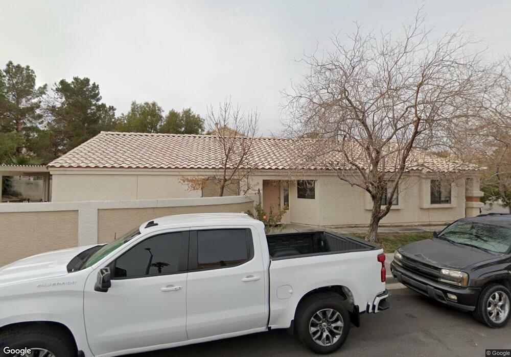
301 Lander Dr Unit 4A Henderson, NV 89074
Green Valley North NeighborhoodEstimated Value: $419,000 - $464,277
3
Beds
2
Baths
1,493
Sq Ft
$295/Sq Ft
Est. Value
About This Home
This home is located at 301 Lander Dr Unit 4A, Henderson, NV 89074 and is currently estimated at $440,069, approximately $294 per square foot. 301 Lander Dr Unit 4A is a home located in Clark County with nearby schools including David M Cox Elementary School, Barbara and Hank Greenspun Junior High School, and Silverado High School.
Ownership History
Date
Name
Owned For
Owner Type
Purchase Details
Closed on
May 22, 2018
Sold by
Temple Robert V and Temple Tammy C
Bought by
Petito Michael Stephen
Current Estimated Value
Home Financials for this Owner
Home Financials are based on the most recent Mortgage that was taken out on this home.
Original Mortgage
$252,200
Outstanding Balance
$215,275
Interest Rate
4.4%
Mortgage Type
New Conventional
Estimated Equity
$224,794
Purchase Details
Closed on
Dec 26, 2012
Sold by
Temple Robert V and Temple Tammy C
Bought by
Temple Robert and Temple Tammy C
Home Financials for this Owner
Home Financials are based on the most recent Mortgage that was taken out on this home.
Original Mortgage
$247,590
Interest Rate
3.27%
Mortgage Type
New Conventional
Purchase Details
Closed on
Jun 24, 2004
Sold by
Sorensen Jayne E and Kyes Karin E
Bought by
Temple Robert and Temple Tammy C
Home Financials for this Owner
Home Financials are based on the most recent Mortgage that was taken out on this home.
Original Mortgage
$280,250
Interest Rate
6.29%
Mortgage Type
Unknown
Purchase Details
Closed on
Jun 23, 2004
Sold by
Kyes Larry E
Bought by
Kyes Karin E
Home Financials for this Owner
Home Financials are based on the most recent Mortgage that was taken out on this home.
Original Mortgage
$280,250
Interest Rate
6.29%
Mortgage Type
Unknown
Purchase Details
Closed on
Jun 22, 2004
Sold by
Sorensen Gary
Bought by
Sorensen Jayne E
Home Financials for this Owner
Home Financials are based on the most recent Mortgage that was taken out on this home.
Original Mortgage
$280,250
Interest Rate
6.29%
Mortgage Type
Unknown
Purchase Details
Closed on
Mar 15, 2004
Sold by
Sorensen Jayne E and Kyes Karin E
Bought by
Sorensen Jayne E and Kyes Karin E
Purchase Details
Closed on
Dec 19, 2003
Sold by
Echelini Richard E
Bought by
Echelini Richard E and Sorensen Jayne
Create a Home Valuation Report for This Property
The Home Valuation Report is an in-depth analysis detailing your home's value as well as a comparison with similar homes in the area
Home Values in the Area
Average Home Value in this Area
Purchase History
| Date | Buyer | Sale Price | Title Company |
|---|---|---|---|
| Petito Michael Stephen | $260,000 | Lawyers Title Henderson | |
| Pellegrino Colby N | -- | Lawyers Title Henderson | |
| Temple Robert | -- | Ticor Title Las Vegas | |
| Pellergino Colby N | -- | Ticor Title Las Vegas | |
| Temple Robert | $295,000 | Ticor Title Of Nevada Inc | |
| Kyes Karin E | -- | Ticor Title Of Nevada Inc | |
| Sorensen Jayne E | -- | Ticor Title Of Nevada Inc | |
| Sorensen Jayne E | -- | -- | |
| Echelini Richard E | -- | -- |
Source: Public Records
Mortgage History
| Date | Status | Borrower | Loan Amount |
|---|---|---|---|
| Open | Petito Michael Stephen | $252,200 | |
| Previous Owner | Temple Robert | $247,590 | |
| Previous Owner | Temple Robert | $280,250 |
Source: Public Records
Tax History
| Year | Tax Paid | Tax Assessment Tax Assessment Total Assessment is a certain percentage of the fair market value that is determined by local assessors to be the total taxable value of land and additions on the property. | Land | Improvement |
|---|---|---|---|---|
| 2026 | $3,005 | $109,796 | $37,100 | $72,696 |
| 2025 | $2,782 | $112,301 | $37,100 | $75,201 |
| 2024 | $2,577 | $112,301 | $37,100 | $75,201 |
| 2023 | $2,577 | $102,456 | $31,150 | $71,306 |
| 2022 | $2,386 | $95,519 | $29,330 | $66,189 |
| 2021 | $2,209 | $89,329 | $26,250 | $63,079 |
| 2020 | $2,049 | $88,770 | $25,900 | $62,870 |
| 2019 | $1,920 | $83,381 | $21,000 | $62,381 |
| 2018 | $1,832 | $80,276 | $19,600 | $60,676 |
| 2017 | $2,366 | $81,637 | $19,600 | $62,037 |
| 2016 | $1,716 | $67,098 | $12,250 | $54,848 |
| 2015 | $1,499 | $60,390 | $9,800 | $50,590 |
| 2014 | $1,453 | $48,654 | $8,750 | $39,904 |
Source: Public Records
Map
Nearby Homes
- 2775 Red Vista Ct
- 2792 Fountain Ridge Ln
- 337 Washoe Way
- 2673 Ridgewater Cir
- 2737 Briarcliff Ave
- 7483 Forestdale Ct
- 3120 E Eldorado Ln
- 2738 Turtlebay Ave
- 2926 E Eldorado Ln
- 367 Keating St
- 2605 Summerview Place
- 2601 Summerview Place
- 240 Highgate St
- 2816 Via Florentine St
- 239 Highgate St
- 3221 Montecito Dr
- 2838 Via Stella St
- 332 Cavalla St
- 7258 Loma Alta Cir
- 2842 Via Florentine St
- 303 Lander Dr
- 305 Lander Dr
- 2650 Churchill Cir
- 2648 White Pine Dr
- 2652 Churchill Cir
- 307 Lander Dr
- 2654 Churchill Cir
- 302 Lander Dr
- 302 Lander Dr Unit house
- 302 Lander Dr Unit n/a
- 304 Lander Dr
- 2646 White Pine Dr
- 2649 Pershing Cir
- 309 Lander Dr
- 2656 Churchill Cir
- 306 Lander Dr
- 308 Lander Dr
- 2647 Pershing Cir
- 2658 Churchill Cir Unit none
- 2658 Churchill Cir
Your Personal Tour Guide
Ask me questions while you tour the home.