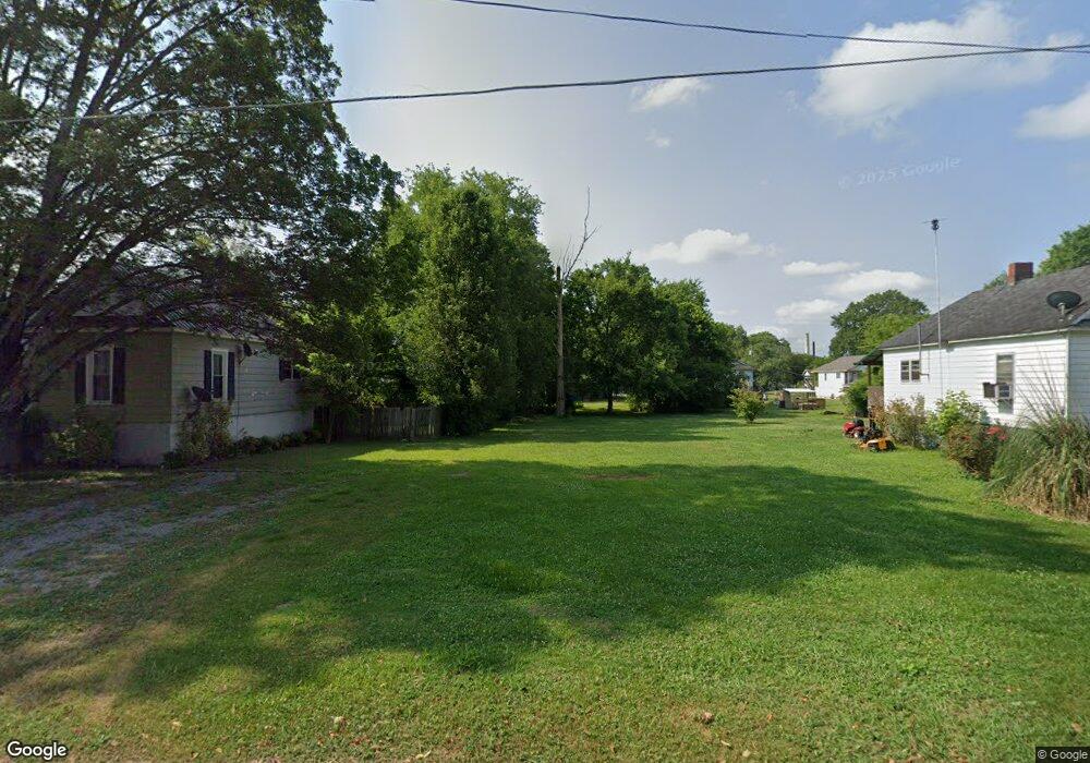
301 Lee Ave Chickamauga, GA 30707
Estimated Value: $142,739 - $184,000
2
Beds
1
Bath
808
Sq Ft
$202/Sq Ft
Est. Value
About This Home
This home is located at 301 Lee Ave, Chickamauga, GA 30707 and is currently estimated at $163,435, approximately $202 per square foot. 301 Lee Ave is a home located in Walker County with nearby schools including Chickamauga Elementary School, Gordon Lee Middle School, and Gordon Lee High School.
Ownership History
Date
Name
Owned For
Owner Type
Purchase Details
Closed on
May 19, 2000
Sold by
Hamilton W A
Bought by
Hamilton Vickie Lynn
Current Estimated Value
Purchase Details
Closed on
Oct 1, 1982
Sold by
Potts Hoyt E and Karen Ann
Bought by
Hamilton W A
Purchase Details
Closed on
May 21, 1979
Sold by
Taylor John H
Bought by
Potts Hoyt E and Karen Ann
Purchase Details
Closed on
Apr 15, 1977
Sold by
Beam Milton S and Beam Doris A
Bought by
Taylor John H
Purchase Details
Closed on
Mar 1, 1972
Sold by
Autry Melvin L
Bought by
Beam Milton S and Beam Doris A
Purchase Details
Closed on
Jan 1, 1972
Bought by
Autry Melvin L
Create a Home Valuation Report for This Property
The Home Valuation Report is an in-depth analysis detailing your home's value as well as a comparison with similar homes in the area
Home Values in the Area
Average Home Value in this Area
Purchase History
| Date | Buyer | Sale Price | Title Company |
|---|---|---|---|
| Hamilton Vickie Lynn | -- | -- | |
| Hamilton W A | $15,500 | -- | |
| Potts Hoyt E | -- | -- | |
| Taylor John H | -- | -- | |
| Beam Milton S | -- | -- | |
| Autry Melvin L | -- | -- |
Source: Public Records
Tax History Compared to Growth
Tax History
| Year | Tax Paid | Tax Assessment Tax Assessment Total Assessment is a certain percentage of the fair market value that is determined by local assessors to be the total taxable value of land and additions on the property. | Land | Improvement |
|---|---|---|---|---|
| 2024 | $902 | $44,268 | $10,080 | $34,188 |
| 2023 | $887 | $42,486 | $10,080 | $32,406 |
| 2022 | $444 | $37,690 | $10,080 | $27,610 |
| 2021 | $383 | $26,514 | $10,080 | $16,434 |
| 2020 | $378 | $23,725 | $10,080 | $13,645 |
| 2019 | $379 | $23,725 | $10,080 | $13,645 |
| 2018 | $311 | $23,725 | $10,080 | $13,645 |
| 2017 | $458 | $23,725 | $10,080 | $13,645 |
| 2016 | $312 | $18,608 | $10,080 | $8,528 |
| 2015 | $364 | $20,314 | $3,152 | $17,162 |
| 2014 | $277 | $20,314 | $3,152 | $17,162 |
| 2013 | -- | $20,314 | $3,152 | $17,162 |
Source: Public Records
Map
Nearby Homes
- 8 W 8th St
- 910 Crittenden Ave
- 909 Stewart Ave
- 5 S Orchard Dr
- 107 Wilder Ave
- 16 Euclid Ave
- 400 Gordon St
- 111 Clebourne Ave
- 138 Dana Ln
- 406 E 16th St
- 301 Clebourne Ave
- 201 E Tennant Cir
- 205 Wheeler Ave
- 106 McClatchy Alley
- 90 Park St
- 111 Ireland Ln
- 269 Sentry Oaks
- 12768 N Highway 27
- 234 Wilder Rd
- 0 Bear Paw Trail Unit RTC2980469
