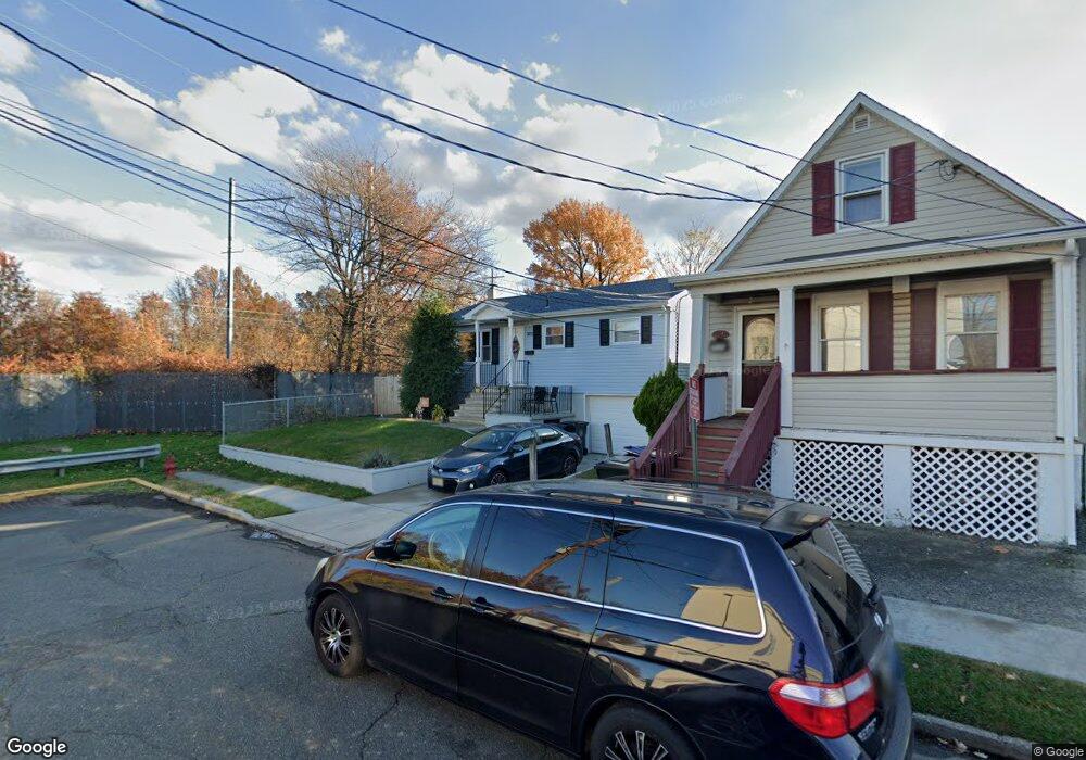
301 Leon Ave Perth Amboy, NJ 08861
Maurer NeighborhoodEstimated Value: $377,342 - $455,000
3
Beds
2
Baths
864
Sq Ft
$486/Sq Ft
Est. Value
About This Home
This home is located at 301 Leon Ave, Perth Amboy, NJ 08861 and is currently estimated at $420,086, approximately $486 per square foot. 301 Leon Ave is a home located in Middlesex County with nearby schools including Perth Amboy High School, Academy for Urban Leadership Charter School, and Assumption Catholic School.
Ownership History
Date
Name
Owned For
Owner Type
Purchase Details
Closed on
Apr 29, 2019
Sold by
Jimenez Kenny and Cruz Jackelyn E
Bought by
Delacruz Jose and Delacruz Ruth
Current Estimated Value
Home Financials for this Owner
Home Financials are based on the most recent Mortgage that was taken out on this home.
Original Mortgage
$228,650
Outstanding Balance
$201,030
Interest Rate
4.2%
Mortgage Type
New Conventional
Estimated Equity
$219,056
Purchase Details
Closed on
Jan 7, 2016
Sold by
Asa Services Llc
Bought by
Cruz Jackelyn E and Jimenez Kenny
Home Financials for this Owner
Home Financials are based on the most recent Mortgage that was taken out on this home.
Interest Rate
3.97%
Purchase Details
Closed on
Dec 12, 2014
Sold by
Estate Of Rosa Stepash
Bought by
Asa Services Llc
Create a Home Valuation Report for This Property
The Home Valuation Report is an in-depth analysis detailing your home's value as well as a comparison with similar homes in the area
Home Values in the Area
Average Home Value in this Area
Purchase History
| Date | Buyer | Sale Price | Title Company |
|---|---|---|---|
| Delacruz Jose | $269,000 | Foundation Title Llc | |
| Cruz Jackelyn E | $220,000 | -- | |
| Asa Services Llc | $70,000 | River Edge Title |
Source: Public Records
Mortgage History
| Date | Status | Borrower | Loan Amount |
|---|---|---|---|
| Open | Delacruz Jose | $228,650 | |
| Previous Owner | Cruz Jackelyn E | -- |
Source: Public Records
Tax History Compared to Growth
Tax History
| Year | Tax Paid | Tax Assessment Tax Assessment Total Assessment is a certain percentage of the fair market value that is determined by local assessors to be the total taxable value of land and additions on the property. | Land | Improvement |
|---|---|---|---|---|
| 2025 | $6,613 | $219,200 | $103,600 | $115,600 |
| 2024 | $6,600 | $219,200 | $103,600 | $115,600 |
| 2023 | $6,600 | $219,200 | $103,600 | $115,600 |
| 2022 | $6,521 | $219,200 | $103,600 | $115,600 |
| 2021 | $6,530 | $219,200 | $103,600 | $115,600 |
| 2020 | $6,528 | $219,200 | $103,600 | $115,600 |
| 2019 | $5,769 | $193,000 | $103,400 | $89,600 |
| 2018 | $5,719 | $193,000 | $103,400 | $89,600 |
| 2017 | $5,707 | $193,000 | $103,400 | $89,600 |
| 2016 | $5,558 | $193,000 | $103,400 | $89,600 |
| 2015 | $5,597 | $190,800 | $103,400 | $87,400 |
| 2014 | $5,568 | $190,800 | $103,400 | $87,400 |
Source: Public Records
Map
Nearby Homes
- 278 Alpine St
- 335 Alpine St
- 381 Keene St
- 434 Lawrence St Unit 19
- 435 Ashley St
- 168 Lynd St
- 676 Johnstone St
- 680 Charles St
- 646 Johnstone St
- 270 Hall Ave
- 212 Hall Ave
- 514 S Park Dr
- 537 Harding Ave
- 649 Cornell St
- 752 Donald Ave
- 547 S Park Dr
- 816 Harbortown Blvd
- 744 Donald Ave
- 720 Donald Ave
- 689 Mary St