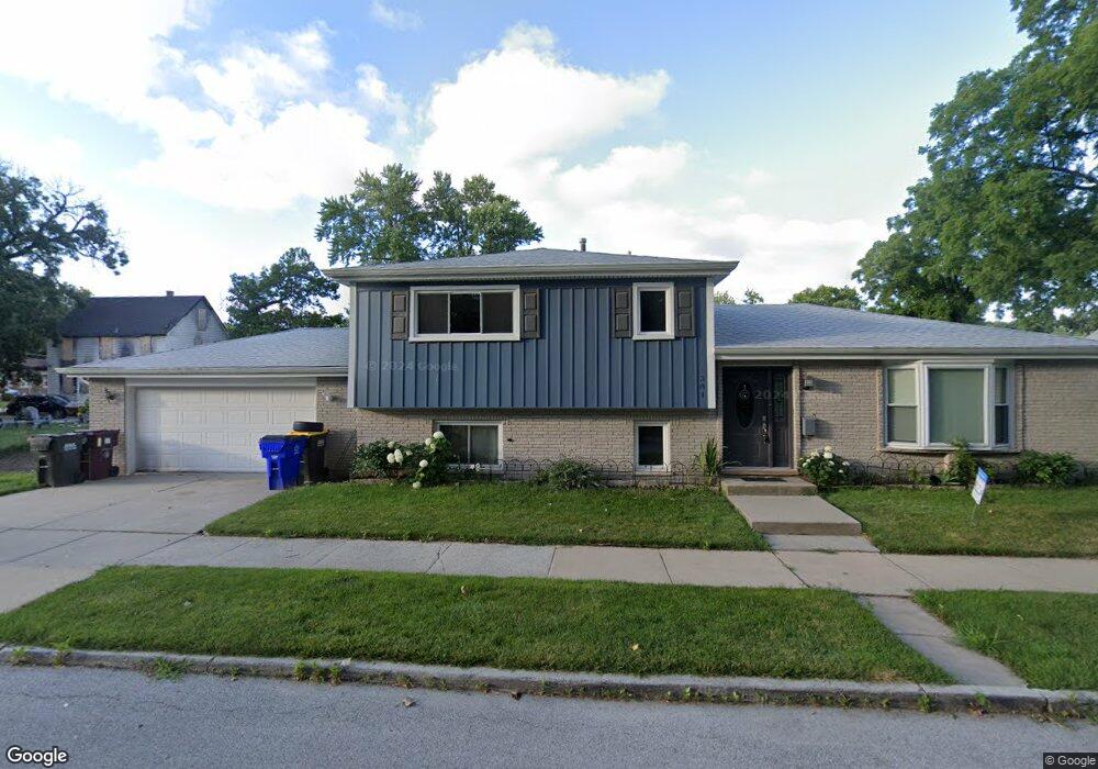
301 Leverett St Thornton, IL 60476
Estimated Value: $203,000 - $236,000
3
Beds
2
Baths
1,273
Sq Ft
$168/Sq Ft
Est. Value
About This Home
This home is located at 301 Leverett St, Thornton, IL 60476 and is currently estimated at $213,809, approximately $167 per square foot. 301 Leverett St is a home located in Cook County with nearby schools including Wolcott School and Thornwood High School.
Ownership History
Date
Name
Owned For
Owner Type
Purchase Details
Closed on
Dec 31, 2004
Sold by
Gustafson Carl W
Bought by
Omitoyin Olubunmi and Omitoyin Janet
Current Estimated Value
Home Financials for this Owner
Home Financials are based on the most recent Mortgage that was taken out on this home.
Original Mortgage
$137,200
Outstanding Balance
$69,058
Interest Rate
6.12%
Mortgage Type
Unknown
Estimated Equity
$144,751
Create a Home Valuation Report for This Property
The Home Valuation Report is an in-depth analysis detailing your home's value as well as a comparison with similar homes in the area
Home Values in the Area
Average Home Value in this Area
Purchase History
| Date | Buyer | Sale Price | Title Company |
|---|---|---|---|
| Omitoyin Olubunmi | $171,500 | Multiple |
Source: Public Records
Mortgage History
| Date | Status | Borrower | Loan Amount |
|---|---|---|---|
| Open | Omitoyin Olubunmi | $137,200 | |
| Closed | Omitoyin Olubunmi | $34,300 |
Source: Public Records
Tax History
| Year | Tax Paid | Tax Assessment Tax Assessment Total Assessment is a certain percentage of the fair market value that is determined by local assessors to be the total taxable value of land and additions on the property. | Land | Improvement |
|---|---|---|---|---|
| 2025 | $2,999 | $19,000 | $2,500 | $16,500 |
| 2024 | $2,999 | $19,000 | $2,500 | $16,500 |
| 2023 | $3,515 | $19,000 | $2,500 | $16,500 |
| 2022 | $3,515 | $12,297 | $2,188 | $10,109 |
| 2021 | $3,440 | $12,296 | $2,187 | $10,109 |
| 2020 | $5,365 | $12,296 | $2,187 | $10,109 |
| 2019 | $5,441 | $12,740 | $2,031 | $10,709 |
| 2018 | $5,215 | $12,740 | $2,031 | $10,709 |
| 2017 | $5,244 | $12,740 | $2,031 | $10,709 |
| 2016 | $4,990 | $11,496 | $1,875 | $9,621 |
| 2015 | $4,652 | $11,496 | $1,875 | $9,621 |
| 2014 | $4,556 | $11,496 | $1,875 | $9,621 |
| 2013 | $3,987 | $11,545 | $1,875 | $9,670 |
Source: Public Records
Map
Nearby Homes
- 308 Schwab St
- 305 Schwab St
- 210 Maple Ln
- 113 N Hunter St
- 209 N Hunter St
- 214 N Hunter St
- 314 N Kinzie St
- 83 Indianwood Dr
- 19 Mohawk Dr
- 29 Arapaho Dr Unit 2
- 14 Arrowhead Dr
- 920 Sunnyside Ave
- 17331 Wausau Ct
- 637 N Carroll Pkwy Unit 203
- 629 N Carroll Pkwy Unit 208
- 147 E Maple Dr
- 17249 School St
- 231 E Tulip Dr
- 636 E 173rd St
- 436 N Pleasant Dr
- 305 Leverett St
- 309 Leverett St
- 300 Schwab St
- 300 Schwab St
- 315 Leverett St
- 224 Schwab St
- 312 Schwab St
- 321 Leverett St
- 321 Leverett St
- 220 Schwab St
- 312 Leverett St
- 312 Leverett St
- 318 Schwab St
- 316 Leverette St
- 316 Leverette St
- 301 Schwab St
- 229 Schwab St
- 323 Leverett St
- 225 Schwab St
- 309 Schwab St
Your Personal Tour Guide
Ask me questions while you tour the home.