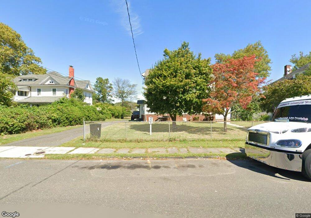
301 Liberty St Long Branch, NJ 07740
Estimated Value: $706,000 - $977,000
4
Beds
2
Baths
2,304
Sq Ft
$365/Sq Ft
Est. Value
About This Home
This home is located at 301 Liberty St, Long Branch, NJ 07740 and is currently estimated at $840,295, approximately $364 per square foot. 301 Liberty St is a home located in Monmouth County with nearby schools including Long Branch High School and Holy Trinity School.
Ownership History
Date
Name
Owned For
Owner Type
Purchase Details
Closed on
Dec 16, 2011
Sold by
Lasala Mario M and Lasala La Sala
Bought by
Rtr New Home Building Contractors Inc
Current Estimated Value
Purchase Details
Closed on
Aug 4, 2006
Sold by
Angela S Lasala As Exr Of Est
Bought by
Lasala Angela and Lasala Mario M
Create a Home Valuation Report for This Property
The Home Valuation Report is an in-depth analysis detailing your home's value as well as a comparison with similar homes in the area
Home Values in the Area
Average Home Value in this Area
Purchase History
| Date | Buyer | Sale Price | Title Company |
|---|---|---|---|
| Rtr New Home Building Contractors Inc | $420,000 | Coastal Title Agency Inc | |
| Lasala Angela | -- | -- |
Source: Public Records
Tax History Compared to Growth
Tax History
| Year | Tax Paid | Tax Assessment Tax Assessment Total Assessment is a certain percentage of the fair market value that is determined by local assessors to be the total taxable value of land and additions on the property. | Land | Improvement |
|---|---|---|---|---|
| 2025 | $10,103 | $699,900 | $128,500 | $571,400 |
| 2024 | $9,756 | $657,300 | $128,500 | $528,800 |
| 2023 | $9,756 | $628,200 | $123,500 | $504,700 |
| 2022 | $10,189 | $578,200 | $133,500 | $444,700 |
| 2021 | $10,189 | $509,200 | $118,500 | $390,700 |
| 2020 | $10,450 | $500,000 | $111,500 | $388,500 |
| 2019 | $9,959 | $473,800 | $103,500 | $370,300 |
| 2018 | $9,627 | $455,400 | $98,500 | $356,900 |
| 2017 | $10,010 | $485,700 | $98,500 | $387,200 |
| 2016 | $9,614 | $475,700 | $98,500 | $377,200 |
| 2015 | $9,759 | $438,200 | $120,600 | $317,600 |
| 2014 | $9,969 | $471,800 | $140,700 | $331,100 |
Source: Public Records
Map
Nearby Homes
- 323 Florence Ave
- 188 Chelton Ave
- 392 Florence Ave
- 211 Rockwell Ave
- 172 Chelton Ave
- 184 N 5th Ave
- 154 Atlantic Ave
- 231 Long Branch Ave
- 151 N 5th Ave
- 40 University Dr
- 138 Rosewood Ave
- 164 Airsdale Ave
- 381 Long Branch Ave
- 190 Spruce St Unit 4
- 28 Patten Ln
- 165 Kingsley St
- 401 Joline Ave
- 40 Seaview Ave Unit A
- 422 Ocean Blvd N Unit 5H
- 16 Shore Dr
- 301 Liberty St Unit REAR 2
- 301 Liberty St Unit FRONT 2
- 293 Liberty St Unit 6
- 311 Liberty St
- 321 Liberty St
- 287 Liberty St Unit 6
- 287 Liberty St Unit 2
- 298 Liberty St
- 323 Liberty St
- 300 Liberty St
- 312 Liberty St
- 304 Liberty St
- 308 Liberty St
- 331 Liberty St
- 282 Liberty St
- 322 Liberty St
- 233 Vanderveer Place
- 232 Allen Place
- 337 Liberty St
- 234 Allen Place