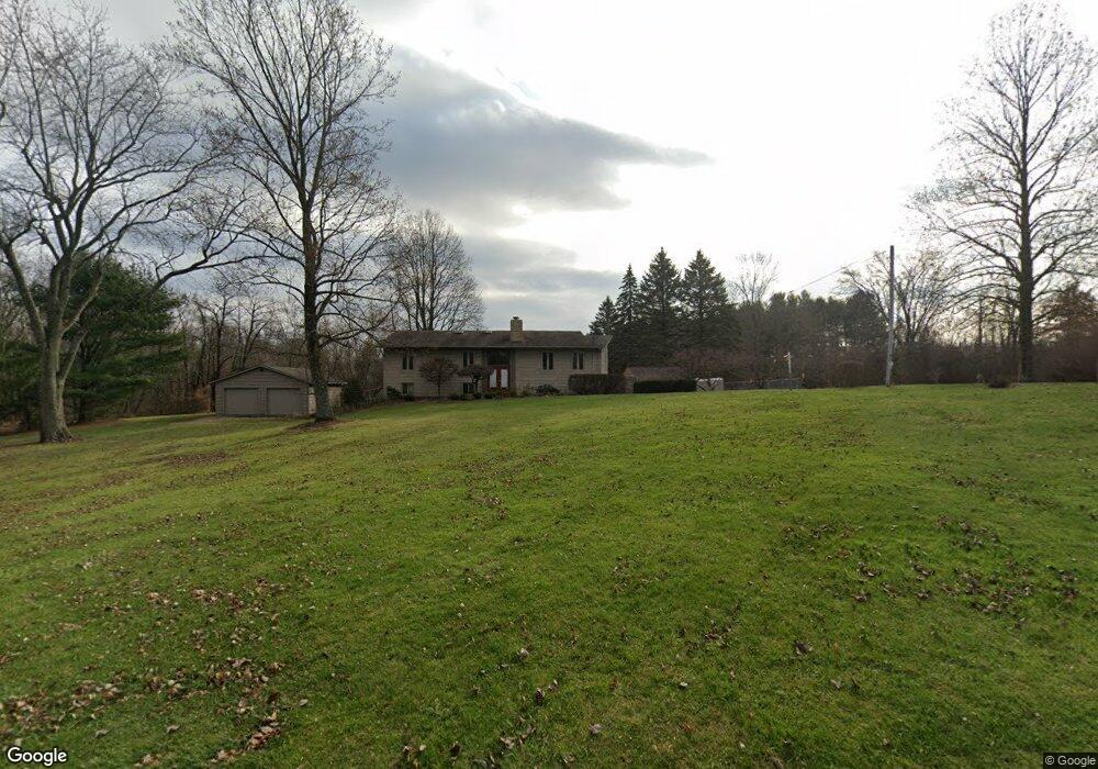
301 Logan Rd Mansfield, OH 44907
Estimated Value: $247,000 - $331,668
5
Beds
2
Baths
2,760
Sq Ft
$107/Sq Ft
Est. Value
About This Home
This home is located at 301 Logan Rd, Mansfield, OH 44907 and is currently estimated at $296,667, approximately $107 per square foot. 301 Logan Rd is a home located in Richland County with nearby schools including Madison High School, Mansfield Christian School, and Mansfield Seventh-day Adventist School.
Ownership History
Date
Name
Owned For
Owner Type
Purchase Details
Closed on
Jun 11, 2015
Sold by
Leach Patrick D and Leach Susan K
Bought by
Waleri Carla A
Current Estimated Value
Purchase Details
Closed on
Jun 13, 2003
Sold by
Cooper Gerald M and Cooper Lorraine J
Bought by
Leach Patrick D and Leach Susan K
Home Financials for this Owner
Home Financials are based on the most recent Mortgage that was taken out on this home.
Original Mortgage
$189,000
Interest Rate
4.2%
Mortgage Type
Purchase Money Mortgage
Create a Home Valuation Report for This Property
The Home Valuation Report is an in-depth analysis detailing your home's value as well as a comparison with similar homes in the area
Home Values in the Area
Average Home Value in this Area
Purchase History
| Date | Buyer | Sale Price | Title Company |
|---|---|---|---|
| Waleri Carla A | -- | Attorney | |
| Leach Patrick D | $175,000 | Chicago Title |
Source: Public Records
Mortgage History
| Date | Status | Borrower | Loan Amount |
|---|---|---|---|
| Previous Owner | Leach Patrick D | $189,000 |
Source: Public Records
Tax History Compared to Growth
Tax History
| Year | Tax Paid | Tax Assessment Tax Assessment Total Assessment is a certain percentage of the fair market value that is determined by local assessors to be the total taxable value of land and additions on the property. | Land | Improvement |
|---|---|---|---|---|
| 2024 | $3,503 | $86,680 | $12,970 | $73,710 |
| 2023 | $3,503 | $86,680 | $12,970 | $73,710 |
| 2022 | $2,654 | $60,630 | $11,140 | $49,490 |
| 2021 | $2,653 | $60,630 | $11,140 | $49,490 |
| 2020 | $2,680 | $60,630 | $11,140 | $49,490 |
| 2019 | $2,508 | $51,250 | $9,340 | $41,910 |
| 2018 | $2,484 | $51,250 | $9,340 | $41,910 |
| 2017 | $2,314 | $51,250 | $9,340 | $41,910 |
| 2016 | $2,194 | $45,100 | $7,950 | $37,150 |
| 2015 | $2,194 | $45,100 | $7,950 | $37,150 |
| 2014 | $2,144 | $45,100 | $7,950 | $37,150 |
| 2012 | $1,036 | $46,490 | $8,190 | $38,300 |
Source: Public Records
Map
Nearby Homes
- 1011 Princeton Trace
- 0 Lexington Ave Unit 224009661
- 65 Logan Rd
- 1179 Burkwood Rd
- 154 Elderberry Dr
- 148 Elderberry Dr
- 132 Elderberry Dr
- 1156 Yorkwood Rd
- 129 Elderberry Dr
- 136 Elmridge Rd
- 478 Clearview Rd
- 1125 Larchwood Rd
- 0 Yoha Dr
- 646 Kennedy Dr
- 0 S Main St
- 1680 S Main St
- 601 Karlson Dr
- 484 Beechwood Dr
- 1689 Middle Bellville Rd
- 501 Clifton Blvd