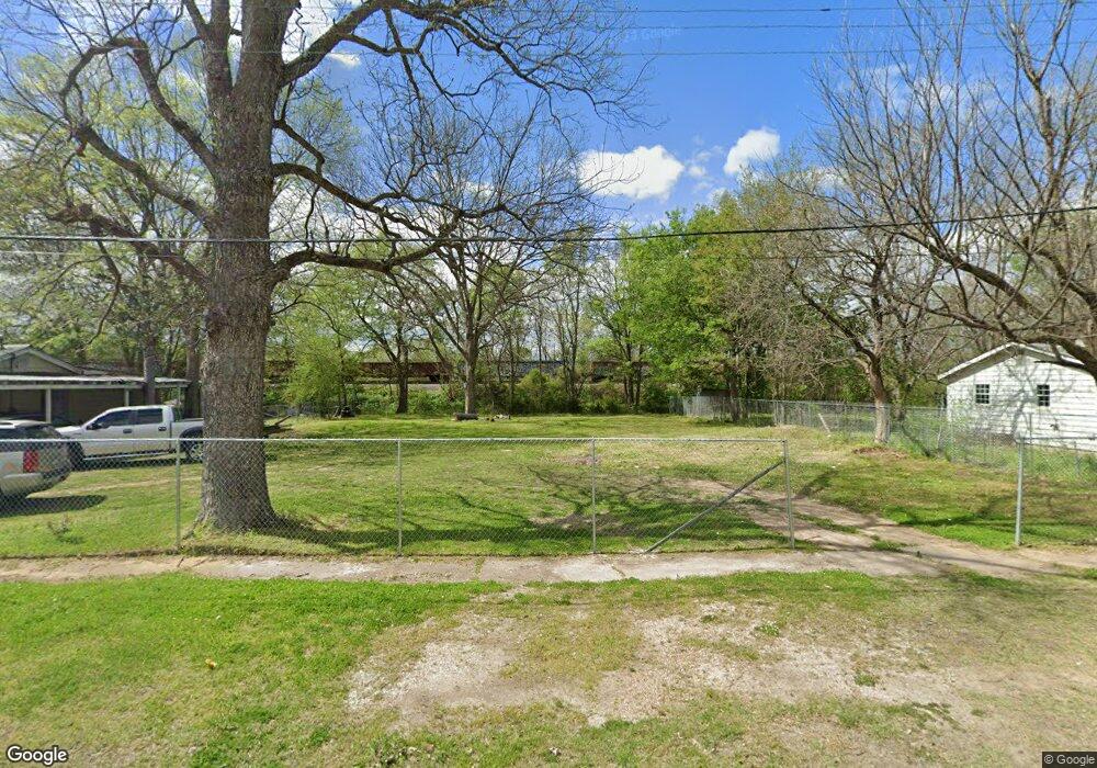
301 Logan St Newport, AR 72112
Estimated Value: $145,000
Studio
1
Bath
--
Sq Ft
15,987
Sq Ft Lot
About This Home
This home is located at 301 Logan St, Newport, AR 72112 and is currently estimated at $145,000. 301 Logan St is a home located in Jackson County with nearby schools including Newport Elementary School and Newport High School.
Ownership History
Date
Name
Owned For
Owner Type
Purchase Details
Closed on
Oct 30, 2024
Sold by
Commissioner Of State Lands
Bought by
Esparza Silverio Perez
Current Estimated Value
Purchase Details
Closed on
Oct 20, 2023
Sold by
Gillespie Finnis R
Bought by
Esparza Silverio Perez
Purchase Details
Closed on
Aug 2, 2022
Sold by
Commissioner Of State Lands
Bought by
Gillespie Finnis Rashad
Purchase Details
Closed on
Oct 2, 2018
Sold by
Hill Miccah
Bought by
Gillespie Finnis Rashad
Purchase Details
Closed on
Jan 30, 2017
Sold by
Commissioner Of State Lands
Bought by
Ok Land Trust
Purchase Details
Closed on
Jan 23, 2017
Sold by
Ok Land Trust
Bought by
Thurston John
Purchase Details
Closed on
Nov 9, 2000
Bought by
Mccann Dennis and Mccann Nancie G
Purchase Details
Closed on
Sep 16, 1992
Bought by
Watkins Talmadge W and Watkins Rosella
Create a Home Valuation Report for This Property
The Home Valuation Report is an in-depth analysis detailing your home's value as well as a comparison with similar homes in the area
Home Values in the Area
Average Home Value in this Area
Purchase History
| Date | Buyer | Sale Price | Title Company |
|---|---|---|---|
| Esparza Silverio Perez | $125 | None Listed On Document | |
| Esparza Silverio Perez | -- | None Listed On Document | |
| Gillespie Finnis Rashad | $667 | None Listed On Document | |
| Gillespie Finnis Rashad | $833 | None Available | |
| Ok Land Trust | -- | None Available | |
| Thurston John | -- | None Available | |
| Mccann Dennis | -- | -- | |
| Watkins Talmadge W | $8,000 | -- |
Source: Public Records
Tax History
| Year | Tax Paid | Tax Assessment Tax Assessment Total Assessment is a certain percentage of the fair market value that is determined by local assessors to be the total taxable value of land and additions on the property. | Land | Improvement |
|---|---|---|---|---|
| 2025 | $21 | $400 | $400 | $0 |
| 2024 | $21 | $400 | $400 | $0 |
| 2023 | $21 | $400 | $400 | $0 |
| 2022 | $29 | $400 | $400 | $0 |
| 2021 | $28 | $400 | $400 | $0 |
| 2020 | $28 | $400 | $400 | $0 |
| 2019 | $28 | $400 | $400 | $0 |
| 2018 | $102 | $2,000 | $2,000 | $0 |
| 2017 | $102 | $2,000 | $2,000 | $0 |
| 2015 | -- | $2,000 | $2,000 | $0 |
| 2014 | -- | $2,000 | $2,000 | $0 |
| 2013 | -- | $3,480 | $640 | $2,840 |
| 2012 | -- | $3,480 | $640 | $2,840 |
Source: Public Records
Map
Nearby Homes
- 604 Mclain St
- 612 Mclain St
- 924 State 14
- 721 Mclain St
- 109 N Lakeside Ln
- 000 Forrest Dr
- 520 Main St
- 315 Remmel Ave
- 0 Holmes St Unit 25033630
- 0 Holmes St Unit 25-486
- 1311 Dill St
- 1403 Dill St
- 1016 Front St
- 1408 Malcolm Ave
- 4 Virginia Rd
- 1009 Garfield St
- 1303 Cindy Ln
- 1714 Dill St
- 1801 Hines St
- 0 Robinson Rd
Your Personal Tour Guide
Ask me questions while you tour the home.