301 Main St Blairsville, GA 30512
Estimated Value: $86,285 - $134,000
--
Bed
--
Bath
--
Sq Ft
6,534
Sq Ft Lot
About This Home
This home is located at 301 Main St, Blairsville, GA 30512 and is currently estimated at $115,071. 301 Main St is a home with nearby schools including Union County Primary School, Union County Elementary School, and Union County Middle School.
Ownership History
Date
Name
Owned For
Owner Type
Purchase Details
Closed on
Jan 25, 2023
Sold by
Hart Michael L
Bought by
Joint Trust Of Michael And Lee Anne Hart
Current Estimated Value
Purchase Details
Closed on
Jun 23, 2020
Sold by
Gioia James
Bought by
Hart Michael L and Hart Lee Anne
Purchase Details
Closed on
Jun 7, 2018
Sold by
Campbell Richard E
Bought by
Gioia James
Purchase Details
Closed on
Dec 14, 2004
Sold by
Stewart Ken and Stewart Laura
Bought by
Arnett Robert and Arnett Barbara
Purchase Details
Closed on
Dec 13, 2004
Sold by
Stewart William K
Bought by
Arnett Robert and Arnett Barbara
Purchase Details
Closed on
Aug 30, 2001
Bought by
Stewart Ken and Stewart Laura
Create a Home Valuation Report for This Property
The Home Valuation Report is an in-depth analysis detailing your home's value as well as a comparison with similar homes in the area
Home Values in the Area
Average Home Value in this Area
Purchase History
| Date | Buyer | Sale Price | Title Company |
|---|---|---|---|
| Joint Trust Of Michael And Lee Anne Hart | -- | -- | |
| Hart Michael L | $53,500 | -- | |
| Gioia James | $45,000 | -- | |
| Arnett Robert | $27,500 | -- | |
| Arnett Robert | $27,500 | -- | |
| Stewart Ken | $24,000 | -- |
Source: Public Records
Tax History Compared to Growth
Tax History
| Year | Tax Paid | Tax Assessment Tax Assessment Total Assessment is a certain percentage of the fair market value that is determined by local assessors to be the total taxable value of land and additions on the property. | Land | Improvement |
|---|---|---|---|---|
| 2024 | $158 | $13,360 | $12,000 | $1,360 |
| 2023 | $178 | $13,360 | $12,000 | $1,360 |
| 2022 | $165 | $12,400 | $12,000 | $400 |
| 2021 | $196 | $12,456 | $12,000 | $456 |
| 2020 | $222 | $11,719 | $9,350 | $2,369 |
| 2019 | $210 | $11,719 | $9,350 | $2,369 |
| 2018 | $206 | $11,719 | $9,350 | $2,369 |
| 2017 | $206 | $11,719 | $9,350 | $2,369 |
| 2016 | $206 | $11,719 | $9,350 | $2,369 |
| 2015 | $208 | $11,719 | $9,350 | $2,369 |
| 2013 | -- | $11,719 | $9,350 | $2,369 |
Source: Public Records
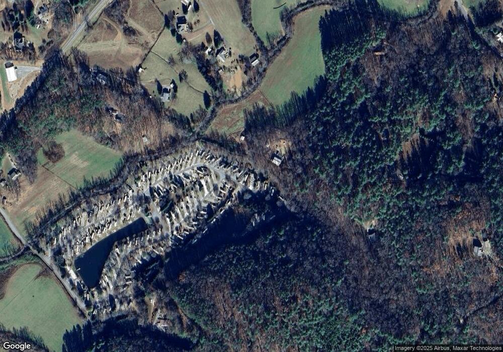
Map
Nearby Homes
- 90 Natures Ln
- 344 Choestoe Falls Cir
- 13 Choestoe Valley Cir
- 13 Chestoe Valley Cir
- 209 Grace Mountain Rd
- 102 Choestoe Valley Cir
- 88 Choestoe Valley Cir
- 65 Choestoe Valley Cir
- 185 Choestoe Valley Cir
- 201 Choestoe Valley Cir
- LT37-326 Choestoe Valley Cir
- 326 Choestoe Valley Cir Unit L 37
- LOT 10 Kennedys Ct
- 477 Kennedys Ct
- LOT 10 Kennedys Ct Unit 10
- 496 Choestoe Valley Cir
- 144 Big Sky Rd
- 127 Berry Reister Rd