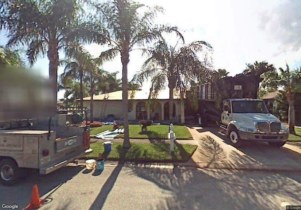
301 Maple Dr Satellite Beach, FL 32937
Estimated Value: $555,000 - $649,000
3
Beds
2
Baths
1,836
Sq Ft
$317/Sq Ft
Est. Value
About This Home
This home is located at 301 Maple Dr, Satellite Beach, FL 32937 and is currently estimated at $582,409, approximately $317 per square foot. 301 Maple Dr is a home located in Brevard County with nearby schools including Surfside Elementary School, Satellite Senior High School, and DeLaura Middle School.
Ownership History
Date
Name
Owned For
Owner Type
Purchase Details
Closed on
Oct 8, 2018
Sold by
Kofron James E and Kofron Karyn L
Bought by
Kofron James Edward and Kofron Karyn Lynn
Current Estimated Value
Purchase Details
Closed on
Aug 11, 1997
Sold by
Labossiere Girard and Labossiere Margarete
Bought by
Kofron James E and Kofron Karyn L
Home Financials for this Owner
Home Financials are based on the most recent Mortgage that was taken out on this home.
Original Mortgage
$123,500
Interest Rate
7.5%
Create a Home Valuation Report for This Property
The Home Valuation Report is an in-depth analysis detailing your home's value as well as a comparison with similar homes in the area
Home Values in the Area
Average Home Value in this Area
Purchase History
| Date | Buyer | Sale Price | Title Company |
|---|---|---|---|
| Kofron James Edward | -- | Attorney | |
| Kofron James E | $130,000 | -- |
Source: Public Records
Mortgage History
| Date | Status | Borrower | Loan Amount |
|---|---|---|---|
| Previous Owner | Kofron James E | $123,500 |
Source: Public Records
Tax History
| Year | Tax Paid | Tax Assessment Tax Assessment Total Assessment is a certain percentage of the fair market value that is determined by local assessors to be the total taxable value of land and additions on the property. | Land | Improvement |
|---|---|---|---|---|
| 2025 | $2,695 | $179,710 | -- | -- |
| 2024 | $2,649 | $174,650 | -- | -- |
| 2023 | $2,649 | $169,570 | $0 | $0 |
| 2022 | $2,478 | $164,640 | $0 | $0 |
| 2021 | $2,547 | $159,850 | $0 | $0 |
| 2020 | $2,537 | $157,650 | $0 | $0 |
| 2019 | $2,517 | $154,110 | $0 | $0 |
| 2018 | $2,516 | $151,240 | $0 | $0 |
| 2017 | $2,349 | $148,130 | $0 | $0 |
| 2016 | $2,354 | $145,090 | $85,000 | $60,090 |
| 2015 | $2,410 | $144,090 | $75,000 | $69,090 |
| 2014 | $2,412 | $142,950 | $70,000 | $72,950 |
Source: Public Records
Map
Nearby Homes
- 485 Temple St
- 550 Temple St
- 240 Greenway Ave
- 366 Ocean Spray Ave
- 172 Skyline Blvd
- 368 Ocean Spray Ave
- 358 Desoto Pkwy
- 0000 Cassia Blvd
- 360 Cassia Blvd
- 255 Kings Way
- 229 Kings Way
- 445 Saint Johns Dr
- 204 Queens Ct
- 544 Holly Dr
- 110 Maple Dr
- 105 Carissa Dr
- 118 Skyline Cir
- 270 Cinnamon Dr
- 155 Elm Ave
- 435 Desoto Pkwy
Your Personal Tour Guide
Ask me questions while you tour the home.