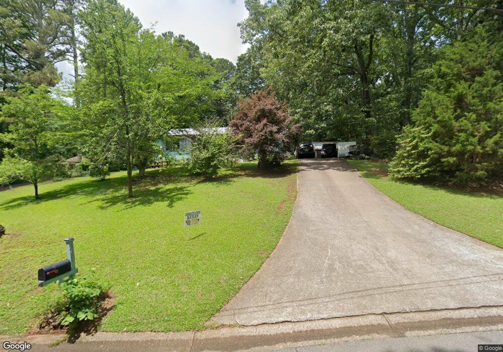
301 Mason Dr Canton, GA 30115
Estimated Value: $344,805 - $355,000
3
Beds
2
Baths
1,578
Sq Ft
$222/Sq Ft
Est. Value
About This Home
This home is located at 301 Mason Dr, Canton, GA 30115 and is currently estimated at $349,903, approximately $221 per square foot. 301 Mason Dr is a home located in Cherokee County with nearby schools including Indian Knoll Elementary School, Rusk Middle School, and Sequoyah High School.
Ownership History
Date
Name
Owned For
Owner Type
Purchase Details
Closed on
Jan 27, 1999
Sold by
Logan William S
Bought by
Pittman Chris
Current Estimated Value
Home Financials for this Owner
Home Financials are based on the most recent Mortgage that was taken out on this home.
Original Mortgage
$86,800
Interest Rate
7.73%
Mortgage Type
New Conventional
Purchase Details
Closed on
Apr 12, 1996
Sold by
Cope Don Randal
Bought by
Logan William B
Purchase Details
Closed on
Apr 21, 1995
Sold by
Vickers Dana
Bought by
Cope Toni and Randal Don
Create a Home Valuation Report for This Property
The Home Valuation Report is an in-depth analysis detailing your home's value as well as a comparison with similar homes in the area
Home Values in the Area
Average Home Value in this Area
Purchase History
| Date | Buyer | Sale Price | Title Company |
|---|---|---|---|
| Pittman Chris | $89,900 | -- | |
| Logan William B | $8,500 | -- | |
| Cope Toni | $74,500 | -- |
Source: Public Records
Mortgage History
| Date | Status | Borrower | Loan Amount |
|---|---|---|---|
| Previous Owner | Pittman Chris | $86,800 | |
| Closed | Logan William B | $0 |
Source: Public Records
Tax History
| Year | Tax Paid | Tax Assessment Tax Assessment Total Assessment is a certain percentage of the fair market value that is determined by local assessors to be the total taxable value of land and additions on the property. | Land | Improvement |
|---|---|---|---|---|
| 2025 | $3,416 | $130,096 | $26,000 | $104,096 |
| 2024 | $3,401 | $130,856 | $21,600 | $109,256 |
| 2023 | $3,475 | $133,736 | $21,600 | $112,136 |
| 2022 | $2,790 | $106,136 | $21,600 | $84,536 |
| 2021 | $2,177 | $76,696 | $17,920 | $58,776 |
| 2020 | $1,976 | $69,536 | $16,000 | $53,536 |
| 2019 | $1,557 | $54,800 | $15,200 | $39,600 |
| 2018 | $1,356 | $47,440 | $12,000 | $35,440 |
| 2017 | $1,262 | $109,500 | $12,000 | $31,800 |
| 2016 | $864 | $74,200 | $6,000 | $23,680 |
| 2015 | $883 | $75,100 | $6,000 | $24,040 |
| 2014 | $897 | $76,100 | $6,000 | $24,440 |
Source: Public Records
Map
Nearby Homes
- 386 Mason Dr
- 173 Sharon Dr
- 590 Arthur Rd
- 232 Barrett Springs Way
- 190 Redbud Rd
- 134 Cypress Ct
- 330 Sassafras Way
- 121 Cypress Ct
- 107 Cypress Ct
- 302 Hickory Ln
- 137 Cypress Ct
- 454 Sugarberry Ln
- 195 Redbud Rd
- 212 Knollwood Bend
- 191 Redbud Rd
- 187 Redbud Rd
- 183 Redbud Rd
- 179 Redbud Rd
- 175 Redbud Rd
- 208 Knollwood Bend
Your Personal Tour Guide
Ask me questions while you tour the home.