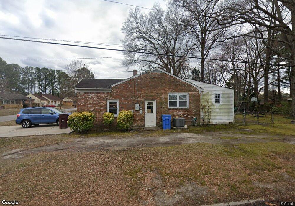
301 Mccosh Dr Chesapeake, VA 23320
South Norfolk NeighborhoodEstimated Value: $313,000 - $349,000
3
Beds
2
Baths
1,451
Sq Ft
$228/Sq Ft
Est. Value
About This Home
This home is located at 301 Mccosh Dr, Chesapeake, VA 23320 and is currently estimated at $330,926, approximately $228 per square foot. 301 Mccosh Dr is a home located in Chesapeake City with nearby schools including B.M. Williams Primary School, Crestwood Intermediate School, and Crestwood Middle School.
Ownership History
Date
Name
Owned For
Owner Type
Purchase Details
Closed on
Jul 30, 2003
Sold by
Pearce Judith Armstrong
Bought by
Bauer Robert
Current Estimated Value
Home Financials for this Owner
Home Financials are based on the most recent Mortgage that was taken out on this home.
Original Mortgage
$60,000
Interest Rate
6.03%
Mortgage Type
New Conventional
Create a Home Valuation Report for This Property
The Home Valuation Report is an in-depth analysis detailing your home's value as well as a comparison with similar homes in the area
Home Values in the Area
Average Home Value in this Area
Purchase History
| Date | Buyer | Sale Price | Title Company |
|---|---|---|---|
| Bauer Robert | $135,000 | -- |
Source: Public Records
Mortgage History
| Date | Status | Borrower | Loan Amount |
|---|---|---|---|
| Previous Owner | Bauer Robert | $60,000 |
Source: Public Records
Tax History
| Year | Tax Paid | Tax Assessment Tax Assessment Total Assessment is a certain percentage of the fair market value that is determined by local assessors to be the total taxable value of land and additions on the property. | Land | Improvement |
|---|---|---|---|---|
| 2025 | $2,711 | $294,500 | $120,000 | $174,500 |
| 2024 | $2,711 | $268,400 | $105,000 | $163,400 |
| 2023 | $2,247 | $243,900 | $95,000 | $148,900 |
| 2022 | $2,239 | $221,700 | $85,000 | $136,700 |
| 2021 | $2,045 | $194,800 | $75,000 | $119,800 |
| 2020 | $2,023 | $192,700 | $75,000 | $117,700 |
| 2019 | $1,967 | $187,300 | $75,000 | $112,300 |
| 2018 | $1,962 | $178,800 | $70,000 | $108,800 |
| 2017 | $1,927 | $183,500 | $70,000 | $113,500 |
| 2016 | $1,927 | $183,500 | $70,000 | $113,500 |
| 2015 | $1,877 | $178,800 | $70,000 | $108,800 |
| 2014 | $1,877 | $178,800 | $70,000 | $108,800 |
Source: Public Records
Map
Nearby Homes
- 4707 Dermott St
- 1008 Wadena Rd
- 1509 Waitsel Dr Unit 207
- 1501 Waitsel Dr Unit 104
- 1501 Waitsel Dr Unit 304
- 4217 Wake Ave
- 113 Thrasher Rd
- 555 Byron St
- 1224 Damyien Arch
- 732 Finck Ln
- 4111 Leyte Ave
- 612 River Creek Rd
- 4108 Wake Ave
- 112 Cottonwood Ln
- 566 River Creek Rd
- 332 Lenore Trail
- 4130 3rd St
- 4109 5th St
- 4136 2nd St
- 809 Huntly Dr
- 303 Mccosh Dr
- 1203 Haledon Rd
- 221 Mccosh Dr
- 300 Mccosh Dr
- 222 Mccosh Dr
- 1202 Haledon Rd
- 325 Haledon Rd
- 1201 Haledon Rd
- 1024 Kincaid Terrace
- 1028 Kincaid Terrace
- 220 Mccosh Dr
- 304 Mccosh Dr
- 324 Haledon Rd
- 302 Mccosh Dr
- 321 Haledon Rd
- 218 Mccosh Dr
- 1020 Kincaid Terrace
- 308 Mccosh Dr
- 219 Mccosh Dr
- 317 Haledon Rd
Your Personal Tour Guide
Ask me questions while you tour the home.