301 Mountain Laurel Rd McDonough, GA 30252
Estimated Value: $292,878 - $343,000
3
Beds
3
Baths
1,824
Sq Ft
$169/Sq Ft
Est. Value
About This Home
This home is located at 301 Mountain Laurel Rd, McDonough, GA 30252 and is currently estimated at $308,220, approximately $168 per square foot. 301 Mountain Laurel Rd is a home located in Henry County with nearby schools including Timber Ridge Elementary School, Union Grove Middle School, and Union Grove High School.
Ownership History
Date
Name
Owned For
Owner Type
Purchase Details
Closed on
Oct 31, 1997
Sold by
Skidmore Charles W and Skidmore Linda S
Bought by
Rhew Robert W and Rhew Nicola E
Current Estimated Value
Home Financials for this Owner
Home Financials are based on the most recent Mortgage that was taken out on this home.
Original Mortgage
$131,000
Outstanding Balance
$20,715
Interest Rate
7.27%
Mortgage Type
New Conventional
Estimated Equity
$287,505
Create a Home Valuation Report for This Property
The Home Valuation Report is an in-depth analysis detailing your home's value as well as a comparison with similar homes in the area
Home Values in the Area
Average Home Value in this Area
Purchase History
| Date | Buyer | Sale Price | Title Company |
|---|---|---|---|
| Rhew Robert W | $137,900 | -- |
Source: Public Records
Mortgage History
| Date | Status | Borrower | Loan Amount |
|---|---|---|---|
| Open | Rhew Robert W | $131,000 |
Source: Public Records
Tax History Compared to Growth
Tax History
| Year | Tax Paid | Tax Assessment Tax Assessment Total Assessment is a certain percentage of the fair market value that is determined by local assessors to be the total taxable value of land and additions on the property. | Land | Improvement |
|---|---|---|---|---|
| 2025 | $3,266 | $117,080 | $16,560 | $100,520 |
| 2024 | $3,266 | $101,320 | $14,920 | $86,400 |
| 2023 | $2,540 | $102,040 | $14,360 | $87,680 |
| 2022 | $2,889 | $95,400 | $13,240 | $82,160 |
| 2021 | $2,592 | $82,800 | $11,360 | $71,440 |
| 2020 | $2,395 | $74,440 | $10,720 | $63,720 |
| 2019 | $2,302 | $70,480 | $10,160 | $60,320 |
| 2018 | $2,195 | $65,920 | $9,400 | $56,520 |
| 2016 | $1,902 | $55,600 | $7,560 | $48,040 |
| 2015 | $1,762 | $50,840 | $8,480 | $42,360 |
| 2014 | $1,543 | $44,920 | $8,480 | $36,440 |
Source: Public Records
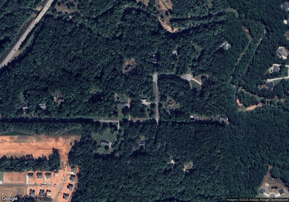
Map
Nearby Homes
- 2194 Highway 20 E
- 628 Continental Dr
- 2175 Highway 20 E
- Meridian II Plan at Trinity Park
- Clarity Plan at Trinity Park
- Rainier Plan at Trinity Park
- Stonefield Plan at Trinity Park
- Isabella II Plan at Trinity Park
- McKinley II Plan at Trinity Park
- Rosemary II Plan at Trinity Park
- 322 Delta Dr
- 308 Delta Dr
- 504 Dulles Dr
- 515 Dulles Dr
- 420 Hartsfield Rd
- 604 Continental Dr
- 1202 Persimmon Way
- 141 Frontier Way
- 528 Noblewood Dr
- 1333 Nickel Oak Bend
- 161 Mountain Laurel Dr
- 300 Mountain Laurel Rd
- 311 Mountain Laurel Rd
- 170 Mountain Laurel Dr
- 321 Mountain Brook Ct
- 0 Mountain Brook Ct Unit 53,54 7555789
- 0 Mountain Brook Ct Unit 14 8104046
- 151 Mountain Laurel Dr
- 331 Mountain Brook Ct
- 160 Mountain Laurel Dr
- 340 Mountain Brook Ct Unit 15
- 340 Mountain Brook Ct
- 341 Mountain Brook Ct
- 178 Mountain Laurel Dr
- 180 Mountain Laurel Dr
- 131 Mountain Laurel Dr
- 350 Mountain Brook Ct
- 351 Mountain Brook Ct Unit One
- 351 Mountain Brook Ct
- 121 Mountain Laurel Dr