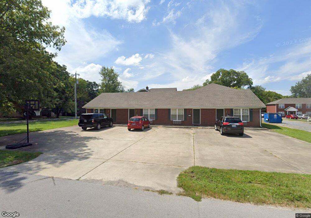
301 N Broach St Murray, KY 42071
Estimated Value: $194,000 - $341,000
4
Beds
4
Baths
2,645
Sq Ft
$101/Sq Ft
Est. Value
About This Home
This home is located at 301 N Broach St, Murray, KY 42071 and is currently estimated at $267,500, approximately $101 per square foot. 301 N Broach St is a home located in Calloway County with nearby schools including Murray Elementary School, Murray Middle School, and Murray High School.
Ownership History
Date
Name
Owned For
Owner Type
Purchase Details
Closed on
Mar 31, 2021
Sold by
Farley Shannon Keys and Farley Christopher Earl
Bought by
Farley Shannon Keys and Hendricks Christopher Earl
Current Estimated Value
Home Financials for this Owner
Home Financials are based on the most recent Mortgage that was taken out on this home.
Original Mortgage
$79,500
Outstanding Balance
$58,355
Interest Rate
2.9%
Mortgage Type
Commercial
Estimated Equity
$209,145
Purchase Details
Closed on
Mar 28, 2018
Sold by
C & J Properties No 1 Llc
Bought by
Exchange Parking Llc
Home Financials for this Owner
Home Financials are based on the most recent Mortgage that was taken out on this home.
Original Mortgage
$950,000
Interest Rate
4.38%
Mortgage Type
Future Advance Clause Open End Mortgage
Create a Home Valuation Report for This Property
The Home Valuation Report is an in-depth analysis detailing your home's value as well as a comparison with similar homes in the area
Home Values in the Area
Average Home Value in this Area
Purchase History
| Date | Buyer | Sale Price | Title Company |
|---|---|---|---|
| Farley Shannon Keys | -- | Bell Gerald | |
| Exchange Parking Llc | $950,000 | None Available |
Source: Public Records
Mortgage History
| Date | Status | Borrower | Loan Amount |
|---|---|---|---|
| Open | Farley Shannon Keys | $79,500 | |
| Previous Owner | Exchange Parking Llc | $950,000 |
Source: Public Records
Tax History
| Year | Tax Paid | Tax Assessment Tax Assessment Total Assessment is a certain percentage of the fair market value that is determined by local assessors to be the total taxable value of land and additions on the property. | Land | Improvement |
|---|---|---|---|---|
| 2025 | -- | $0 | $0 | $0 |
| 2024 | -- | $0 | $0 | $0 |
| 2023 | $0 | $0 | $0 | $0 |
| 2022 | $0 | $0 | $0 | $0 |
| 2021 | $0 | $1 | $0 | $0 |
| 2020 | $468 | $0 | $0 | $0 |
| 2019 | $468 | $0 | $0 | $0 |
| 2018 | $1,273 | $130,000 | $0 | $0 |
| 2017 | $469 | $130,000 | $0 | $0 |
| 2016 | $471 | $130,000 | $0 | $0 |
| 2015 | $418 | $130,000 | $0 | $0 |
| 2011 | $418 | $124,000 | $0 | $0 |
Source: Public Records
Map
Nearby Homes
- 1634 Main St
- 106 S Broach Ave
- 211 S 16th St
- 1316 Poplar St
- 307 Oakdale Dr
- 1201 Chestnut St
- 000 N 12th St
- 1007 Olive St
- 301 S 12th St
- 1003 Main St
- 1105 State Route 121 N Unit 1163 State Route 121
- 1506 Johnson Blvd
- Lot 129d S 16th St
- 1 Logan Trail
- 300 N 8th St
- 1608 Keenland Dr
- 400 N 8th St
- 1500 Dudley Dr
- 709 Payne St
- 1704 Keenland Dr
- 1612 Miller Ave
- 1610 Miller Ave Unit 1612 Miller, 301 Bro
- 1610 Miller Ave
- 1606 Miller Ave
- 1617 Olive St
- 203 N Broach St
- 1609 Miller Ave
- 1604 Miller Ave
- 1614 Miller Ave
- 1605 Miller Ave
- 1621 Olive St
- 1616 Miller Ave
- 1603 Miller Ave
- 1623 Olive St
- 1610 Farmer Ave
- 1612 Farmer Ave
- 1617 Miller Ave
- 1606 Farmer Ave
- 1625 Olive St
- 1618 Miller Ave